Unnamed Thermal Spring
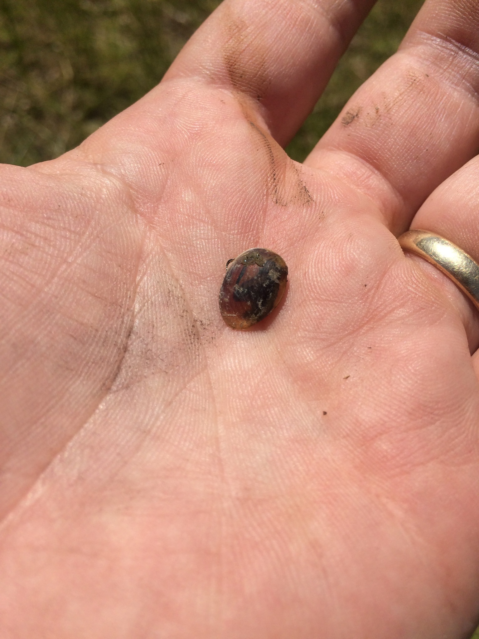
Another unnamed Sonoma County spring, this one right beside a road a mile and a half from Eldridge. The reading on record is 70 degrees, roughly air temperature on a spring afternoon, so think of it as a warm seep. A photo is attached, which is more than most unnamed points get. Ownership and access go unrecorded.
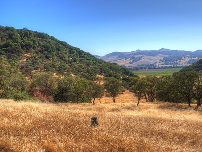
Roadside in the literal sense. The record puts the spring nine feet off the pavement, though it does not name the road. Low valley floor, a few hundred feet up, where winters bring a couple of feet of rain and summers bring none. Snow does not happen here. What surrounds the outlet goes undescribed anywhere on file, so the photo is your best guide to what you will see.
The listed best months run December through February. You can park and look without a walk. No owner is recorded, so keep to the road shoulder unless you learn otherwise. Camping is thin; the only site on file is Oak Shores, twenty miles away and day use by name. No fee is recorded. The water is too cool to count as a soak.
Aircraft with laser scanners measured this ground to within inches. The scan strips out trees and buildings, leaving the bare shape of the land around this spring.
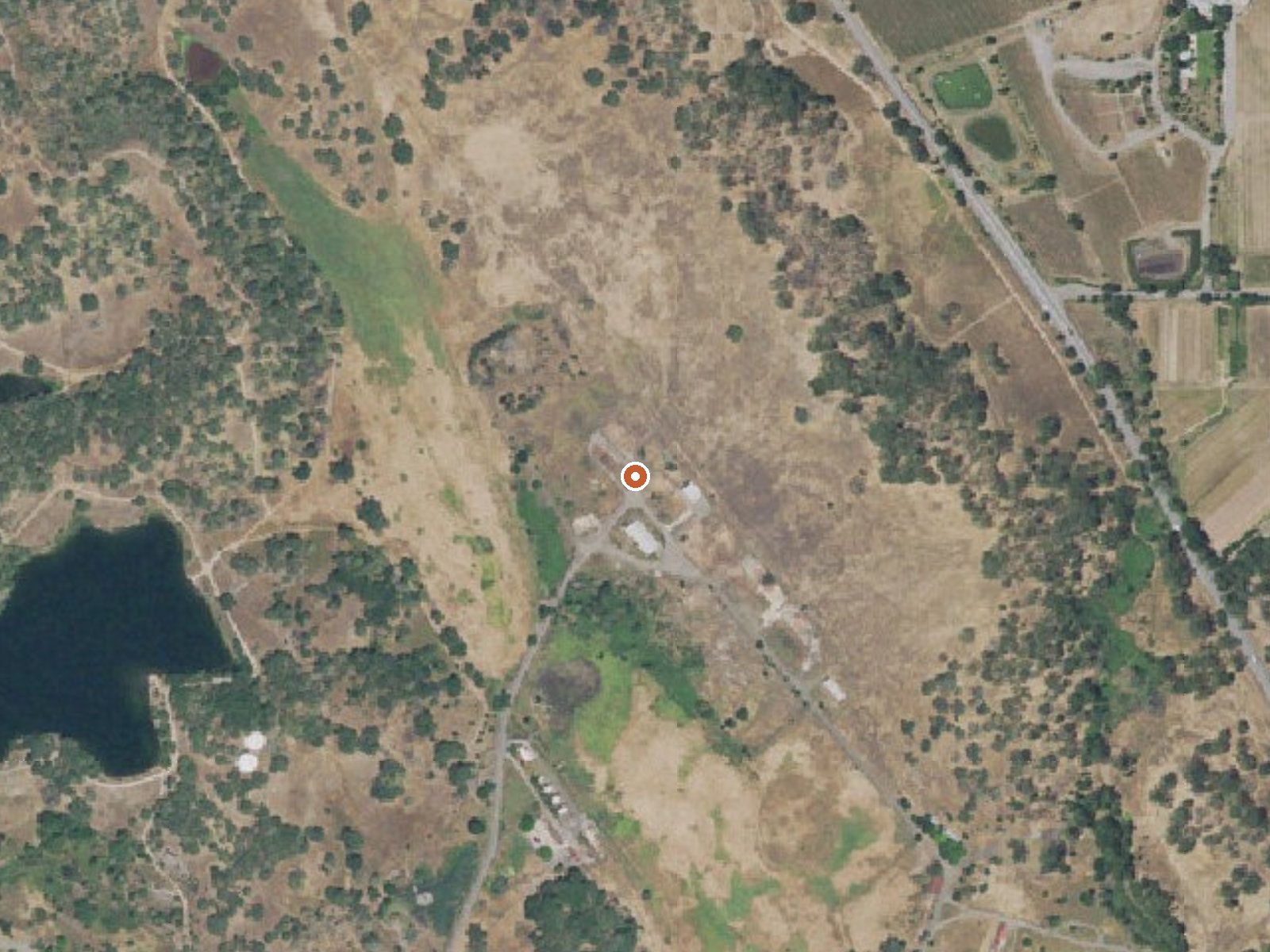
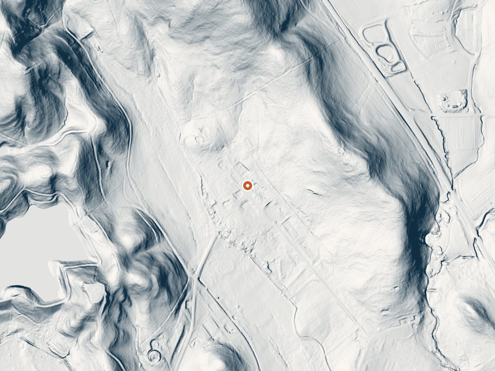
Drag the handle to compare the two views. The orange dot marks the spring, in a frame about three quarters of a mile wide.
- Setting
- Valley floor
- Gentle slopes rise on both sides.
- Highest ground nearby
- 204 ft above the spring
- Within a quarter mile, to the north
A slice through the ground from south to north, about 0.6 miles end to end.
Elevation data: USGS 3D Elevation Program. Aerial imagery: USGS The National Map. Public domain.
That's about 3 times the US average of 65. It's higher than at 98% of the springs on this site.
Heat flow measures the warmth working its way up through the ground from deep inside the earth. Where it runs high, rain and snowmelt that seep down through cracks in the rock come back up hot.
See every spring on the geothermal heat map →
Heat flow estimate: Stanford Thermal Earth Model (Aljubran & Horne, 2024), CC BY 4.0.
Some links are affiliate links. We may earn a commission at no extra cost to you.
Overview Nestled between Blue Ridge and Cedar Roughs east of Napa Valley, Lake Berryessa provides ample public recreation opportunities. Popular activities on and around the large, yet uncrowded lake include fishing, boating, water skiing, wake boarding, jet skiing, sailing, swimming, kayaking, canoeing, wildlife viewing, hiking, biking and picnicking. The Dufer Point Visitor Center offers year-round interpretive events and exhibits highlighting natural and cultural resources. Lake Berrye...
this spring is road-accessible, so you can bring more gear.




As an Amazon Associate, we earn from qualifying purchases.
Springs Near This Spring
More Springs Around 70°F
Hike 6 waterfalls near this spring
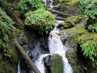
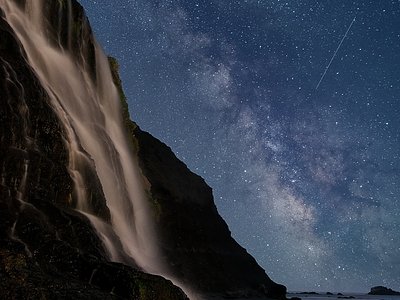
Looking for more outdoor adventures? Explore waterfall hikes near this spring, California.