Los Guilicos Warm Springs
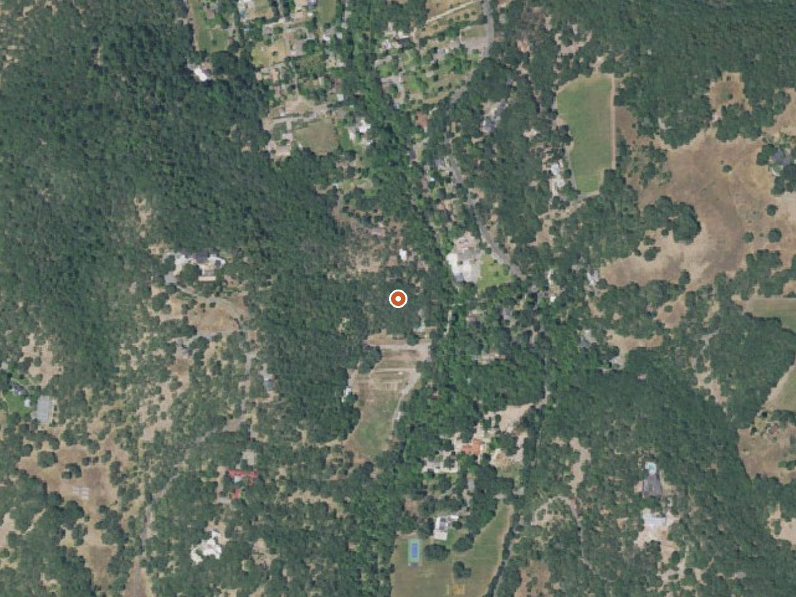
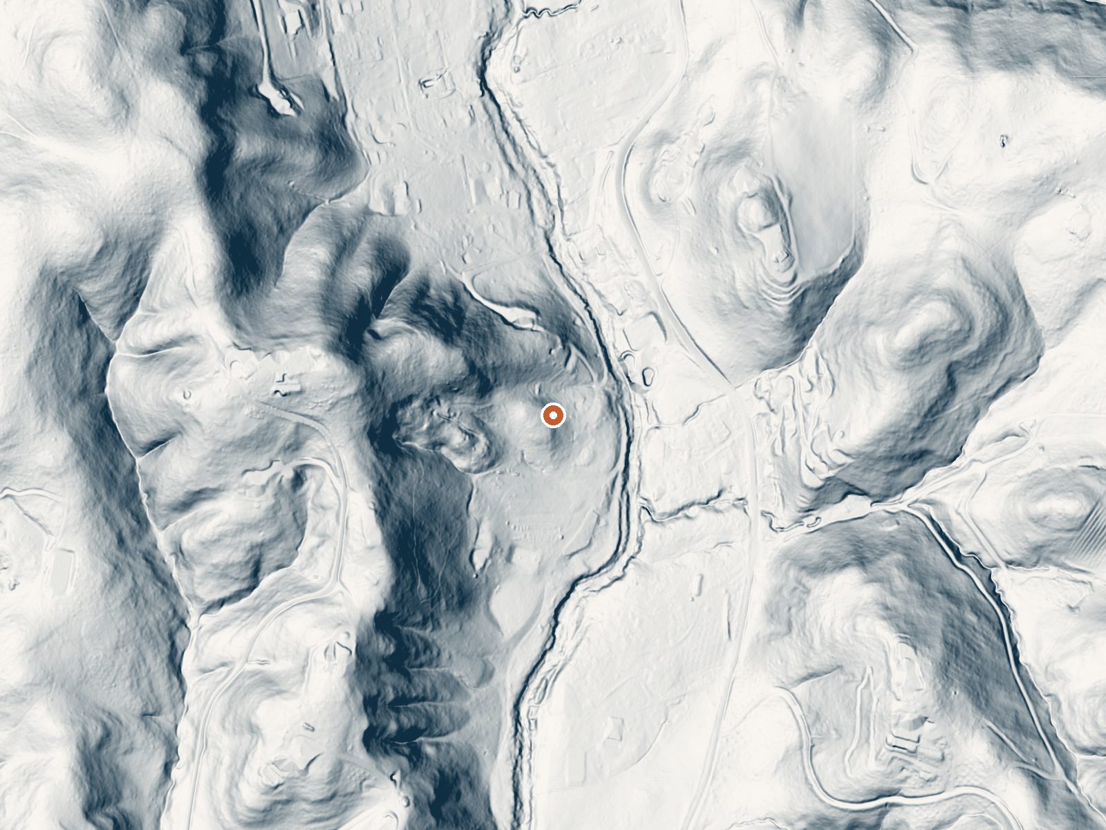
Drag the handle to compare the two views. The orange dot marks the spring, in a frame about three quarters of a mile wide.
Kenwood, in Sonoma County, is under two miles from Los Guilicos Warm Springs, where the water sits a little below body temperature. A 2003 USGS measurement shows moderate dissolved solids and nothing else was sampled. Ownership and access are both blank in the record, and no photo has been attached.
A walk of about five hundred feet from the nearest road, unnamed in the record. This is low ground, a few hundred feet above sea level, with no snow and a fair bit of rain. Oak Shores Day Use Area is the nearest camping listed, some twenty miles distant. Land unit is not given, and designation is missing too.
Winter scores best here, and with no snow any season is possible. The water is warm enough to sit in and too cool to burn. Nothing says the public may enter. With a town this close, treat the ground as private until shown otherwise. The only chemistry on file is a dissolved-solids reading from 2003.
Aircraft with laser scanners measured this ground to within inches. The scan strips out trees and buildings, leaving the bare shape of the land around Los Guilicos Warm Springs.
- Setting
- Hillside
- The spring sits on a steep slope that climbs to the northwest.
- Highest ground nearby
- 221 ft above the spring
- Within a quarter mile, to the northwest
A slice through the ground from northwest to southeast, about 0.6 miles end to end.
Elevation data: USGS 3D Elevation Program. Aerial imagery: USGS The National Map. Public domain.
That's about 3 times the US average of 65. It's higher than at 98% of the springs on this site.
Heat flow measures the warmth working its way up through the ground from deep inside the earth. Where it runs high, rain and snowmelt that seep down through cracks in the rock come back up hot.
See every spring on the geothermal heat map →
Heat flow estimate: Stanford Thermal Earth Model (Aljubran & Horne, 2024), CC BY 4.0.
The water at Los Guilicos Warm Springs contains 641 mg/L total dissolved solids.
Overview Nestled between Blue Ridge and Cedar Roughs east of Napa Valley, Lake Berryessa provides ample public recreation opportunities. Popular activities on and around the large, yet uncrowded lake include fishing, boating, water skiing, wake boarding, jet skiing, sailing, swimming, kayaking, canoeing, wildlife viewing, hiking, biking and picnicking. The Dufer Point Visitor Center offers year-round interpretive events and exhibits highlighting natural and cultural resources. Lake Berrye...
Springs Near Los Guilicos Warm Springs
More Springs Around 88°F
Hike 6 waterfalls near Los Guilicos Warm Springs
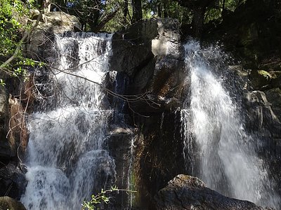
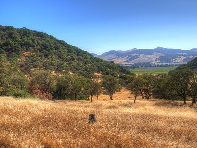
Looking for more outdoor adventures? Explore waterfall hikes near Los Guilicos Warm Springs, California.