Iron Mountain Hot Springs
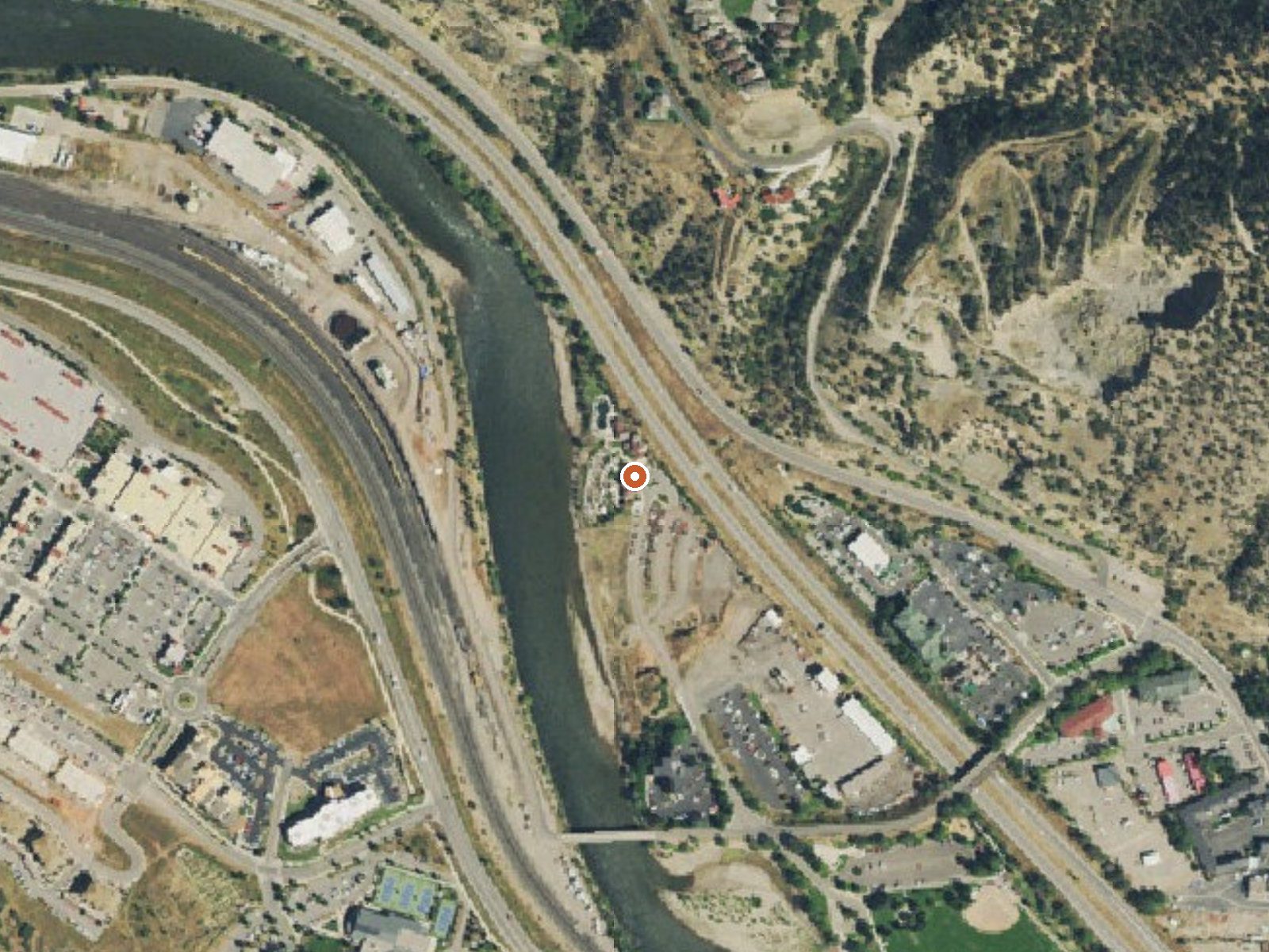
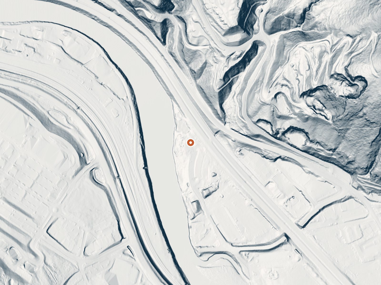
Drag the handle to compare the two views. The orange dot marks the spring, in a frame about three quarters of a mile wide.
Iron Mountain Hot Springs is a hot springs resort on the banks of the Colorado River in Glenwood Springs, Garfield County, right in town. No temperature is on file for this record, so the page cannot say how hot the pools run. What the 1965 USGS sample does show is extremely salty water, with dissolved solids in the tens of thousands of milligrams per liter, and an alkaline pH.
The river and the road are both right there; the record puts the source within a few dozen feet of the road. Glenwood Springs sits at mid elevation. Snow is heavy, around eight and a half feet a year, with moderate rain. Thompson Creek Campground is the closest camp on file, about sixteen miles out. Land owner and designation are blank.
no best months is on record for this one. Fee and hours are absent from the record, as is any current pool temperature, so ask the resort. The chemistry reading is sixty years old and describes the source, which may bear no relation to what is in a pool. Thompson Creek Campground, sixteen miles.
Wikipedia describes Iron Mountain Hot Springs as a therapeutic natural hot springs resort on the Colorado River in Glenwood Springs. The USGS chemistry sample dates to October 1965.
Aircraft with laser scanners measured this ground to within inches. The scan strips out trees and buildings, leaving the bare shape of the land around Iron Mountain Hot Springs.
- Setting
- Hillside
- The spring sits on a steep slope that climbs to the east.
- Highest ground nearby
- 282 ft above the spring
- Within a quarter mile, to the east
A slice through the ground from southwest to northeast, about 0.6 miles end to end.
Elevation data: USGS 3D Elevation Program. Aerial imagery: USGS The National Map. Public domain.
That's about 2½ times the US average of 65. It's higher than at 93% of the springs on this site.
Heat flow measures the warmth working its way up through the ground from deep inside the earth. Where it runs high, rain and snowmelt that seep down through cracks in the rock come back up hot.
See every spring on the geothermal heat map →
Heat flow estimate: Stanford Thermal Earth Model (Aljubran & Horne, 2024), CC BY 4.0.
The water at Iron Mountain Hot Springs is slightly alkaline (pH 8.5) with 22000 mg/L total dissolved solids. It is notably rich in calcium (may support bone density and joint health), magnesium (known for muscle relaxation and stress relief), and sodium (supports circulation and skin hydration).
Some links are affiliate links. We may earn a commission at no extra cost to you.
The Thompson Creek Recreation Management Area is located just a few miles southwest of Carbondale and provides beautiful, remote recreational opportunities. On the North end of the RMA is the Lorax trail, which is a popular non motorized route. In the southwest corner of the area is the Thompson Creek campground and trail, which winds along Thompson Creek to views of the rare geologic “fin” formations. There are 4 shaded campsites along the creek with metal fire rings. There are not picnic...
Iron Mountain Hot Springs sits at 5,740 feet above sea level, way above the mile-high mark. You may not feel the altitude strongly, but hot water still dehydrates you faster at elevation. UV is about 23% stronger than at sea level, so bring sunscreen and drink more water than you normally would.



As an Amazon Associate, we earn from qualifying purchases.
Iron Mountain Hot Springs is road-accessible, so you can bring more gear.






As an Amazon Associate, we earn from qualifying purchases.
Springs Near Iron Mountain Hot Springs
Slightly Alkaline Springs (pH ~8.5)
Hike 6 waterfalls near Iron Mountain Hot Springs
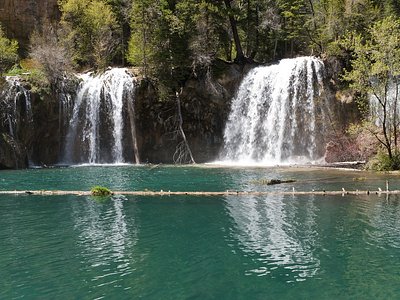
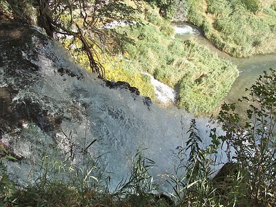
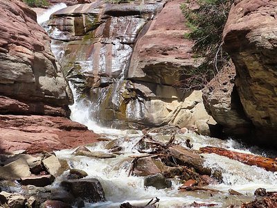
Looking for more outdoor adventures? Explore waterfall hikes near Iron Mountain Hot Springs, Colorado.