Glenwood Springs
Glenwood Springs, the spring, shares its name with the Garfield County seat it sits in, less than a mile from the town center. The record puts the water at 124 degrees, hot. OpenStreetMap lists it as Sacred Waters, a thermal bath with an entry fee, which tells you it is a developed, commercial soak. The 1975 USGS sample found slightly acidic water carrying iron and sulfate.
The spring is in town, twenty-six feet from the road by the record, at about 5,700 feet where the Roaring Fork meets the Colorado River. Snow is heavy, more than a hundred inches a year, and mean temperatures sit in the upper forties. Thompson Creek campground, the nearest on file, is almost sixteen miles off.
The listed months are December through February, and a heated pool in a snowy town makes sense of that. Expect to pay; the fee is on record. Water straight from the source is hot enough to burn, so use the bathing facilities as they are set up and do not hunt for the raw outlet. Camp at Thompson Creek if you want to camp, though it is a drive.
The town of Glenwood Springs, population a bit under ten thousand at the 2020 census, is the Garfield County seat and sits at the confluence of the Roaring Fork and Colorado rivers. The bath itself appears in OpenStreetMap under the name Sacred Waters.
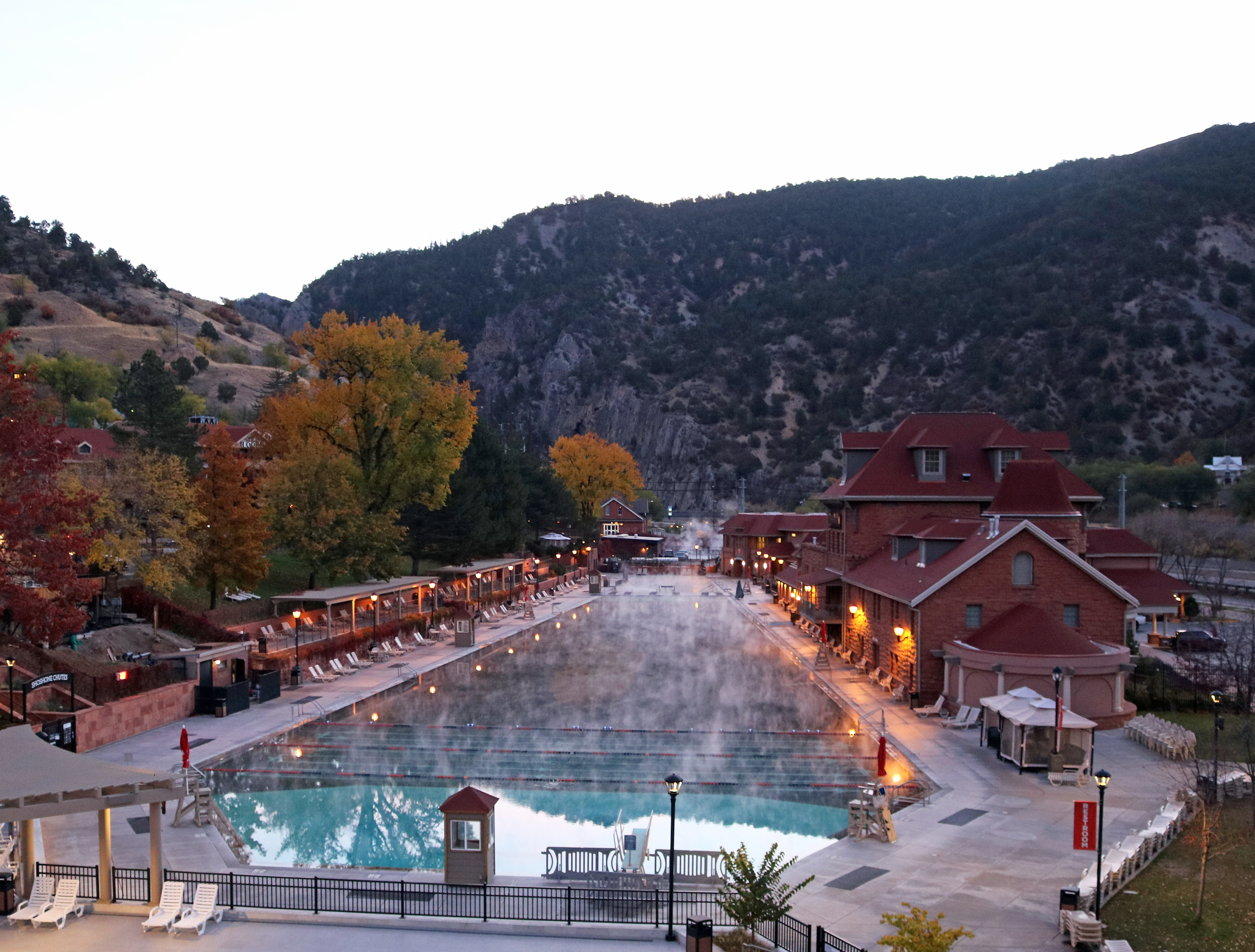
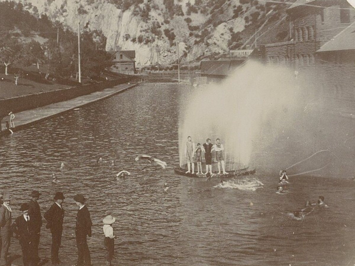
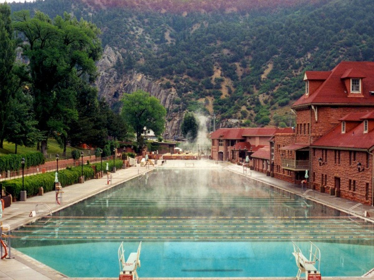
Looking down the length of the big pool toward the Glenwood Canyon cliffs, with the bathhouse on the right. The fountain is gone, and a red sandstone lodge now sits beside the water.
Drag to compare.
c. 1895: Unknown photographer, Rijksmuseum, public domain. 2000: Scott Catron, CC BY 2.5.
Aircraft with laser scanners measured this ground to within inches. The scan strips out trees and buildings, leaving the bare shape of the land around Glenwood Springs.
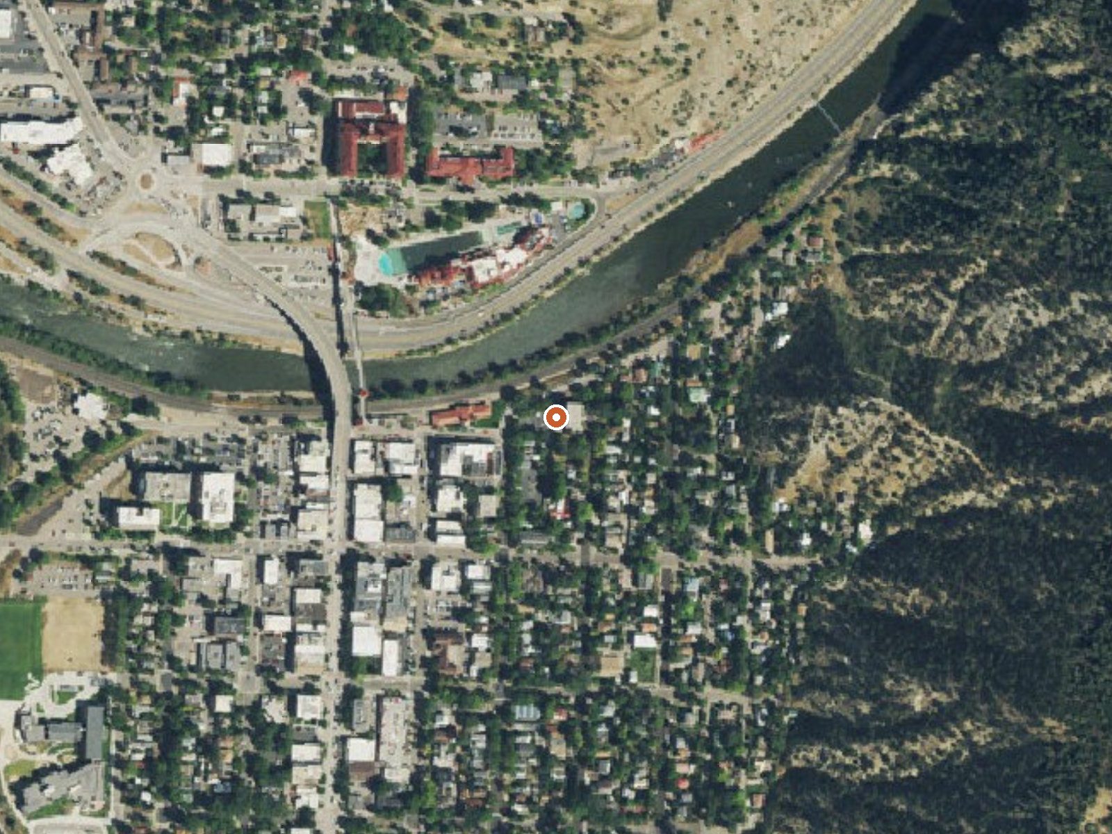
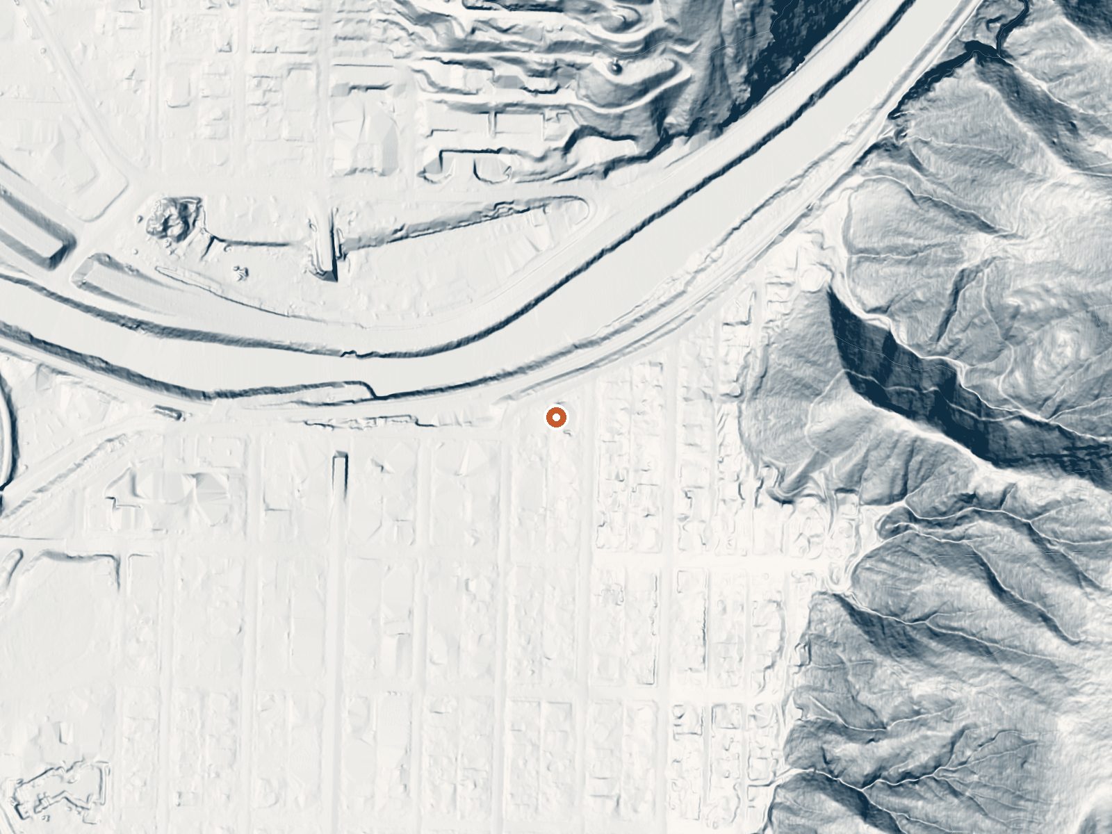
Drag the handle to compare the two views. The orange dot marks the spring, in a frame about three quarters of a mile wide.
- Setting
- Hillside
- The spring sits on a steep slope that climbs to the east.
- Highest ground nearby
- 296 ft above the spring
- Within a quarter mile, to the east
A slice through the ground from west to east, about 0.6 miles end to end.
Elevation data: USGS 3D Elevation Program. Aerial imagery: USGS The National Map. Public domain.
That's about 2½ times the US average of 65. It's higher than at 92% of the springs on this site.
Heat flow measures the warmth working its way up through the ground from deep inside the earth. Where it runs high, rain and snowmelt that seep down through cracks in the rock come back up hot.
See every spring on the geothermal heat map →
Heat flow estimate: Stanford Thermal Earth Model (Aljubran & Horne, 2024), CC BY 4.0.
The water at Glenwood Springs is slightly acidic (pH 6.7). It is notably rich in calcium (may support bone density and joint health), magnesium (known for muscle relaxation and stress relief), and sodium (supports circulation and skin hydration).
Some links are affiliate links. We may earn a commission at no extra cost to you.
The Thompson Creek Recreation Management Area is located just a few miles southwest of Carbondale and provides beautiful, remote recreational opportunities. On the North end of the RMA is the Lorax trail, which is a popular non motorized route. In the southwest corner of the area is the Thompson Creek campground and trail, which winds along Thompson Creek to views of the rare geologic “fin” formations. There are 4 shaded campsites along the creek with metal fire rings. There are not picnic...
Glenwood Springs sits at 5,740 feet above sea level, way above the mile-high mark. You may not feel the altitude strongly, but hot water still dehydrates you faster at elevation. UV is about 23% stronger than at sea level, so bring sunscreen and drink more water than you normally would.



As an Amazon Associate, we earn from qualifying purchases.
Glenwood Springs is road-accessible, so you can bring more gear. The water runs hot, so extra hydration is key.





As an Amazon Associate, we earn from qualifying purchases.
Springs Near Glenwood Springs
More Springs Around 124°F
Slightly Acidic Springs (pH ~6.7)
Hike 6 waterfalls near Glenwood Springs
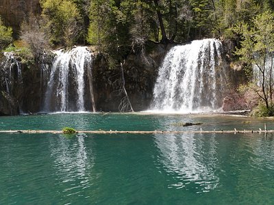
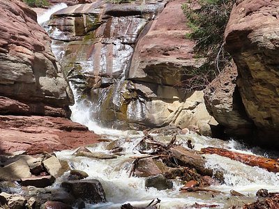
Looking for more outdoor adventures? Explore waterfall hikes near Glenwood Springs, Colorado.