Mineral Hot Springs
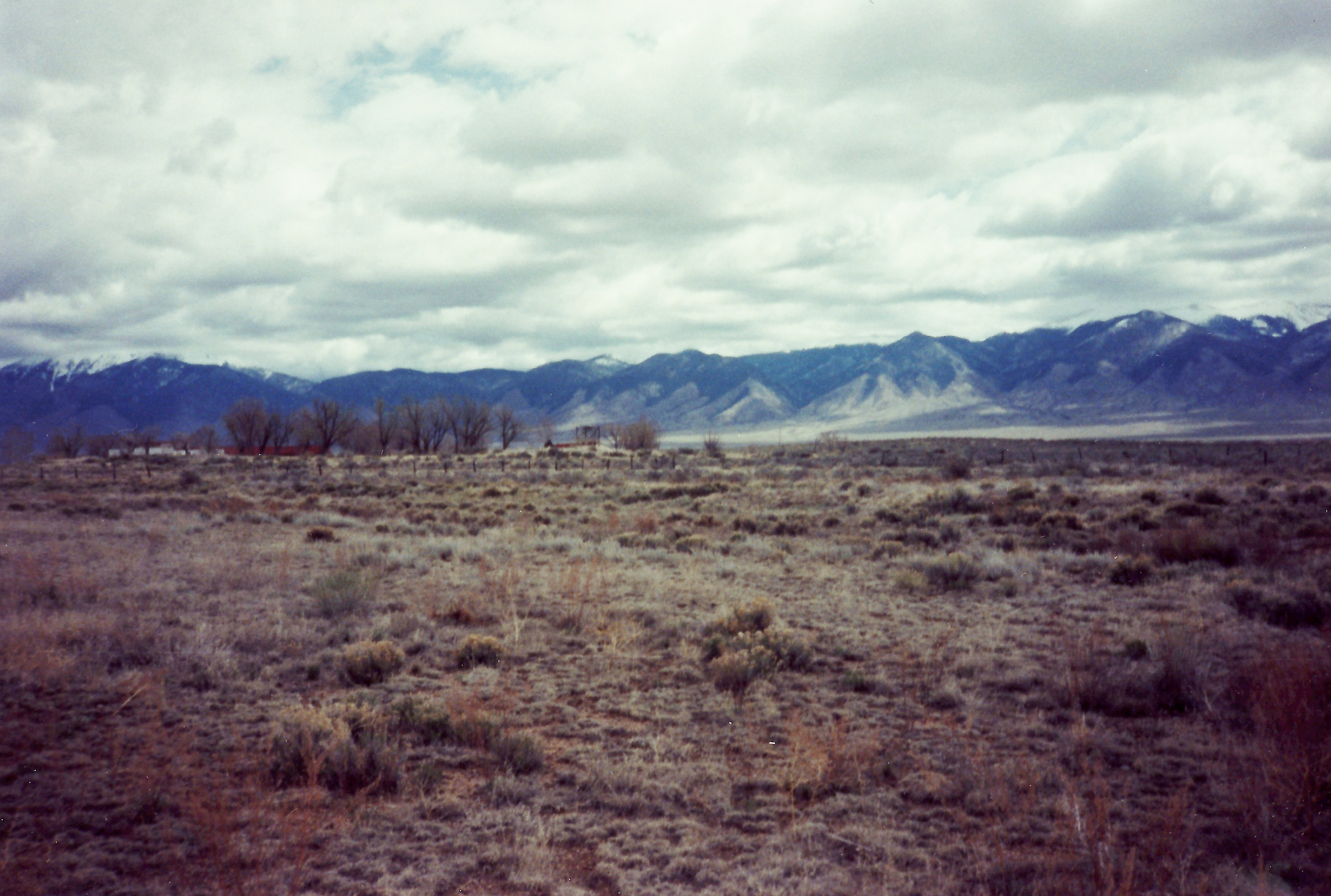
Mineral Hot Springs, in Saguache County at the northern end of the San Luis Valley, is a thermal spring whose source reading sits right at the line where hot becomes scalding. Saguache is thirteen miles away. OpenStreetMap tags the point as plain Hot Springs. A 1976 chemistry sample is on file. No access and ownership is on record.
The road is a couple hundred feet off; the record calls that roadside. The valley floor here is high and dry, with modest snow, around a foot of precipitation in a year and cold averages. Coaldale Campground, thirteen miles out, is the closest camp in the record. Land unit and designation are empty.
The cold months rank best. Water this hot will burn; do not assume any pool is cooler than the source without testing it. Nobody has recorded public access or an owner, so check before visiting. Coaldale Campground, thirteen miles. The pH is near neutral on a fifty-year-old sample.
Wikipedia places Mineral Hot Springs in the northern San Luis Valley of Saguache County. OpenStreetMap lists the same point under the plain label Hot Springs, and the USGS holds a chemistry record from April 1976.
Aircraft with laser scanners measured this ground to within inches. The scan strips out trees and buildings, leaving the bare shape of the land around Mineral Hot Springs.
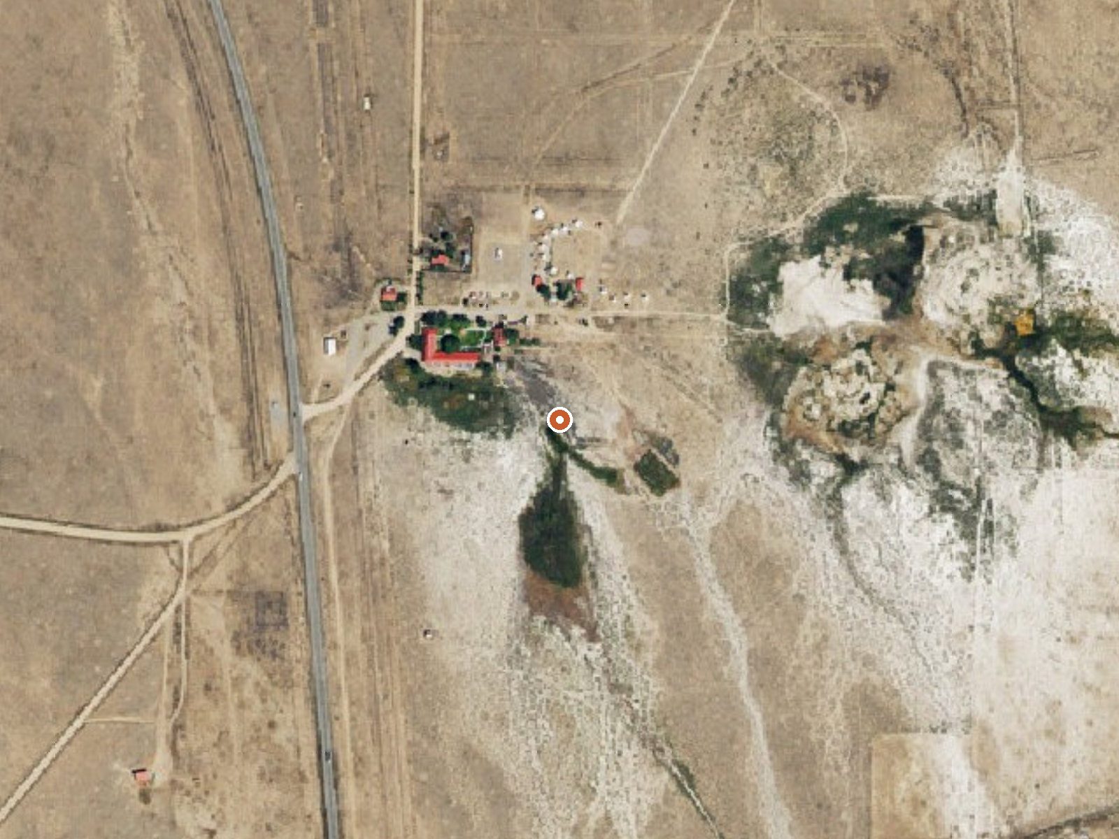
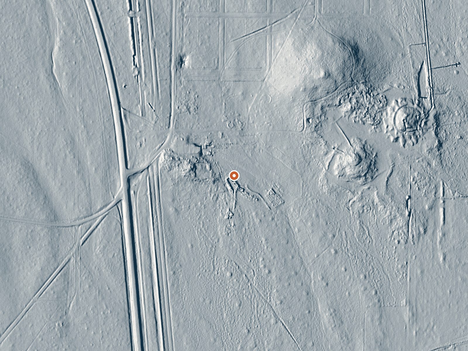
Drag the handle to compare the two views. The orange dot marks the spring, in a frame about three quarters of a mile wide.
- Setting
- Open ground
- Flat, open ground all around.
- Highest ground nearby
- 22 ft above the spring
- Within a quarter mile, to the northeast
A slice through the ground from northwest to southeast, about 0.6 miles end to end.
Elevation data: USGS 3D Elevation Program. Aerial imagery: USGS The National Map. Public domain.
That's about 1½ times the US average of 65. It's higher than at 35% of the springs on this site.
Heat flow measures the warmth working its way up through the ground from deep inside the earth. Where it runs high, rain and snowmelt that seep down through cracks in the rock come back up hot.
See every spring on the geothermal heat map →
Heat flow estimate: Stanford Thermal Earth Model (Aljubran & Horne, 2024), CC BY 4.0.
The water at Mineral Hot Springs is slightly alkaline (pH 7.3).
Some links are affiliate links. We may earn a commission at no extra cost to you.
Coaldale Campground is located on the banks of Hayden Creek and is a quiet campground with only 10 campsites. Most of the campsites are walk-in sites with small parking areas. The area is thick with gamble oak, juniper, and cottonwood trees . Sites 1-5 are walk-in sites for tent camping. Vault toilet is available only during peak season
Mineral Hot Springs sits at 7,744 feet above sea level, way above the mile-high mark. You may not feel the altitude strongly, but hot water still dehydrates you faster at elevation. UV is about 31% stronger than at sea level, so bring sunscreen and drink more water than you normally would.



As an Amazon Associate, we earn from qualifying purchases.
Mineral Hot Springs is road-accessible, so you can bring more gear. The water runs hot, so extra hydration is key. Cold air temperatures make a changing robe or warm layers essential.





As an Amazon Associate, we earn from qualifying purchases.
Springs Near Mineral Hot Springs
More Springs Around 140°F
Slightly Alkaline Springs (pH ~7.3)
Hike 6 waterfalls near Mineral Hot Springs
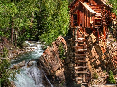
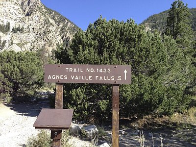
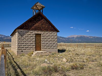
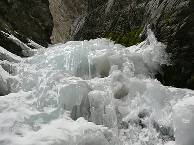
Looking for more outdoor adventures? Explore waterfall hikes near Mineral Hot Springs, Colorado.