Warm Spring (Mesa County, Colorado)
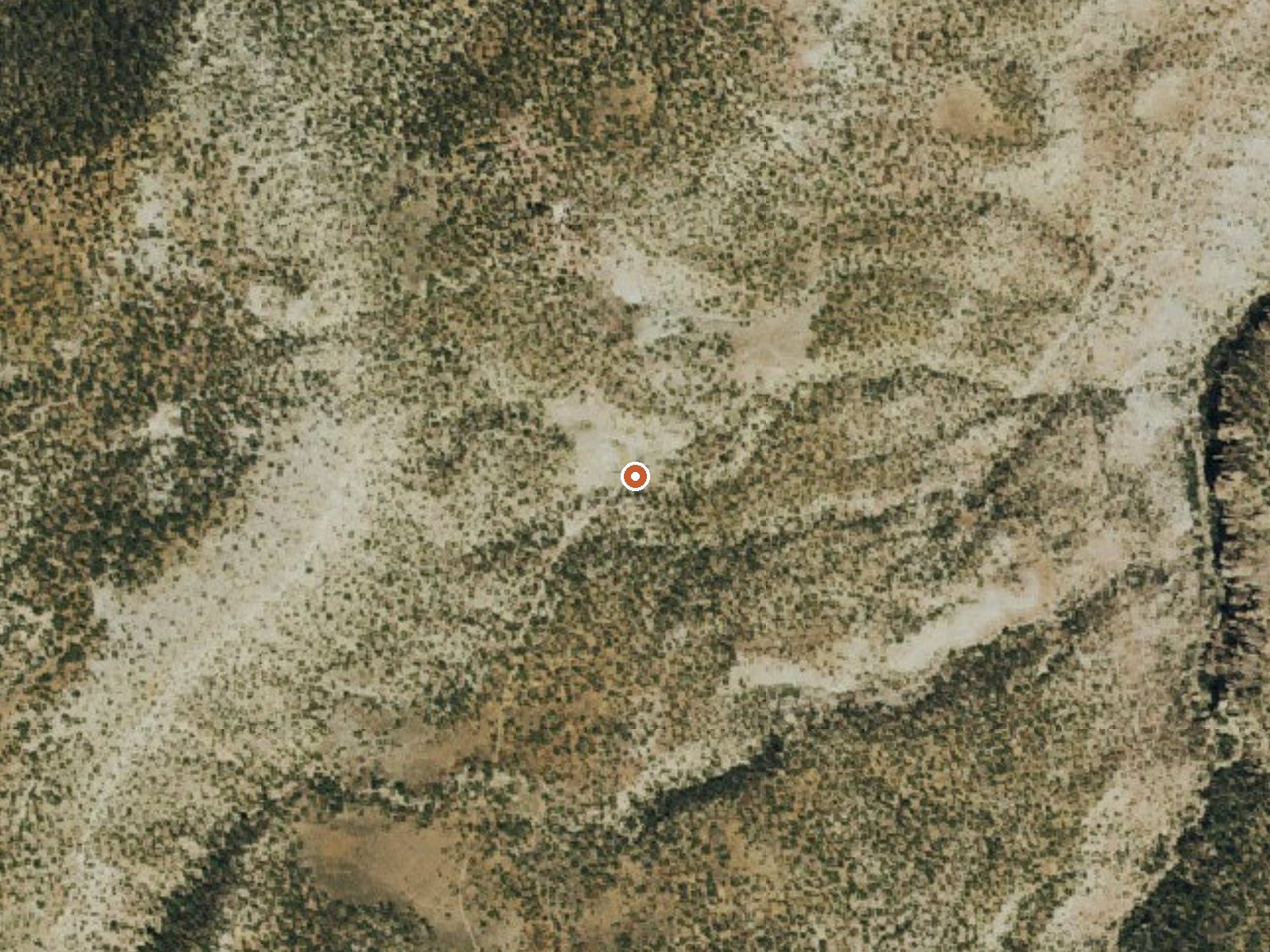
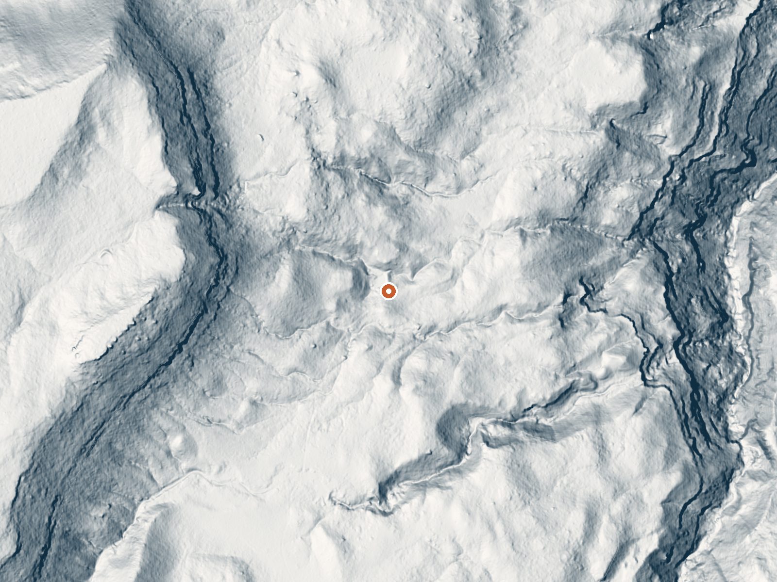
Drag the handle to compare the two views. The orange dot marks the spring, in a frame about three quarters of a mile wide.
Warm Spring in Mesa County is a USGS thermal point on BLM ground administered by the Grand Junction Field Office. Orchard Mesa is the nearest town, around nineteen miles off. No temperature has ever been recorded here, so do not plan on soaking. The one measurement on file, from a 1980 sample, shows a fair mineral load. Public access is listed as open.
Public land, high desert by elevation and rainfall, with under a foot and a half of precipitation in a typical year. Snow falls in winter, a few feet of it. The spring lies about half a mile from the closest road, which the record classes as a short walk. The nearest listed campground is Aspen Leaf Cabin in the Uncompahgre National Forest, fifteen miles out.
There is no best-season ranking for this one because there is no temperature to rank it on. The sample that gave us a mineral reading dates from 1980, and nothing newer exists. Go expecting a seep or a wet spot on BLM land. A pool is not in the record. Open access means you can walk to it. How warm it runs is unverified.
Aircraft with laser scanners measured this ground to within inches. The scan strips out trees and buildings, leaving the bare shape of the land around Warm Spring (Mesa County, Colorado).
- Setting
- Hillside
- The spring sits on a steep slope that climbs to the west.
- Highest ground nearby
- 412 ft above the spring
- Within a quarter mile, to the west
A slice through the ground from west to east, about 0.6 miles end to end.
Elevation data: USGS 3D Elevation Program. Aerial imagery: USGS The National Map. Public domain.
That's close to the US average of 65. It's higher than at 15% of the springs on this site.
Heat flow measures the warmth working its way up through the ground from deep inside the earth. Where it runs high, rain and snowmelt that seep down through cracks in the rock come back up hot.
See every spring on the geothermal heat map →
Heat flow estimate: Stanford Thermal Earth Model (Aljubran & Horne, 2024), CC BY 4.0.
The water at Warm Spring (Mesa County, Colorado) contains 819 mg/L total dissolved solids.
Some links are affiliate links. We may earn a commission at no extra cost to you.
Overview Aspen Leaf is one of three cabins at the Cold Springs Work Center that welcomes guests with its homey vibe and remote mountain setting. Mountain biking and off-road vehicle trails are easily accessed here. The cabin was built in the 1930s for use by Forest Service employees. Vehicles can easily access the area, but a 4WD may be required in October, depending on weather conditions.Recreation The North Uncompahgre boasts an extensive ATV trail system known as the Divide Forks ATV comp...
Warm Spring (Mesa County, Colorado) sits at 7,160 feet above sea level, way above the mile-high mark. You may not feel the altitude strongly, but hot water still dehydrates you faster at elevation. UV is about 29% stronger than at sea level, so bring sunscreen and drink more water than you normally would.



As an Amazon Associate, we earn from qualifying purchases.
Warm Spring (Mesa County, Colorado) is road-accessible, so you can bring more gear.






As an Amazon Associate, we earn from qualifying purchases.
Springs Near Warm Spring (Mesa County, Colorado)
Hike 1 waterfall near Warm Spring (Mesa County, Colorado)
Looking for more outdoor adventures? Explore waterfall hikes near Warm Spring (Mesa County, Colorado), Colorado.