Avon Warm Spring
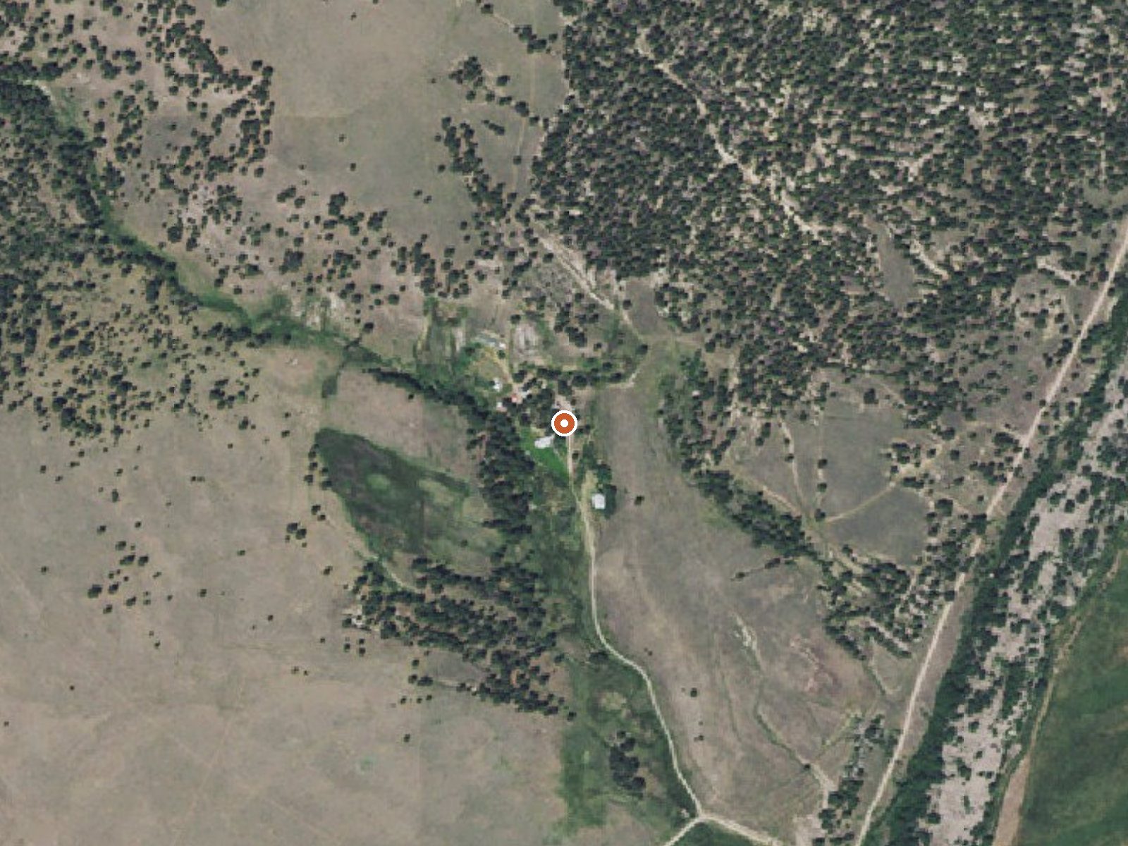
The orange dot marks the spring, in a frame about three quarters of a mile wide.
Avon Warm Spring is tepid water in Powell County, Montana, seventeen miles from Deer Lodge. On a hot day it would be comfortable to stand in. No chemistry has been taken, the record says nothing about ownership or access, and the USGS never gave it a site number. The temperature is the whole file.
The spring is essentially in the road; eleven feet is the recorded distance to the nearest one, which goes unnamed in our data. It sits at a middling Montana elevation, in a valley that sees six feet or so of snow over a winter. Quigley Group Use is the nearest camping, twelve miles out.
The file lists the dead of winter as best. Anything that close to a road is easy to reach and easy to get in trouble over if the ground turns out private, and the record is silent on that. The water will not warm you in winter. There is no sample to tell you what is dissolved in it.
USGS hasn't flown a detailed laser scan here yet, so this view comes from aerial photos and older elevation data.
- Setting
- Hillside
- The spring sits on a steep slope that climbs to the north.
- Highest ground nearby
- 179 ft above the spring
- Within a quarter mile, to the north
A slice through the ground from south to north, about 0.6 miles end to end.
Elevation data: USGS 3D Elevation Program. Aerial imagery: USGS The National Map. Public domain.
That's about 1½ times the US average of 65. It's higher than at 59% of the springs on this site.
Heat flow measures the warmth working its way up through the ground from deep inside the earth. Where it runs high, rain and snowmelt that seep down through cracks in the rock come back up hot.
See every spring on the geothermal heat map →
Heat flow estimate: Stanford Thermal Earth Model (Aljubran & Horne, 2024), CC BY 4.0.
Overview Quigley Group Use Site sits in forested mountain terrain on the top of MacDonald Pass about 15 miles west of Helena, Montana. Quigley is on public land managed by the Helena Ranger District of the Helena-Lewis and Clark National Forest and is adjacent to the Continental Divide National Scenic (CDNST) trail. Located right on the Continental Divide at 6,300 feet elevation, there are spectacular views of surrounding country encompassing meadows, timbered slopes, and mountains. The site...
Springs Near Avon Warm Spring
More Springs Around 79°F
Hike 5 waterfalls near Avon Warm Spring
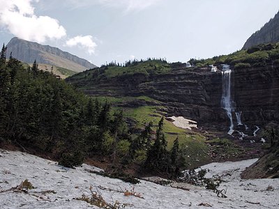
Looking for more outdoor adventures? Explore waterfall hikes near Avon Warm Spring, Montana.