El Encino Springs
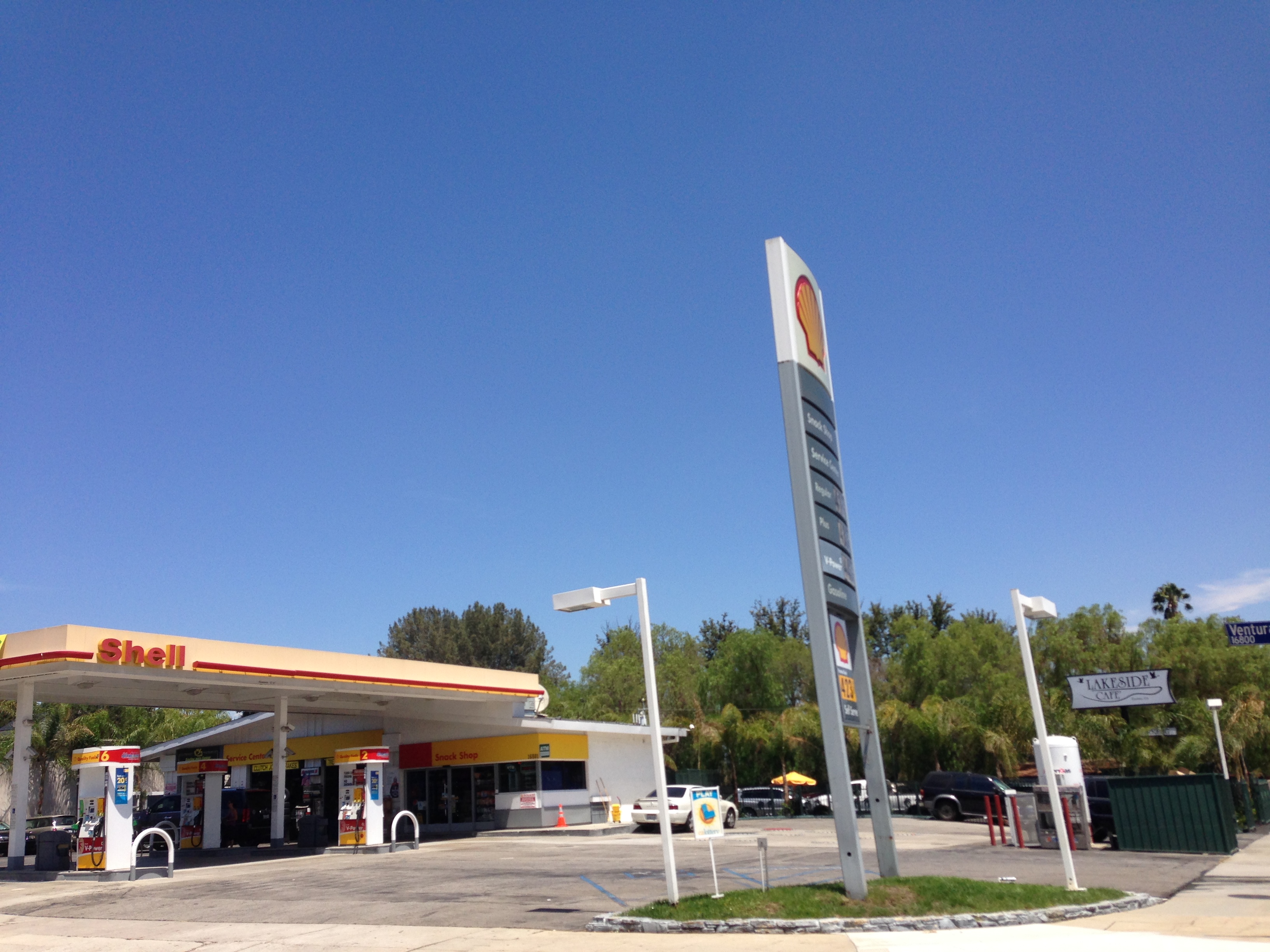
The draw at El Encino Springs is history. These are warm springs in the San Fernando Valley, in the Sherman Oaks and Encino part of Los Angeles, a few feet from a city street. The water is warm, cooler than a bath. These springs fed a Tongva village called Siutcanga and later Rancho Los Encinos. Public access is not stated in our data.
Urban. This is the valley floor of Los Angeles, with the spring seven feet from the nearest road. Little rain, warm winters, no snow. Millard Campground, over twenty miles away, is as close as camping gets in our data, and the land around the spring has no owner listed in our records.
Any month works weather wise, though the record points to winter. There is no walk. Camping is not a realistic part of a visit here; the nearest campground is twenty miles out. Ownership and access status are both blank, and since this is a historic site in a city, find out who manages it before you go.
Wikipedia identifies these as the Encino Hot Springs, on the site of Siutcanga, a village of the Tongva-Kizh people, used by several tribes for thousands of years. After settlement the artesian springs supplied water to Rancho Los Encinos.
Aircraft with laser scanners measured this ground to within inches. The scan strips out trees and buildings, leaving the bare shape of the land around El Encino Springs.
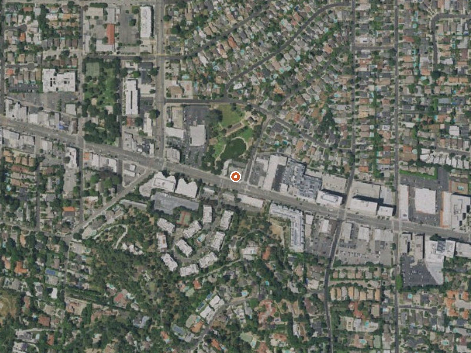
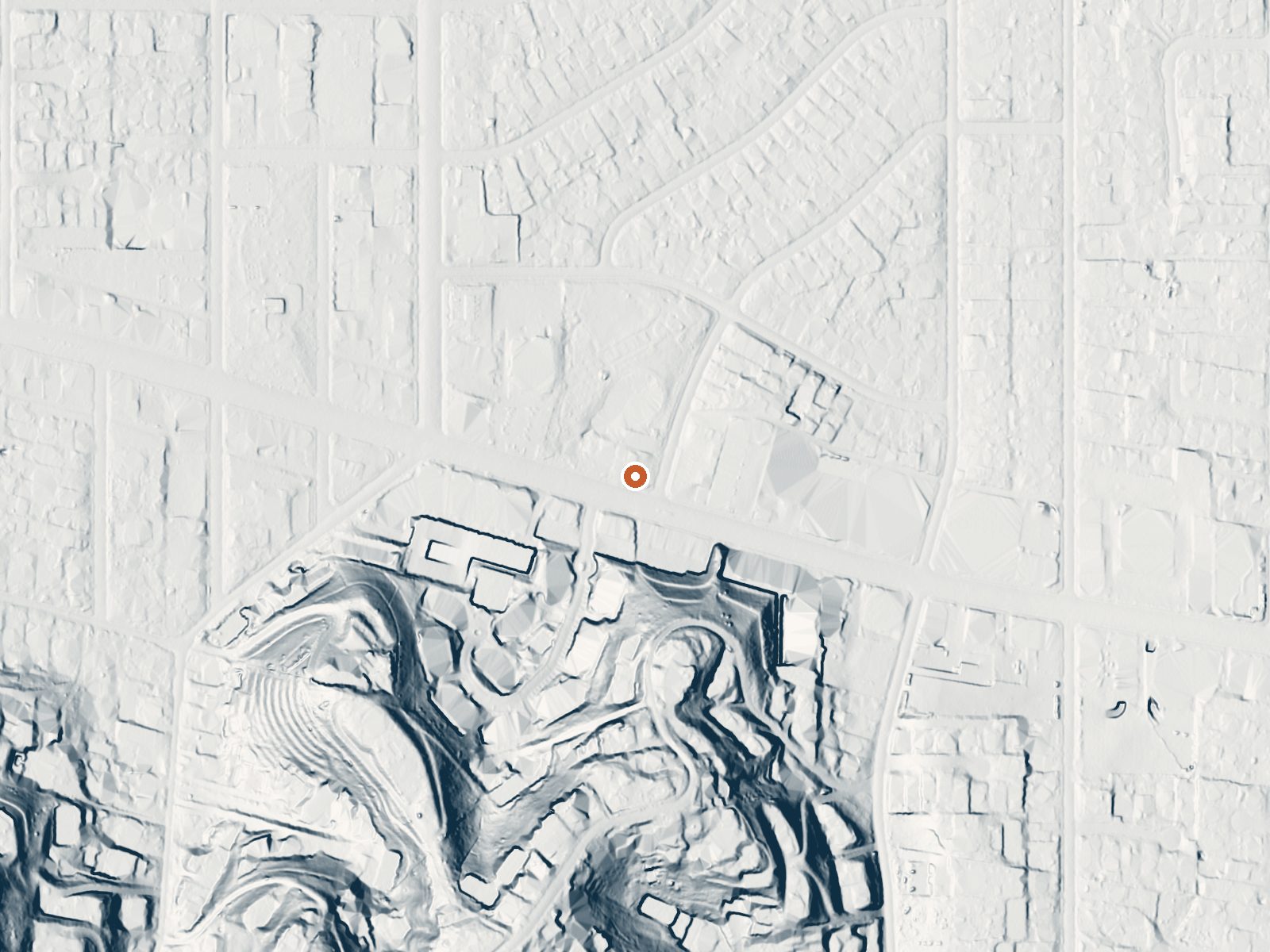
Drag the handle to compare the two views. The orange dot marks the spring, in a frame about three quarters of a mile wide.
- Setting
- Gentle slope
- The ground tilts gently up to the south.
- Highest ground nearby
- 144 ft above the spring
- Within a quarter mile, to the south
A slice through the ground from south to north, about 0.6 miles end to end.
Elevation data: USGS 3D Elevation Program. Aerial imagery: USGS The National Map. Public domain.
That's close to the US average of 65. It's higher than at 14% of the springs on this site.
Heat flow measures the warmth working its way up through the ground from deep inside the earth. Where it runs high, rain and snowmelt that seep down through cracks in the rock come back up hot.
See every spring on the geothermal heat map →
Heat flow estimate: Stanford Thermal Earth Model (Aljubran & Horne, 2024), CC BY 4.0.
Some links are affiliate links. We may earn a commission at no extra cost to you.
Gate may be closed due to High Fire danger. Elevation: 1900-Foot ElevationAmenities: 6 hike-in campsites- Picnic tables and campfire rings, vault toilets, no piped water. Seasonal stream water may be available (treat before using). However, water flow may be low or non-existent due to reduced rainfall.Hiking: Just a short hike to the 50' Millard Falls. Fees: Camping - Adventure Pass/America the Beautiful Pass Required. Campsites are first come-first served. No reserving or holding of cam...
El Encino Springs is road-accessible, so you can bring more gear.




As an Amazon Associate, we earn from qualifying purchases.
Springs Near El Encino Springs
More Springs Around 79°F
Hike 5 waterfalls near El Encino Springs
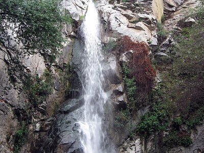
Looking for more outdoor adventures? Explore waterfall hikes near El Encino Springs, California.