Mitchell Spring
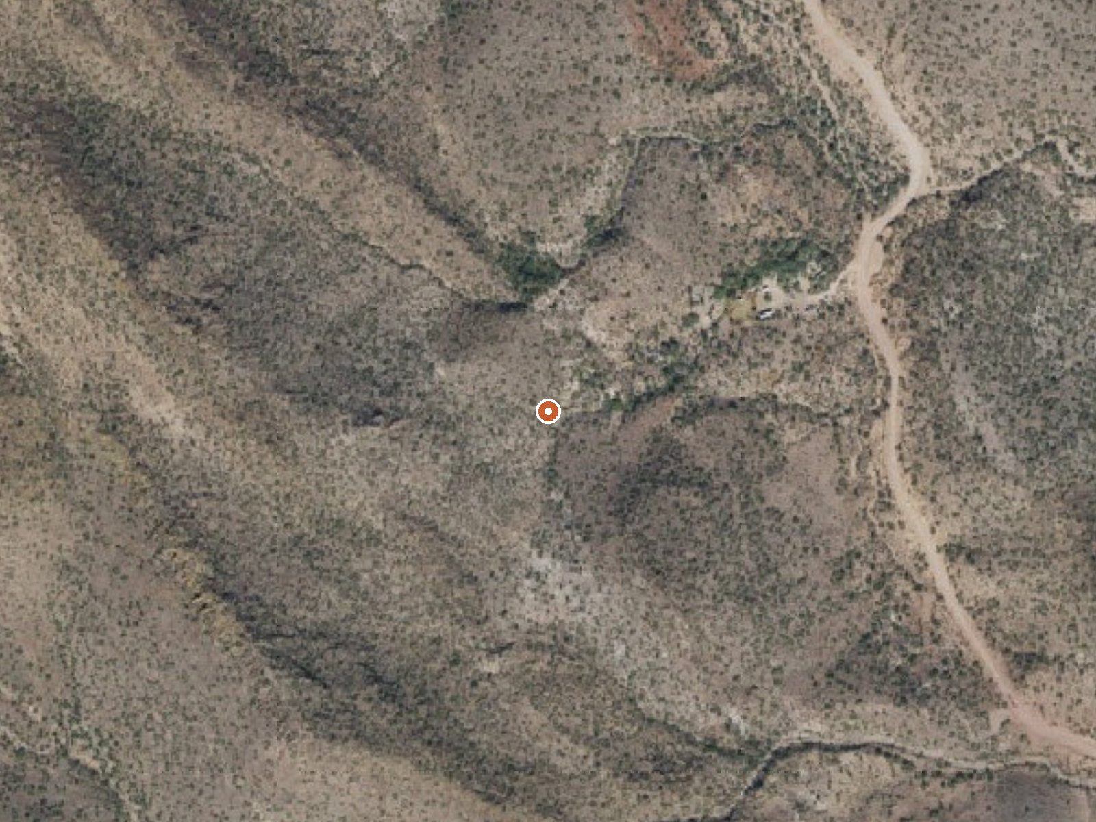
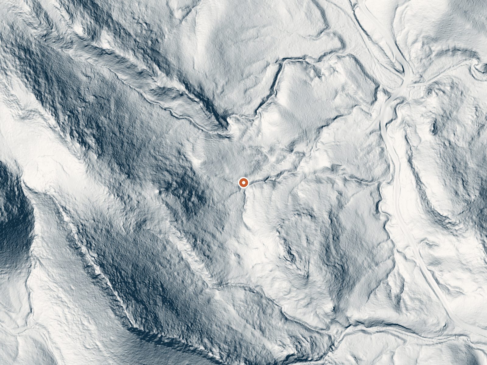
Drag the handle to compare the two views. The orange dot marks the spring, in a frame about three quarters of a mile wide.
Mitchell Spring is a warm spring in Maricopa County, about thirteen miles from Anthem, low desert by elevation at around two thousand feet. The water was measured in the high seventies, warm to the hand and nothing you would linger in on a winter night. The landowner is unrecorded and so is public access, which is the main caveat for anyone thinking of driving out.
A fifth of a mile separates the spring from the nearest road, a short walk with no road name attached to it in the record. Elevation is low and the climate runs hot and dry, with next to no snow and about eleven inches of rain a year. The mineral sample taken here found mildly alkaline water carrying calcium and sodium along with sulfate and chloride.
December through February are the rated months, and at this elevation it is easy to see why. Horsethief Cabin, around seventeen miles off, is the one overnight option listed. Access is not on record, so assume nothing about reaching the spring legally until you have checked land ownership yourself. The water chemistry dates to a single 1979 sample and may say little about the spring today.
Aircraft with laser scanners measured this ground to within inches. The scan strips out trees and buildings, leaving the bare shape of the land around Mitchell Spring.
- Setting
- Hillside
- The spring sits on a steep slope that climbs to the southwest.
- Highest ground nearby
- 403 ft above the spring
- Within a quarter mile, to the southwest
A slice through the ground from west to east, about 0.6 miles end to end.
Elevation data: USGS 3D Elevation Program. Aerial imagery: USGS The National Map. Public domain.
That's close to the US average of 65. It's higher than at 8% of the springs on this site.
Heat flow measures the warmth working its way up through the ground from deep inside the earth. Where it runs high, rain and snowmelt that seep down through cracks in the rock come back up hot.
See every spring on the geothermal heat map →
Heat flow estimate: Stanford Thermal Earth Model (Aljubran & Horne, 2024), CC BY 4.0.
The water at Mitchell Spring is slightly alkaline (pH 8.0). It is notably rich in sulfate (traditionally used for skin conditions and inflammation) and chloride (natural antiseptic with skin health benefits).
Some links are affiliate links. We may earn a commission at no extra cost to you.
Overview Horsethief Cabin is situated in a clearing of Ponderosa pines at an elevation of over 6,000 feet in the Bradshaw Mountains of the Prescott National Forest. The original cabin was built in 1939 as quarters and a staging area for Forest Service crews charged with protecting the southern end of the Bradshaw Mountains against wildfires. The cabin was remodeled and modernized over the years, but eventually fell into disuse by the 1980s. The historic structure now enjoys a second life as a...
Mitchell Spring is road-accessible, so you can bring more gear. Bring sun protection for exposed soaking.




As an Amazon Associate, we earn from qualifying purchases.
Springs Near Mitchell Spring
More Springs Around 79°F
Slightly Alkaline Springs (pH ~8.0)
Hike 2 waterfalls near Mitchell Spring
Looking for more outdoor adventures? Explore waterfall hikes near Mitchell Spring, Arizona.