Spring
An unnamed thermal point on Arizona State Trust Land in Yavapai County, seventeen miles from Prescott, recorded by the USGS as nothing more specific than a spring. The water is warm, low seventies. Access is restricted. That, and the mild temperature, make it a footnote on the map for most people. The linked Wikipedia article is the generic one on hot springs and says nothing about this site.
The spring is essentially in the road; the record puts it three feet from the nearest one. The land is State Trust Land managed by the state land office, at around four thousand feet, with a dozen inches of snow in a typical winter and moderate rainfall. Thumb Butte, twelve miles off, is the campground the record pairs with this site. The land designation is given as SRMA.
Winter months rate best. Because access is restricted, do not assume you can stop and look even though the road passes right by; confirm with the state land office first. The only water data is a total dissolved solids figure from 1979, moderate mineral content and long out of date. No fee is on record.
Aircraft with laser scanners measured this ground to within inches. The scan strips out trees and buildings, leaving the bare shape of the land around Spring.
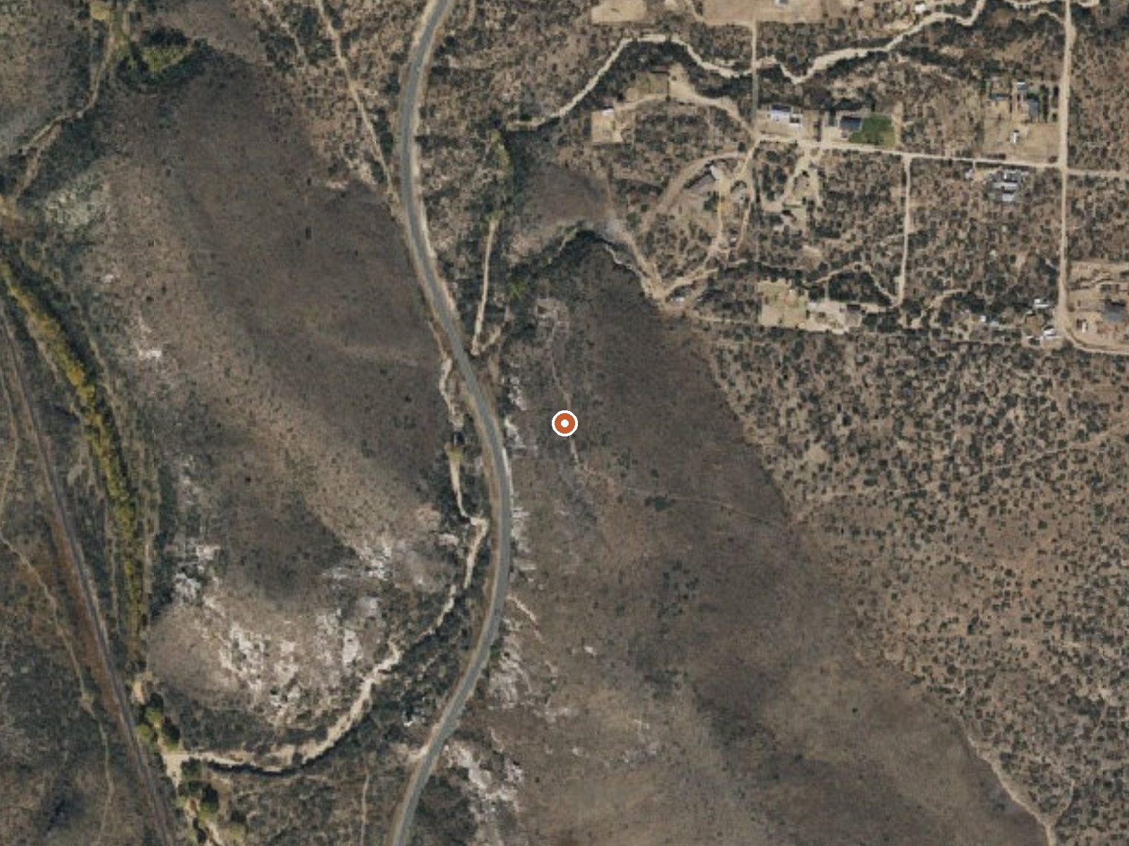
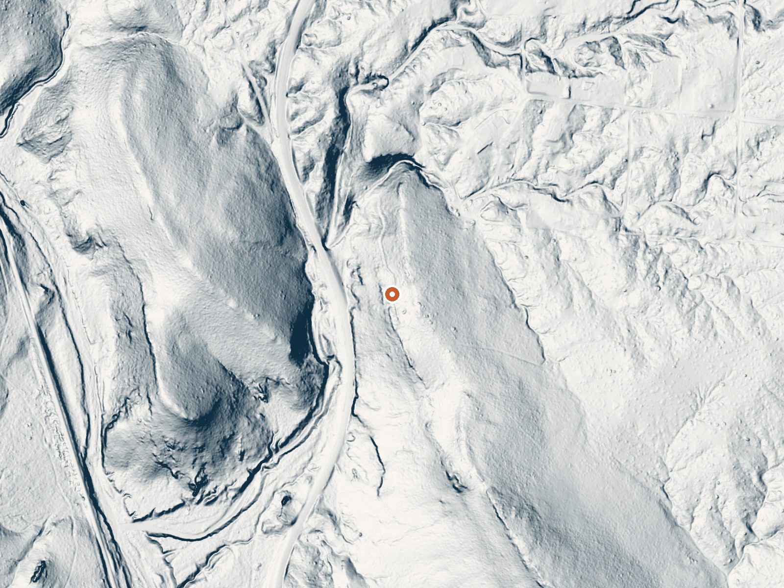
Drag the handle to compare the two views. The orange dot marks the spring, in a frame about three quarters of a mile wide.
- Setting
- Gentle slope
- The ground tilts gently up to the south.
- Highest ground nearby
- 67 ft above the spring
- Within a quarter mile, to the south
A slice through the ground from southwest to northeast, about 0.6 miles end to end.
Elevation data: USGS 3D Elevation Program. Aerial imagery: USGS The National Map. Public domain.
That's about 1½ times the US average of 65. It's higher than at 47% of the springs on this site.
Heat flow measures the warmth working its way up through the ground from deep inside the earth. Where it runs high, rain and snowmelt that seep down through cracks in the rock come back up hot.
See every spring on the geothermal heat map →
Heat flow estimate: Stanford Thermal Earth Model (Aljubran & Horne, 2024), CC BY 4.0.
The water at Spring contains 475 mg/L total dissolved solids.
Some links are affiliate links. We may earn a commission at no extra cost to you.
Overview Thumb Butte Group Picnic Area is a convenient place for groups of up to 100 people to enjoy a day outdoors. The site is located under the towering pines of Prescott National Forest about 4 miles west of Prescott, and provides easy access to a variety of trails and amenities. It offers a year-round pavilion and a quiet, shaded setting for luncheons, church gatherings, family picnics and other large functions. To make reservations click on the availability button to the right to book t...
Spring is road-accessible, so you can bring more gear.






As an Amazon Associate, we earn from qualifying purchases.
Springs Near Spring
More Springs Around 72°F
Hike 1 waterfall near Spring
Looking for more outdoor adventures? Explore waterfall hikes near Spring, Arizona.