Cofer Hot Spring
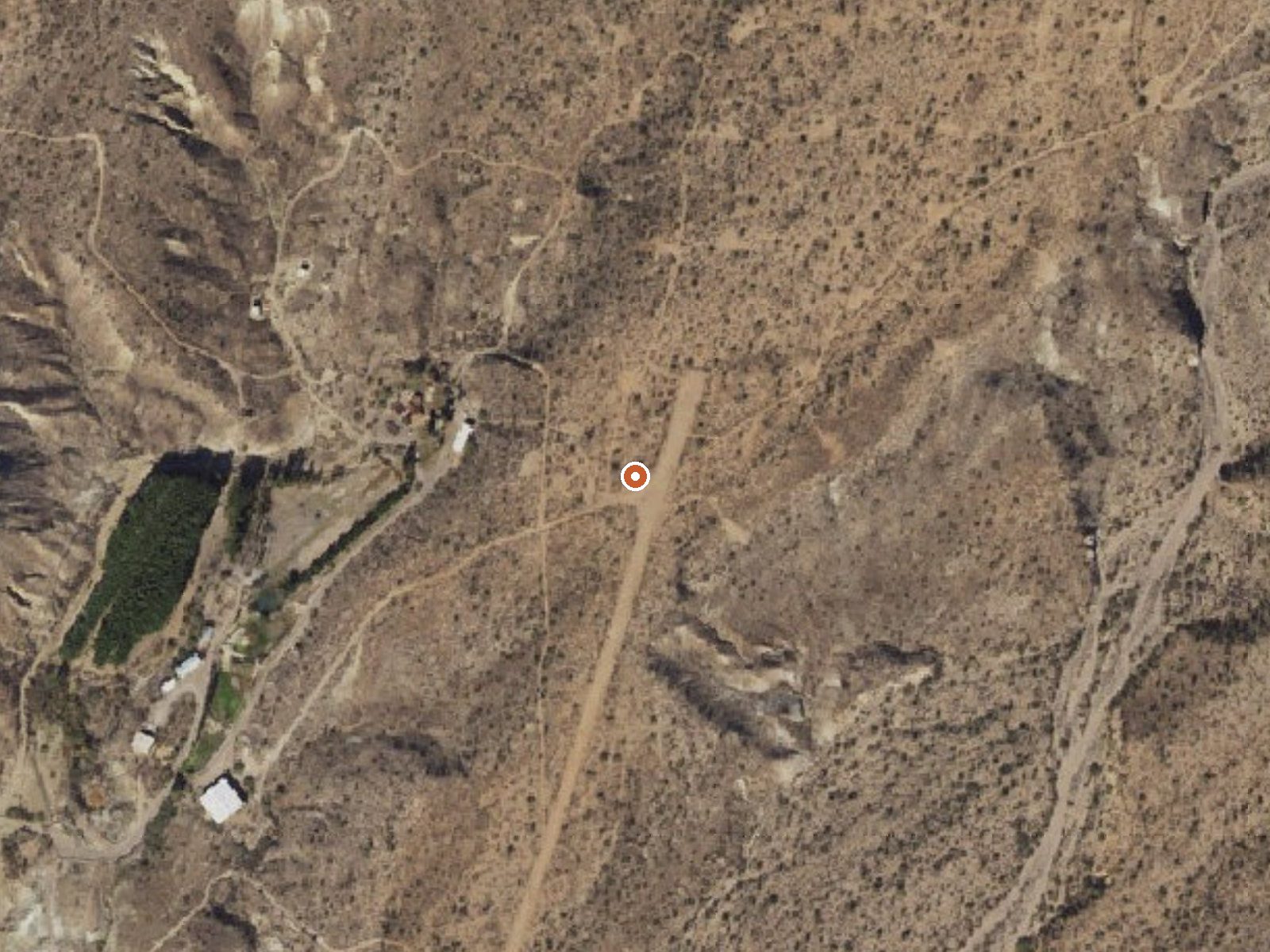
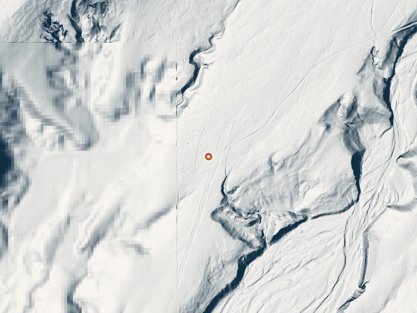
Drag the handle to compare the two views. The orange dot marks the spring, in a frame about three quarters of a mile wide.
Cofer Hot Spring comes up at body temperature or a touch above, soaking warm, beside the road in Yavapai County about twenty four miles from Bagdad. The record puts it on Bureau of Land Management ground with open access, while Wikipedia calls the springs privately owned and gives them a second name, Ha' Kamwe'. That disagreement is worth settling before a visit. A 1959 sample shows neutral water.
Twenty eight feet from the road, so roadside in every sense, though the road itself is unnamed in the record. Low desert with a low seventies annual average, where snow comes in inches when it comes at all. Rain is scarce. The Kingman Field Office of the BLM manages the surrounding public land. Burro Creek Campground is about thirteen miles off.
The stretch on file is midwinter, December through February. No walking involved. Burro Creek Campground is the listed camp. Ownership is the open question, BLM by the record and private by Wikipedia, so ask locally before treating it as public. Soaking warm water, chemistry from 1959, old enough that the source may have shifted.
Wikipedia records a Paipai name for the springs, Ha' Kamwe', and describes them as privately owned. The USGS carries a water sample from December 1959.
Aircraft with laser scanners measured this ground to within inches. The scan strips out trees and buildings, leaving the bare shape of the land around Cofer Hot Spring.
- Setting
- Open ground
- Flat, open ground all around.
- Highest ground nearby
- 38 ft above the spring
- Within a quarter mile, to the northeast
A slice through the ground from southwest to northeast, about 0.6 miles end to end.
Elevation data: USGS 3D Elevation Program. Aerial imagery: USGS The National Map. Public domain.
That's about 1½ times the US average of 65. It's higher than at 45% of the springs on this site.
Heat flow measures the warmth working its way up through the ground from deep inside the earth. Where it runs high, rain and snowmelt that seep down through cracks in the rock come back up hot.
See every spring on the geothermal heat map →
Heat flow estimate: Stanford Thermal Earth Model (Aljubran & Horne, 2024), CC BY 4.0.
The water at Cofer Hot Spring is slightly alkaline (pH 7.4). It is notably rich in chloride (natural antiseptic with skin health benefits).
Some links are affiliate links. We may earn a commission at no extra cost to you.
Overview The Burro Creek Campground (1,960’ elevation) is situated along the 57 mile Burro Creek in a transition zone between the upper reaches of the scenic Sonoran Desert and lower reaches of the scenic Mojave Desert. The campground offers visitors a variety of scenery including saguaro-studded cliffs along steep canyon walls that contrast Burro Creek’s dense vegetation and flowing waters that form deep pools of water just adjacent to the campground. The campground accepts reservations fo...
Cofer Hot Spring is road-accessible, so you can bring more gear. Bring sun protection for exposed soaking.



As an Amazon Associate, we earn from qualifying purchases.