Tom Brown Warm Spring
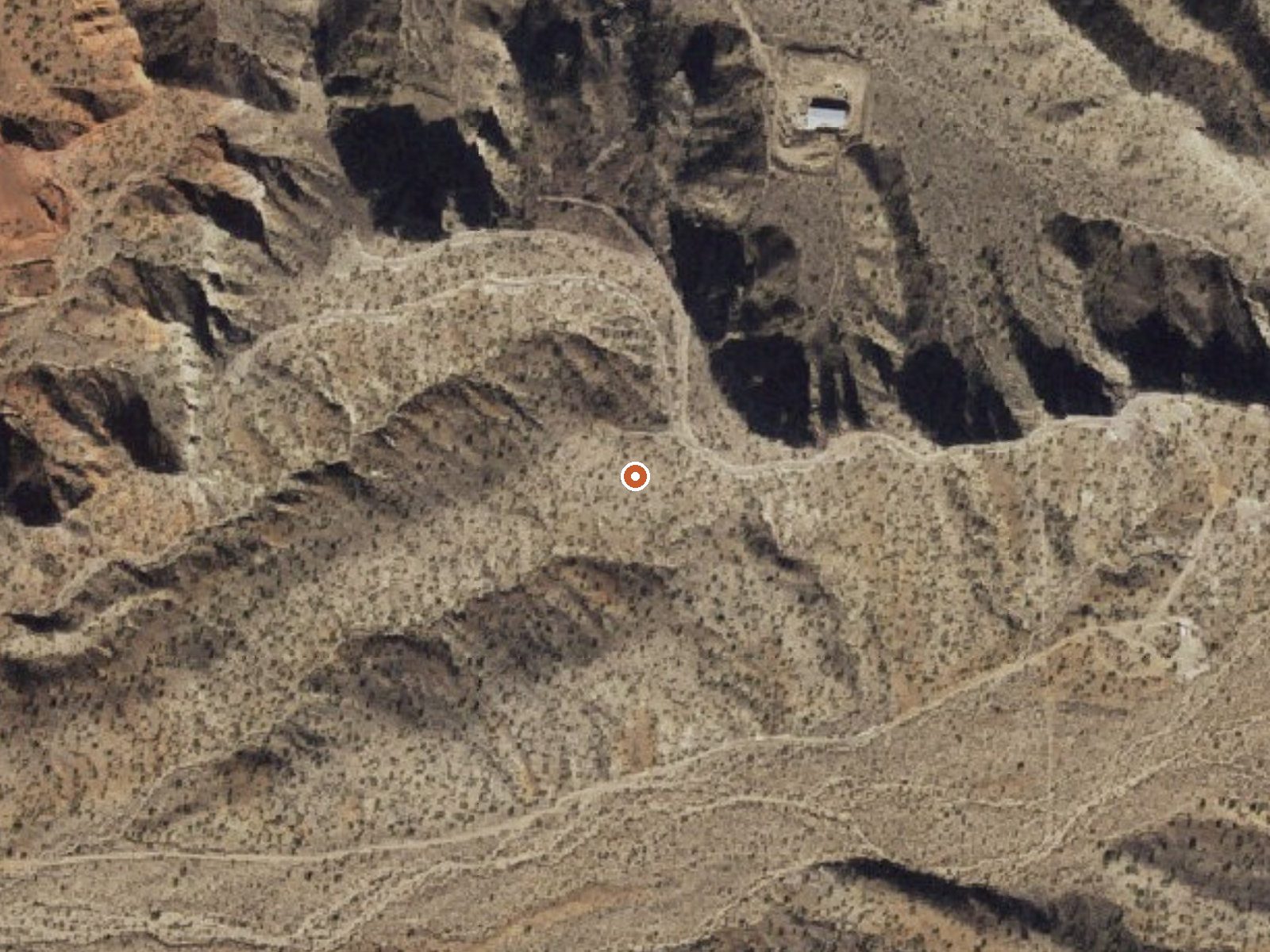
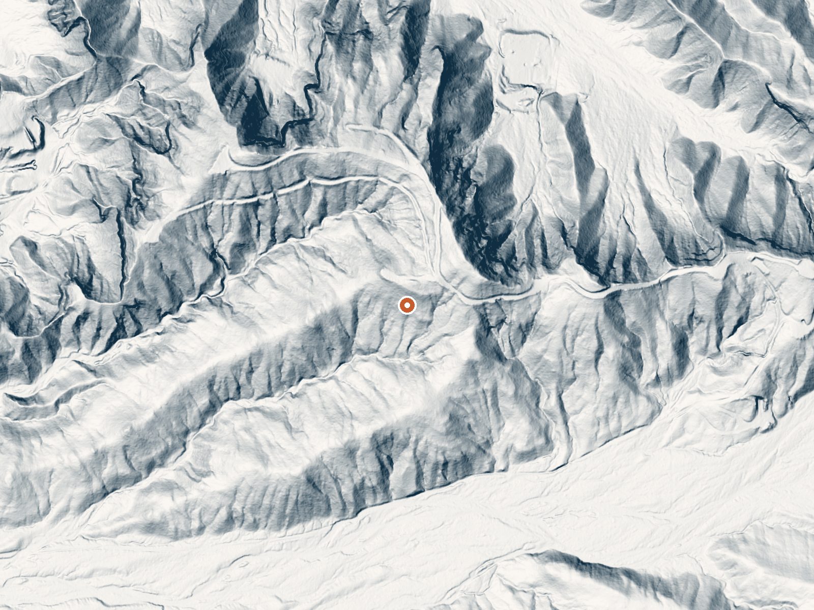
Drag the handle to compare the two views. The orange dot marks the spring, in a frame about three quarters of a mile wide.
Tom Brown Warm Spring sits thirty-odd miles from Kingman in Mohave County. The name is accurate. The water is warm, short of hot, the kind you notice on your hand. No landowner is recorded and public access is not on file, so the legal footing for a visit is unknown.
Low country at about 2,400 feet and dry, with rain around ten inches and snow around seven. The walk from the nearest road is a bit less than half a mile; the road is unnamed on file. Wild Cow Springs Campground is the camping on record, and at eighteen miles it is a long way off.
The record favors the winter months. The 1980 water sample came back near neutral with calcium, magnesium, sodium, sulfate and chloride all present. Ownership is blank, so check before going in. The nearest campground is eighteen miles away. The USGS has this on its list of thermal sites.
Aircraft with laser scanners measured this ground to within inches. The scan strips out trees and buildings, leaving the bare shape of the land around Tom Brown Warm Spring.
- Setting
- Hillside
- The spring sits on a steep slope that climbs to the northeast.
- Highest ground nearby
- 80 ft above the spring
- Within a quarter mile, to the northeast
A slice through the ground from southwest to northeast, about 0.6 miles end to end.
Elevation data: USGS 3D Elevation Program. Aerial imagery: USGS The National Map. Public domain.
That's about twice the US average of 65. It's higher than at 73% of the springs on this site.
Heat flow measures the warmth working its way up through the ground from deep inside the earth. Where it runs high, rain and snowmelt that seep down through cracks in the rock come back up hot.
See every spring on the geothermal heat map →
Heat flow estimate: Stanford Thermal Earth Model (Aljubran & Horne, 2024), CC BY 4.0.
The water at Tom Brown Warm Spring is slightly alkaline (pH 7.3).
Wild Cow Springs Campground is situated in a grove of oak and large ponderosa pines within the Hualapai Mountains, at an elevation of 6,200 ft. This site becomes especially attractive during the summer months, with temperatures here averaging 20 degrees cooler than the nearby desert valleys located over 3,000 feet below. The site has an accessible campsite and vault toilet and most camping and picnic areas have fire rings, grills, trash cans, and picnic tables.All sites are filled on a firs...