Geyser Ranch Springs
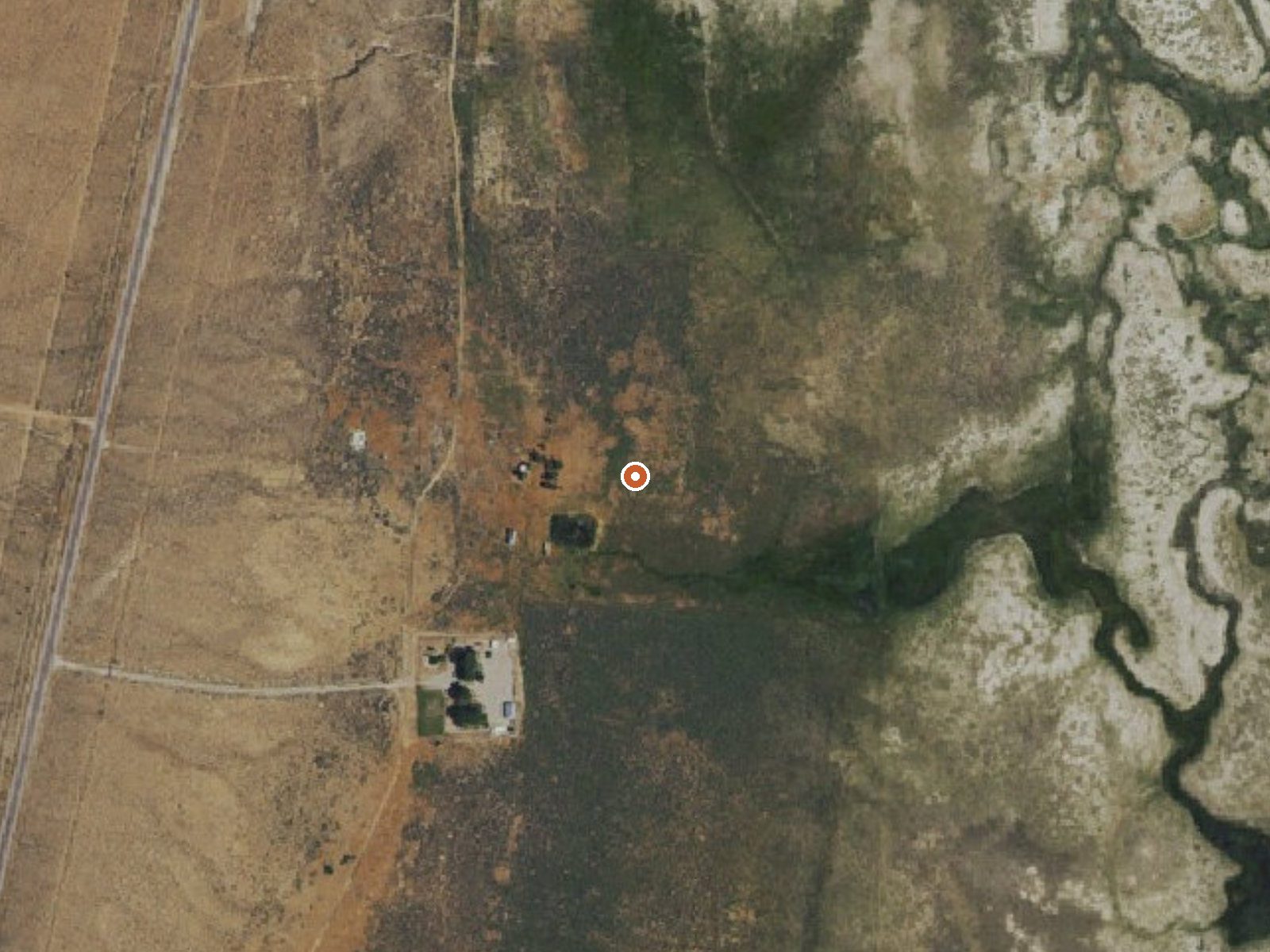
The orange dot marks the spring, in a frame about three quarters of a mile wide.
One of several thermal points recorded under the Geyser Ranch Springs name in White Pine County, this one comes out barely warmer than bathwater gone cold, around seventy degrees. Ely is the nearest town and it is a long way off, roughly forty-five miles. Neither a landowner nor an access status appears anywhere in the record. The chemistry on file dates to a spring day in 1985.
The spring sits at a little under six thousand feet in high basin country. From the nearest road it is a short walk, under five hundred feet, though the road itself has no name on file. Winters bring real snow here, close to three feet in an average year, and the annual rainfall is modest. The record carries no photo and no note on what the water does once it surfaces.
Midwinter gets the nod on the record, December through February, which seems odd for a spring this cool until you remember that seventy-degree water feels warm against snow. The vehicle stays behind for the last bit. No campground is listed and the record says nothing about a fee. The owner is unnamed, so sort out permission before you go. The temperature and pH readings are four decades old.
USGS hasn't flown a detailed laser scan here yet, so this view comes from aerial photos and older elevation data.
- Setting
- Open ground
- Flat, open ground all around.
- Highest ground nearby
- 43 ft above the spring
- Within a quarter mile, to the west
A slice through the ground from west to east, about 0.6 miles end to end.
Elevation data: USGS 3D Elevation Program. Aerial imagery: USGS The National Map. Public domain.
That's about 1½ times the US average of 65. It's higher than at 64% of the springs on this site.
Heat flow measures the warmth working its way up through the ground from deep inside the earth. Where it runs high, rain and snowmelt that seep down through cracks in the rock come back up hot.
See every spring on the geothermal heat map →
Heat flow estimate: Stanford Thermal Earth Model (Aljubran & Horne, 2024), CC BY 4.0.
The water at Geyser Ranch Springs is slightly alkaline (pH 7.5).
Some links are affiliate links. We may earn a commission at no extra cost to you.
Geyser Ranch Springs sits at 5,950 feet above sea level, way above the mile-high mark. You may not feel the altitude strongly, but hot water still dehydrates you faster at elevation. UV is about 24% stronger than at sea level, so bring sunscreen and drink more water than you normally would.



As an Amazon Associate, we earn from qualifying purchases.
Geyser Ranch Springs is road-accessible, so you can bring more gear.






As an Amazon Associate, we earn from qualifying purchases.