Lockes Big Spring, Hay Corral Spr
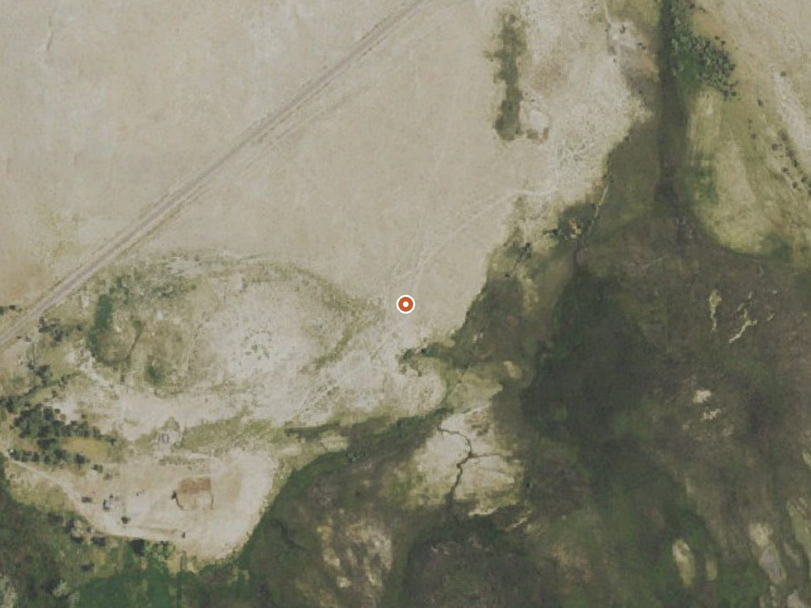
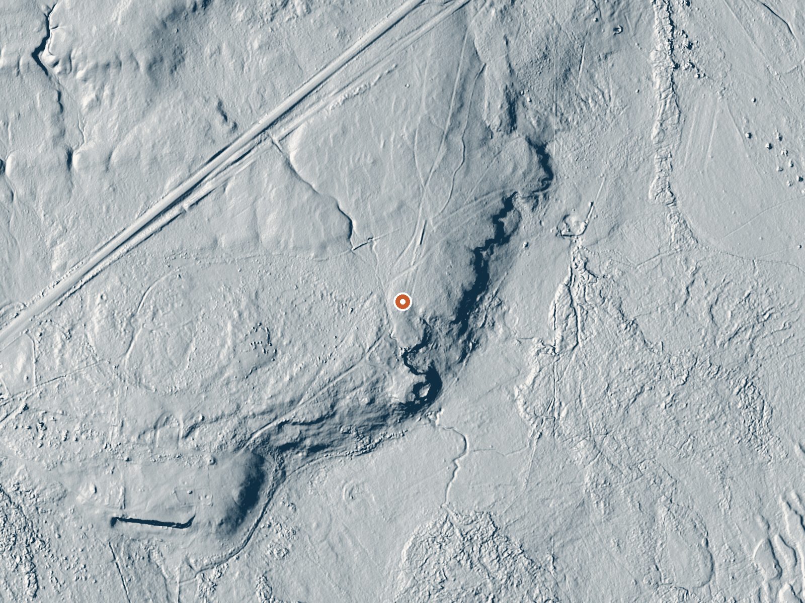
Drag the handle to compare the two views. The orange dot marks the spring, in a frame about three quarters of a mile wide.
Lockes Big Spring, which also turns up as Hay Corral Spring, is a soaking-warm spring in Eureka County on public land under the BLM's Tonopah Field Office. Water a touch above body temperature. Open access. Eureka, the nearest town in the record, is nearly seventy miles off, so this is a long way from anything.
The Grand Army of the Republic Highway runs a few hundred yards off, and from there it is a short walk. This is dry, mid-elevation basin: around six inches of rain a year and a foot or so of snow. Summers run warm and winters get cold. The land designation is plain public BLM, with no special status attached.
Warm water at this temperature is comfortable in cold weather, and December to February are the months on file. Access is open. No campground is listed within range in the record, and no fee. Bring everything you need, because the nearest listed town is a long way back, and nothing on file says what is out there.
Aircraft with laser scanners measured this ground to within inches. The scan strips out trees and buildings, leaving the bare shape of the land around Lockes Big Spring, Hay Corral Spr.
- Setting
- Open ground
- Flat, open ground all around.
- Highest ground nearby
- 24 ft above the spring
- Within a quarter mile, to the northwest
A slice through the ground from northwest to southeast, about 0.6 miles end to end.
Elevation data: USGS 3D Elevation Program. Aerial imagery: USGS The National Map. Public domain.
That's about 1½ times the US average of 65. It's higher than at 32% of the springs on this site.
Heat flow measures the warmth working its way up through the ground from deep inside the earth. Where it runs high, rain and snowmelt that seep down through cracks in the rock come back up hot.
See every spring on the geothermal heat map →
Heat flow estimate: Stanford Thermal Earth Model (Aljubran & Horne, 2024), CC BY 4.0.