Senator Fumaroles
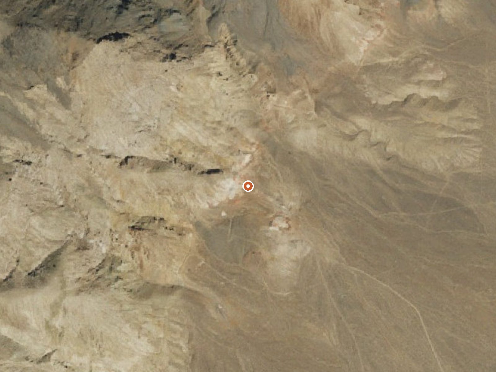
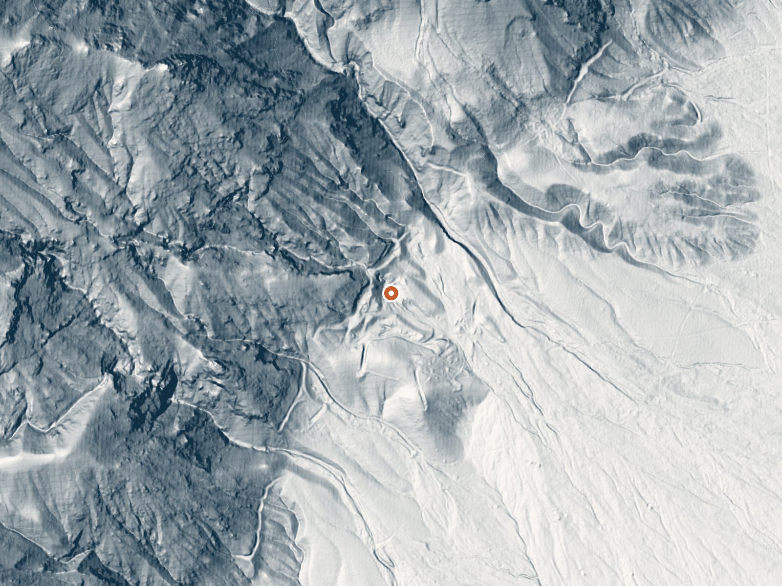
Drag the handle to compare the two views. The orange dot marks the spring, in a frame about three quarters of a mile wide.
Senator Fumaroles are steam vents. The record calls them boiling and gives no water temperature, which is what you would expect from a fumarole: hot gas venting out of the ground with no pool to sit in. They are on open BLM land in Pershing County, thirty-some miles from Lovelock.
Stillwater Field Office land, a hundred or so feet from whatever road passes closest. That road has no name on file. Low desert basin elevation. Snow is light here, and the whole year brings around nine inches of moisture. Nothing in the record describes the ground around the vents.
There is no temperature on file and no best-month listing, so pick your own season; summer heat in this basin is the thing to avoid. Anything called boiling deserves distance. Steam at that temperature burns. Fees and camping go unmentioned, and no water chemistry was ever logged. The ground is open BLM.
Aircraft with laser scanners measured this ground to within inches. The scan strips out trees and buildings, leaving the bare shape of the land around Senator Fumaroles.
- Setting
- Hillside
- The spring sits on a steep slope that climbs to the northwest.
- Highest ground nearby
- 712 ft above the spring
- Within a quarter mile, to the northwest
A slice through the ground from northwest to southeast, about 0.6 miles end to end.
Elevation data: USGS 3D Elevation Program. Aerial imagery: USGS The National Map. Public domain.
That's about twice the US average of 65. It's higher than at 68% of the springs on this site.
Heat flow measures the warmth working its way up through the ground from deep inside the earth. Where it runs high, rain and snowmelt that seep down through cracks in the rock come back up hot.
See every spring on the geothermal heat map →
Heat flow estimate: Stanford Thermal Earth Model (Aljubran & Horne, 2024), CC BY 4.0.