Springs
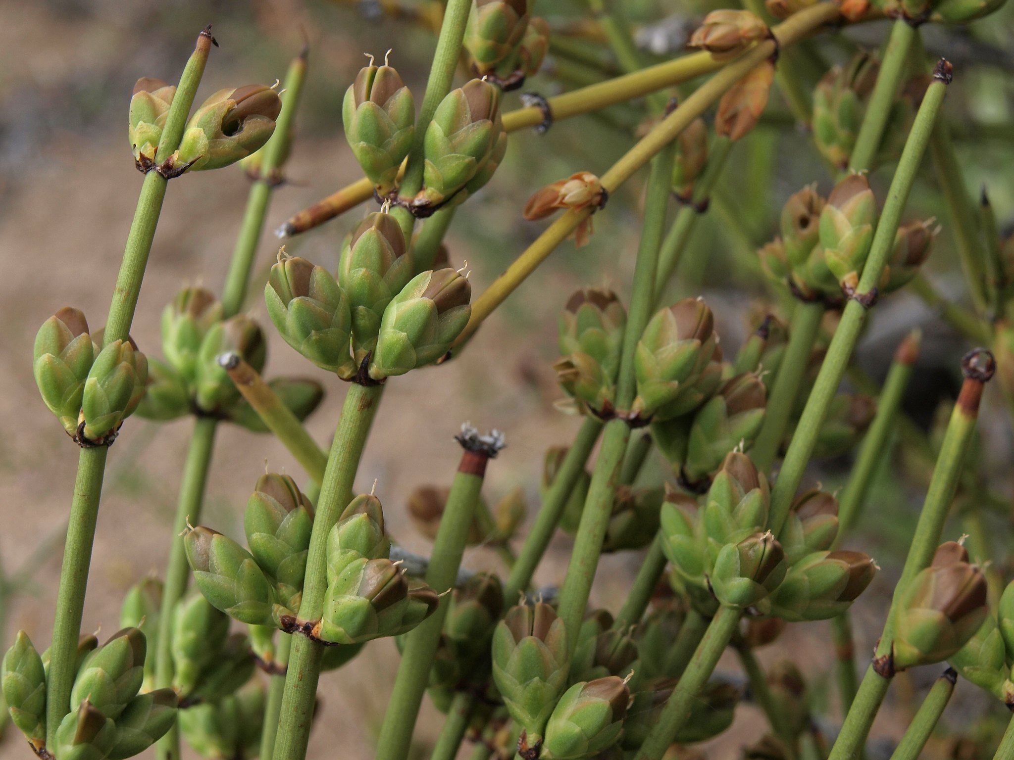
A single word, Springs, is all the USGS gave this thermal point a mile and a half from Indian Hills in Douglas County. The water comes out right at the edge of soaking warmth, about like a lukewarm bath. No landowner is logged, and nothing says whether you may walk onto the ground. Washoe Springs Road passes close by, which makes the ownership question a practical one.
Under four hundred feet on foot from Washoe Springs Road. This is the wetter end of Nevada, where snow can pile up around six feet over a winter and precipitation reaches roughly twenty inches in a year. Who holds the land has never been set down, and it carries no designation.
The cold months rate best on the record, and with this much snow a winter visit likely means snow on the ground near the road. The nearest camping listed is Zephyr Cove RV & Campground, under ten miles off. Access class is a short walk. Ownership and permission are blank, so find out who controls the ground before you go. No chemistry or fee is on record.
Aircraft with laser scanners measured this ground to within inches. The scan strips out trees and buildings, leaving the bare shape of the land around Springs.
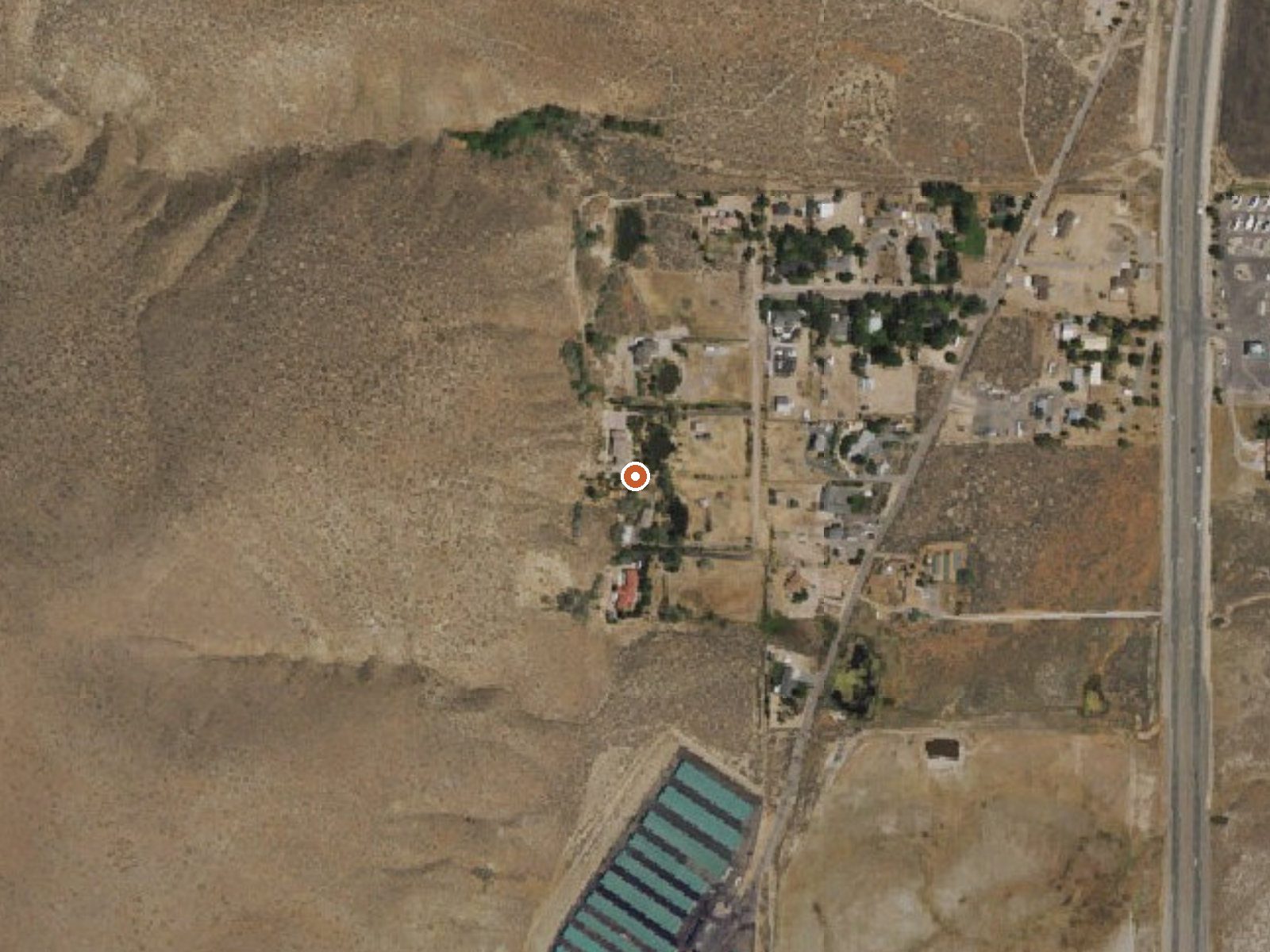
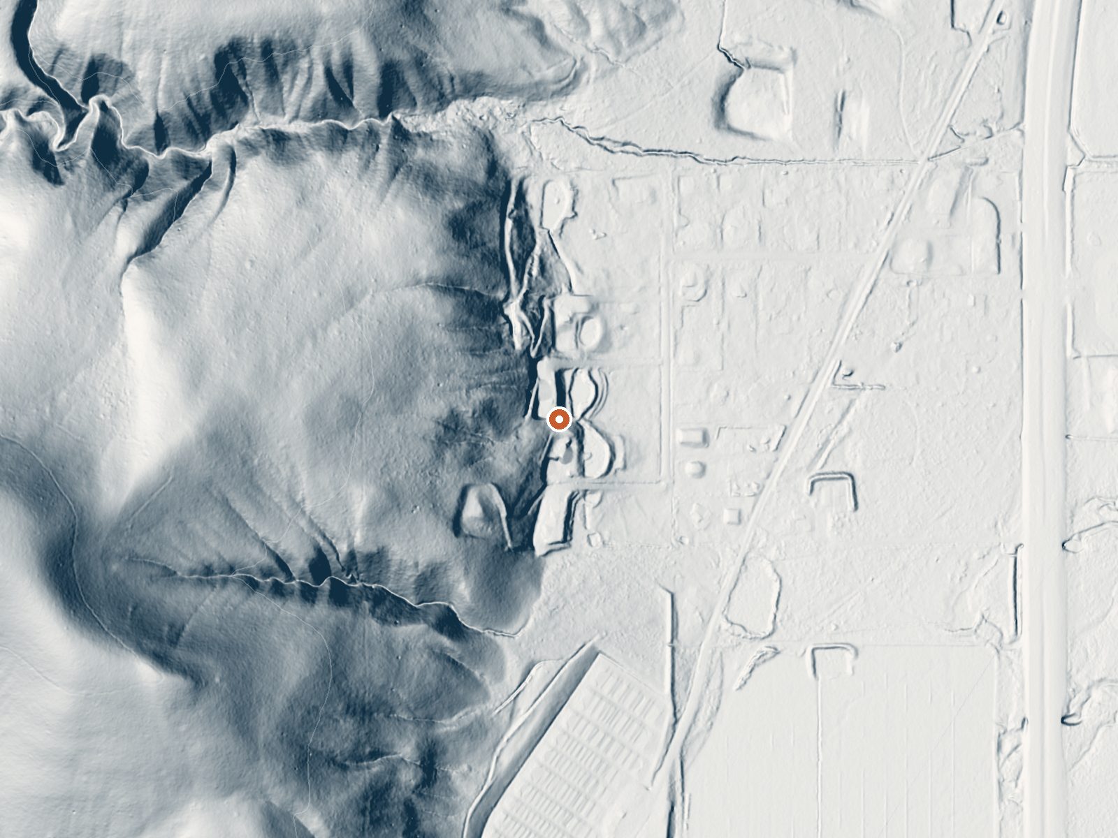
Drag the handle to compare the two views. The orange dot marks the spring, in a frame about three quarters of a mile wide.
- Setting
- Hillside
- The spring sits on a steep slope that climbs to the west.
- Highest ground nearby
- 328 ft above the spring
- Within a quarter mile, to the west
A slice through the ground from northwest to southeast, about 0.6 miles end to end.
Elevation data: USGS 3D Elevation Program. Aerial imagery: USGS The National Map. Public domain.
That's about twice the US average of 65. It's higher than at 67% of the springs on this site.
Heat flow measures the warmth working its way up through the ground from deep inside the earth. Where it runs high, rain and snowmelt that seep down through cracks in the rock come back up hot.
See every spring on the geothermal heat map →
Heat flow estimate: Stanford Thermal Earth Model (Aljubran & Horne, 2024), CC BY 4.0.
Some links are affiliate links. We may earn a commission at no extra cost to you.
Overview Lake Tahoe is one of the most stunning destinations on the planet, making it a top choice for outdoor enthusiasts who enjoy RV cruising and camping. Zephyr Cove Resort's award-winning RV Park & Campground provides the perfect balance of modern amenities and the peaceful charm of a beautiful wooded setting. A major advantage of staying at Zephyr Cove Resort's RV Park & Campground is its prime location on the southeast shore of Lake Tahoe, just a short stroll from the Zephyr Cove Resta...
Springs is road-accessible, so you can bring more gear.






As an Amazon Associate, we earn from qualifying purchases.
Springs Near Springs
More Springs Around 90°F
Hike 6 waterfalls near Springs
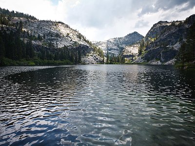
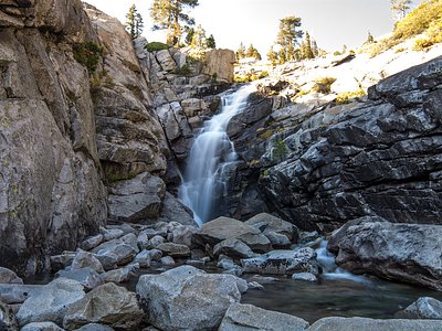
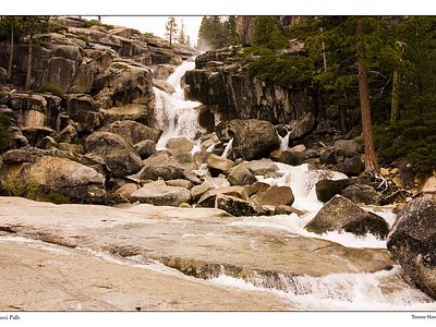
Looking for more outdoor adventures? Explore waterfall hikes near Springs, Nevada.