Nevada State Prison Spring
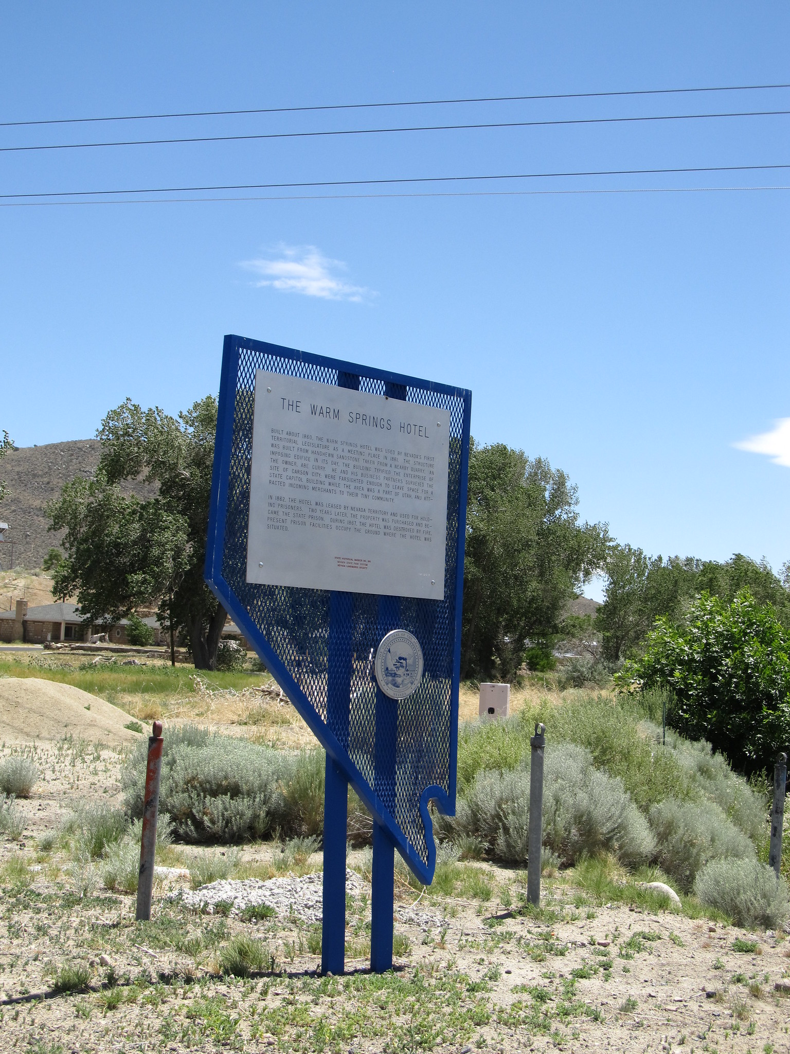
This spring is on the grounds of the Nevada State Maximum Security Prison in Carson City, less than a mile out from Carson City, and the record marks public access closed. The water is tepid. You cannot visit. It is here because the USGS records it and because the linked Wikipedia article on Carson Hot Springs describes the same valley.
Roadside, some 165 feet off the road, on state land held by the prison. Carson City sits at middling elevation, with a wet, snowy winter by Nevada standards, about five feet of snow most years and eighteen inches of precipitation. The land designation in the record is a state code, and the land unit is the prison itself, so the ground is state property with a very specific use.
Do not try. The site is closed to the public and sits on prison property. If the Carson Hot Springs article is what brought you here, note that it describes pools fed by pumped spring water, and that this record does not tell you where those pools are in relation to the prison spring. Mount Rose campground is about fourteen miles away for anyone in the area.
The Wikipedia article linked to this record describes Carson Hot Springs, in the Eagle Valley at Carson City, the largest hot spring there. It emits around sixty gallons a minute of water at 120 degrees, groundwater rising from more than six miles down, and the pools at the site are filled by pumping from the spring. The article may describe this particular prison-ground spring, or it may describe a neighbor; the record does not settle it, and the temperatures differ.
Aircraft with laser scanners measured this ground to within inches. The scan strips out trees and buildings, leaving the bare shape of the land around Nevada State Prison Spring.
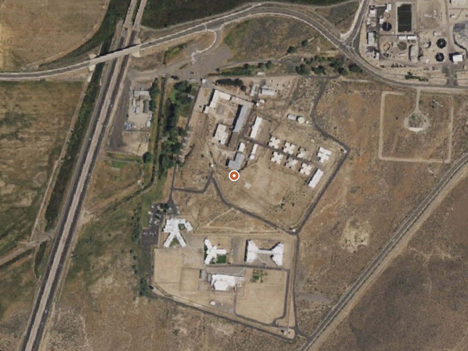
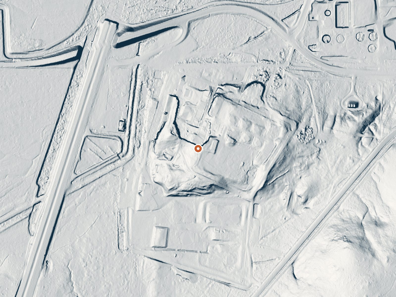
Drag the handle to compare the two views. The orange dot marks the spring, in a frame about three quarters of a mile wide.
- Setting
- Open ground
- Flat, open ground all around.
- Highest ground nearby
- 4 ft above the spring
- Within a quarter mile, to the east
A slice through the ground from west to east, about 0.6 miles end to end.
Elevation data: USGS 3D Elevation Program. Aerial imagery: USGS The National Map. Public domain.
That's about twice the US average of 65. It's higher than at 82% of the springs on this site.
Heat flow measures the warmth working its way up through the ground from deep inside the earth. Where it runs high, rain and snowmelt that seep down through cracks in the rock come back up hot.
See every spring on the geothermal heat map →
Heat flow estimate: Stanford Thermal Earth Model (Aljubran & Horne, 2024), CC BY 4.0.
Some links are affiliate links. We may earn a commission at no extra cost to you.
Overview Mount Rose Campground is conveniently located between Reno and Lake Tahoe just off scenic Mount Rose Highway. Visitors love the campground for its proximity to excellent hiking trails and recreational opportunities at Lake Tahoe.Recreation Hiking is the most popular pastime at Mount Rose. Several trails, including the Tahoe Meadows, Tahoe Rim, Mount Rose Wilderness and Mount Rose Summit Trails, begin very close to the campground.Facilities Mount Rose contains single and double-family...
Nevada State Prison Spring is road-accessible, so you can bring more gear.






As an Amazon Associate, we earn from qualifying purchases.
Springs Near Nevada State Prison Spring
More Springs Around 75°F
Hike 6 waterfalls near Nevada State Prison Spring
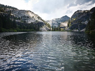
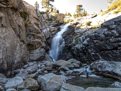
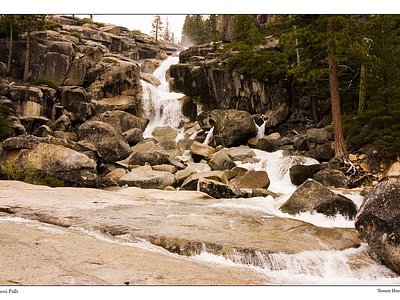
Looking for more outdoor adventures? Explore waterfall hikes near Nevada State Prison Spring, Nevada.