Unnamed Thermal Spring
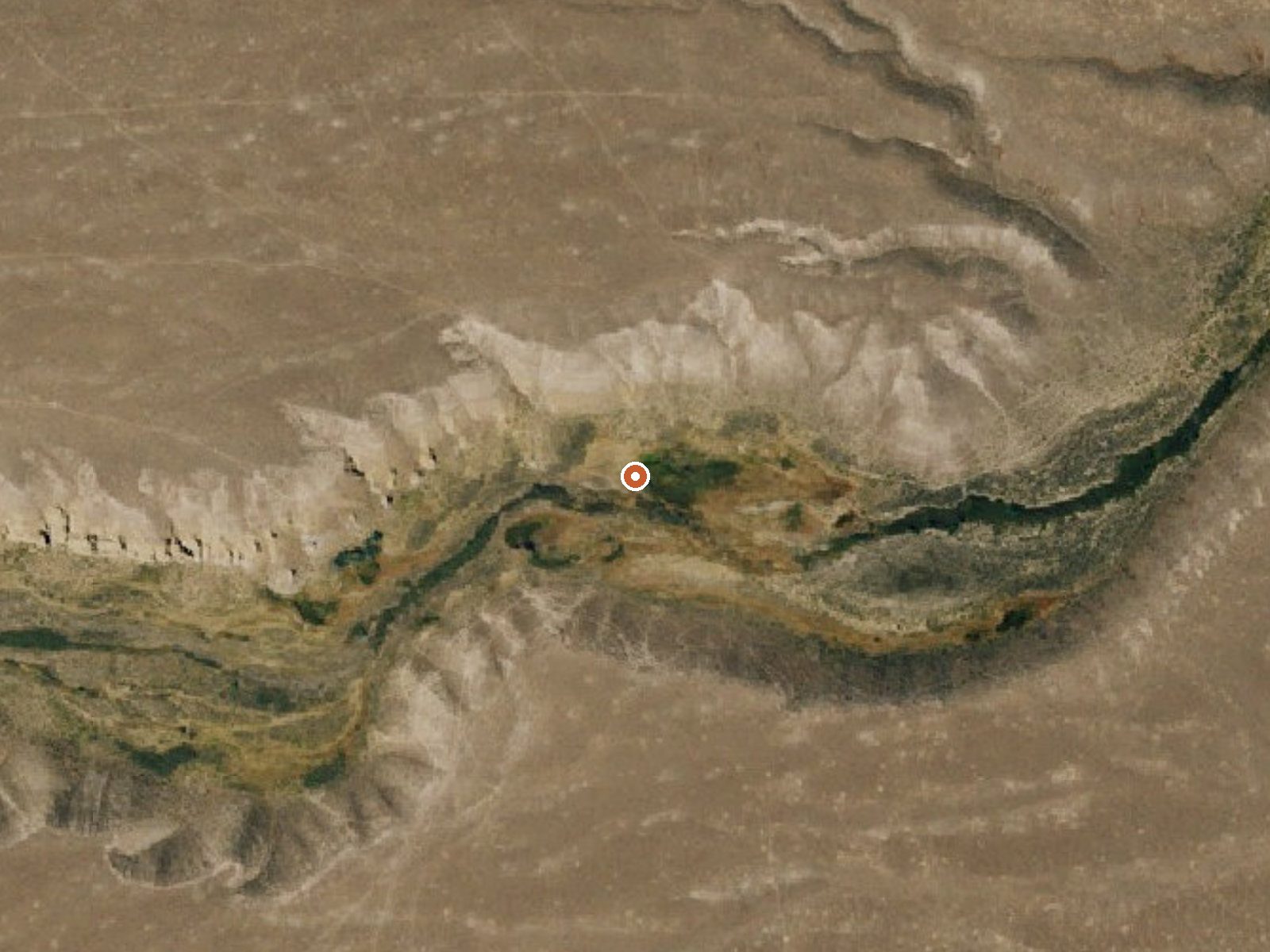
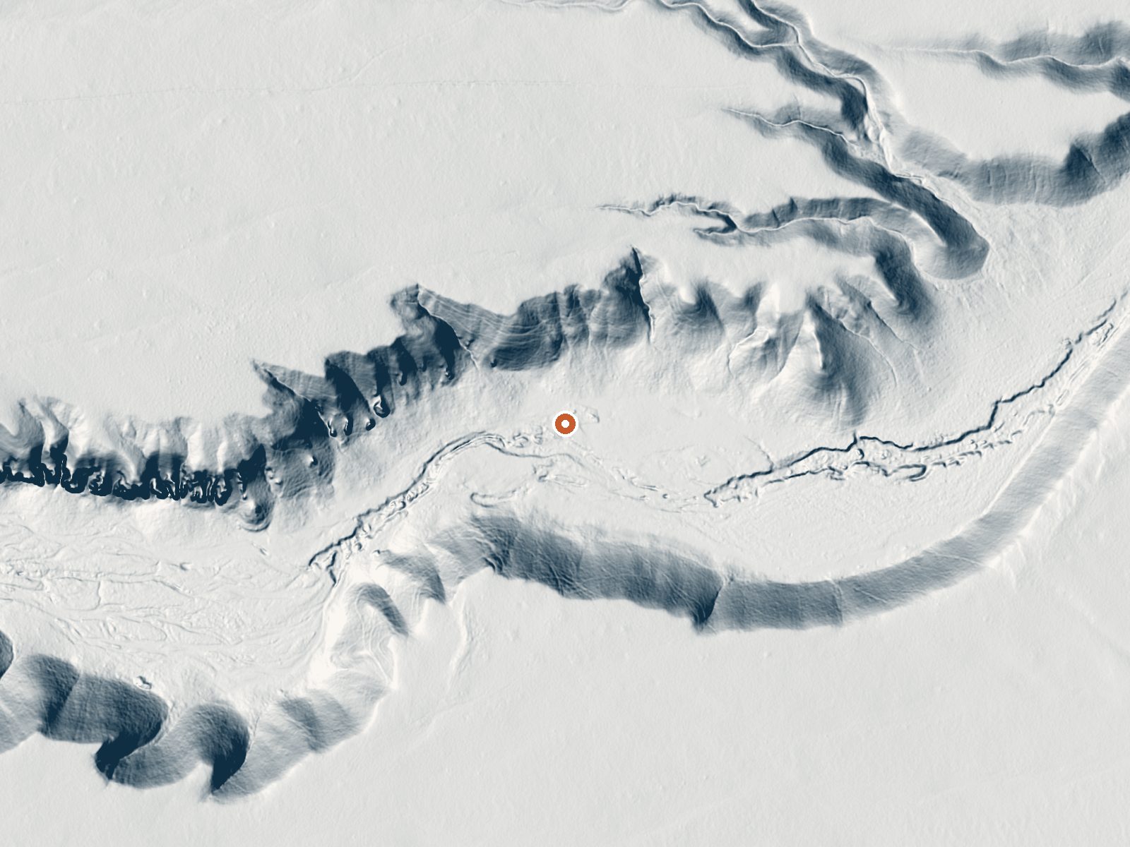
Drag the handle to compare the two views. The orange dot marks the spring, in a frame about three quarters of a mile wide.
Five miles or so from Alturas, this unnamed Modoc County thermal point barely qualifies as warm, running in the low seventies. BLM ground, Black Rock Field Office, listed open. The one water measurement on record, dissolved solids from a spring 1980 sample, came back low, so this is fairly fresh water that happens to be a bit above ground temperature.
The road is close, a hundred and thirty feet give or take, and unnamed in the record. Elevation moderate. Snow runs a bit over two feet a winter, precipitation about ten inches a year, so dry summers and cold white winters. No campground shows up on file, and the BLM land carries no special designation.
Winter gets the top rating on the record, though the water will not warm anyone on a cold day. Roadside, so no walking. A fee? None recorded. The dissolved solids number is from 1980 and no pH was ever measured. Ask the Black Rock Field Office if you need more than the word open.
Aircraft with laser scanners measured this ground to within inches. The scan strips out trees and buildings, leaving the bare shape of the land around this spring.
- Setting
- Valley floor
- Gentle slopes rise on both sides.
- Highest ground nearby
- 138 ft above the spring
- Within a quarter mile, to the northwest
A slice through the ground from northwest to southeast, about 0.6 miles end to end.
Elevation data: USGS 3D Elevation Program. Aerial imagery: USGS The National Map. Public domain.
That's about 1½ times the US average of 65. It's higher than at 61% of the springs on this site.
Heat flow measures the warmth working its way up through the ground from deep inside the earth. Where it runs high, rain and snowmelt that seep down through cracks in the rock come back up hot.
See every spring on the geothermal heat map →
Heat flow estimate: Stanford Thermal Earth Model (Aljubran & Horne, 2024), CC BY 4.0.
The water at This spring contains 231 mg/L total dissolved solids.