Springs
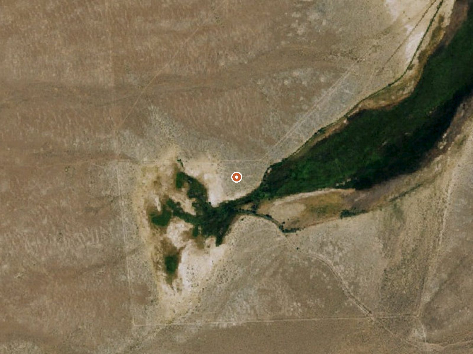
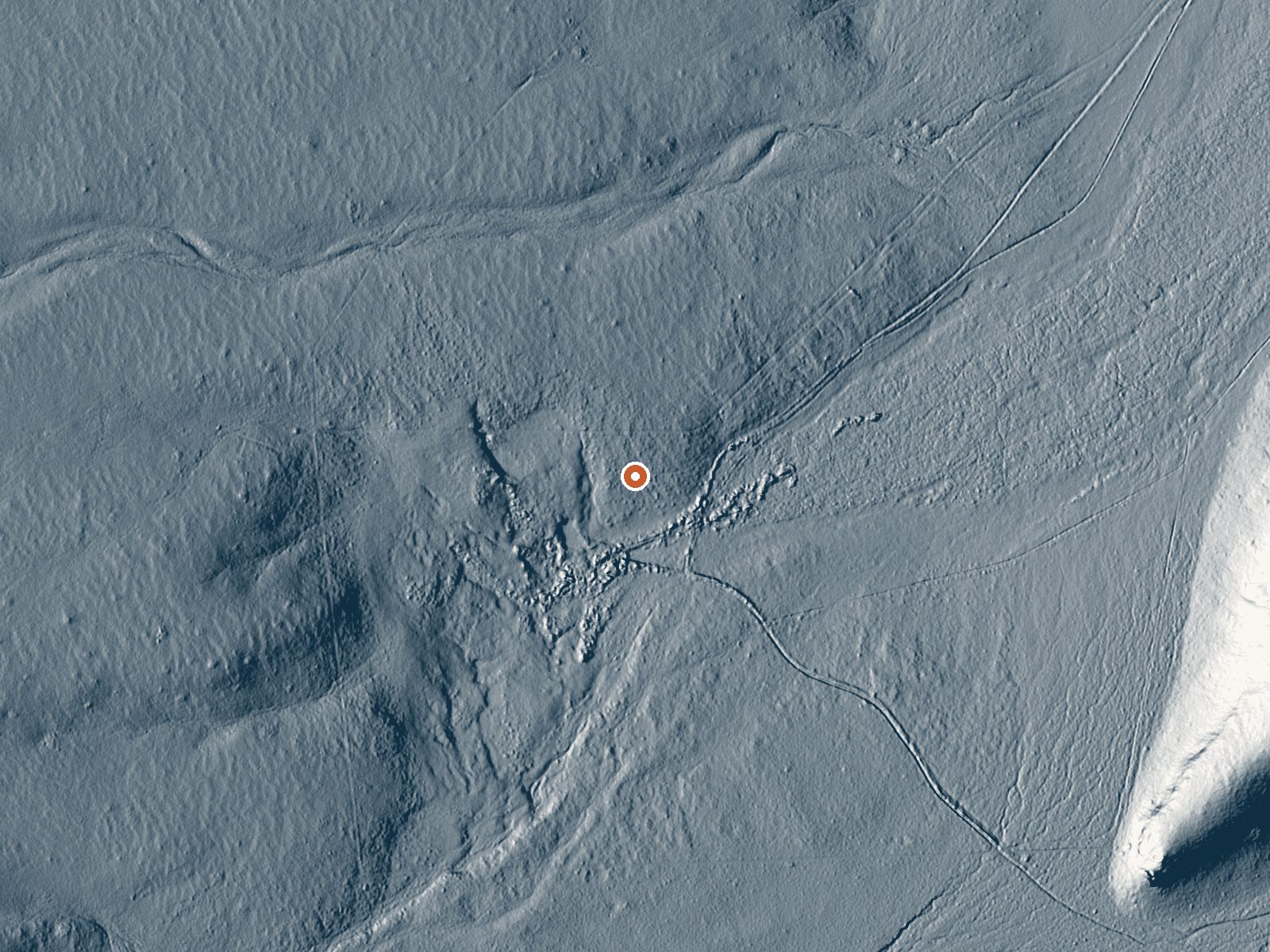
Drag the handle to compare the two views. The orange dot marks the spring, in a frame about three quarters of a mile wide.
About six miles from Alturas, a thermal point named only Springs gives a tepid reading, a few degrees short of what most people would call warm enough. It is close to a road. Ownership is unrecorded. So is public access. A USGS site number is attached, and no second name is known. One water measurement exists, taken in 1980, and nothing newer.
The road sits about 140 feet away. No name for it on file, no landowner either. Middling elevation. Snowfall tops two feet most winters and the year is dry overall. The record lists Modoc County, with Alturas the nearest town.
On file, the best stretch runs December into February. The water's dissolved solids were measured once, in May 1980, and came out low. Nothing since. You can reach it from the roadside; there is no fee or campground in the record. Unrecorded ownership means you check before you go. No photograph has been filed.
Aircraft with laser scanners measured this ground to within inches. The scan strips out trees and buildings, leaving the bare shape of the land around Springs.
- Setting
- Open ground
- Flat, open ground all around.
- Highest ground nearby
- 39 ft above the spring
- Within a quarter mile, to the west
A slice through the ground from west to east, about 0.6 miles end to end.
Elevation data: USGS 3D Elevation Program. Aerial imagery: USGS The National Map. Public domain.
That's about 1½ times the US average of 65. It's higher than at 64% of the springs on this site.
Heat flow measures the warmth working its way up through the ground from deep inside the earth. Where it runs high, rain and snowmelt that seep down through cracks in the rock come back up hot.
See every spring on the geothermal heat map →
Heat flow estimate: Stanford Thermal Earth Model (Aljubran & Horne, 2024), CC BY 4.0.
The water at Springs contains 211 mg/L total dissolved solids.