Springs
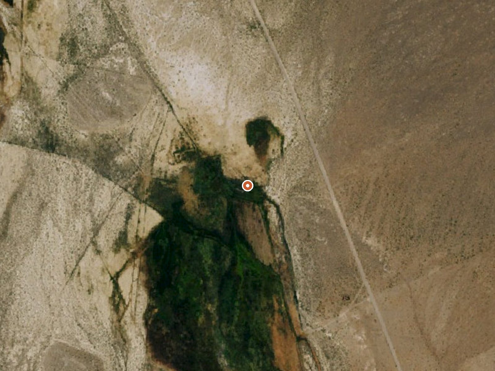
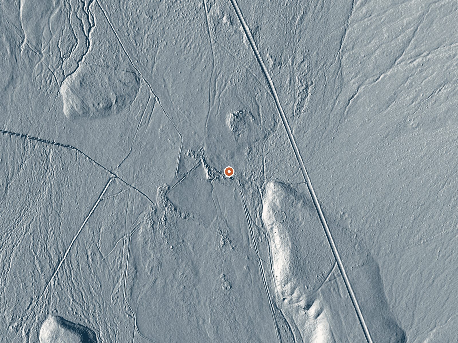
Drag the handle to compare the two views. The orange dot marks the spring, in a frame about three quarters of a mile wide.
Nearly ninety miles from Lovelock, in the far reaches of Pershing County, a roadside thermal point called Springs comes up warm and neutral. Black Rock Field Office BLM ground, open to the public. A September 2020 water sample is on file, which is recent by the standards of Nevada thermal records, and it gives this point more documentation than most.
The spring sits practically at the road's edge. Which road, the record does not say. Open BLM land in dry country with winter snow you would measure in feet, about two of them. The nearest city on record is Lovelock, and that is a serious drive. Moderate elevation.
Go when it is cold; that is what the record says. Access is roadside. Fees and camping go unmentioned. The 2020 sample found near-neutral pH and low dissolved solids, with the usual major ions measured: calcium, magnesium, sodium, sulfate, chloride. No photograph is attached.
Aircraft with laser scanners measured this ground to within inches. The scan strips out trees and buildings, leaving the bare shape of the land around Springs.
- Setting
- Open ground
- Flat, open ground all around.
- Highest ground nearby
- 15 ft above the spring
- Within a quarter mile, to the northeast
A slice through the ground from south to north, about 0.6 miles end to end.
Elevation data: USGS 3D Elevation Program. Aerial imagery: USGS The National Map. Public domain.
That's about twice the US average of 65. It's higher than at 72% of the springs on this site.
Heat flow measures the warmth working its way up through the ground from deep inside the earth. Where it runs high, rain and snowmelt that seep down through cracks in the rock come back up hot.
See every spring on the geothermal heat map →
Heat flow estimate: Stanford Thermal Earth Model (Aljubran & Horne, 2024), CC BY 4.0.
The water at Springs is neutral (pH 7.2) with 216 mg/L total dissolved solids.