Montezuma Hot Springs
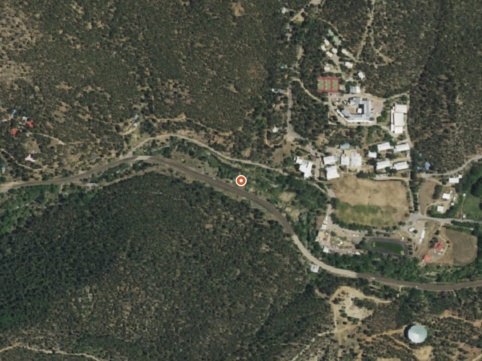
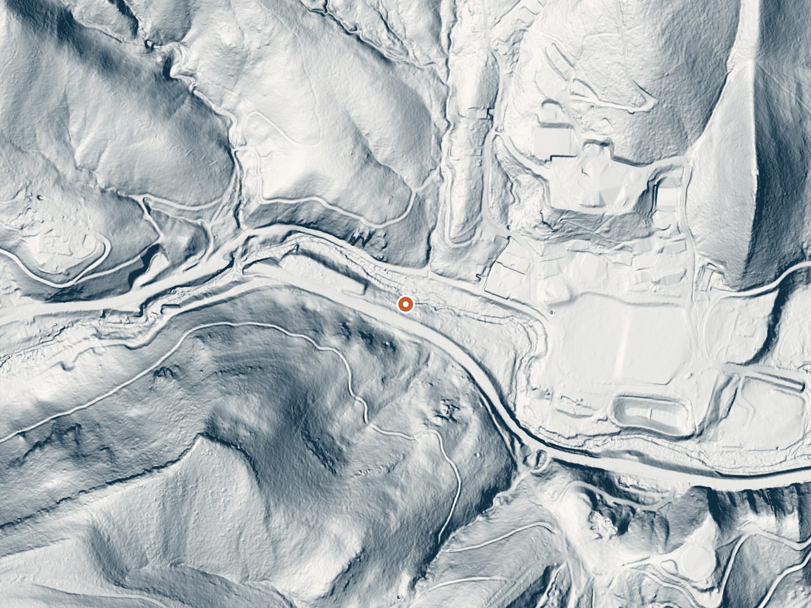
Drag the handle to compare the two views. The orange dot marks the spring, in a frame about three quarters of a mile wide.
This is a listing for Montezuma Hot Springs, a grouping of somewhere between twenty and thirty thermal springs in the unincorporated community of Montezuma, about five miles from Las Vegas in San Miguel County. No temperature is recorded for this point. Montezuma Street runs within thirty yards. The entry skips ownership and access entirely. OpenStreetMap carries the same name.
Roadside, practically, with Montezuma Street a few dozen steps away. The community sits at high elevation. Winters are snowy and the year is fairly wet. Johnson Mesa Campground, around eleven miles off, is the nearest on record. No land unit, no fee noted. There is no photo for this entry.
No best months are flagged for this listing. With the snow totals here, roads are easier after the thaw. With the temperature missing you cannot tell from this entry which of the springs is safe to enter, so test every pool. Check locally on ownership. Johnson Mesa is the camp to know about.
Wikipedia also calls these the Las Vegas Hot Springs and counts twenty to thirty thermal springs in the group, all within the Montezuma community near Las Vegas, New Mexico.
The turreted Montezuma Hotel has looked down on the hot springs outside Las Vegas, New Mexico, since 1886. These days it's the main building of the United World College.
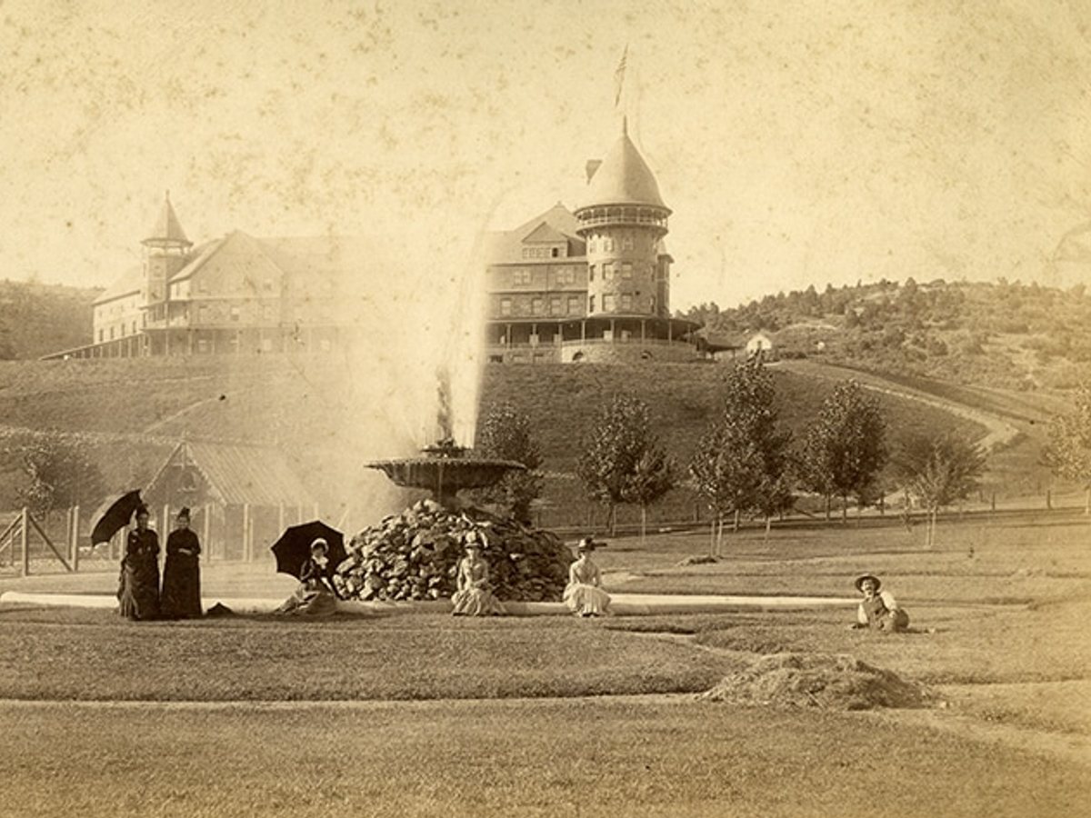
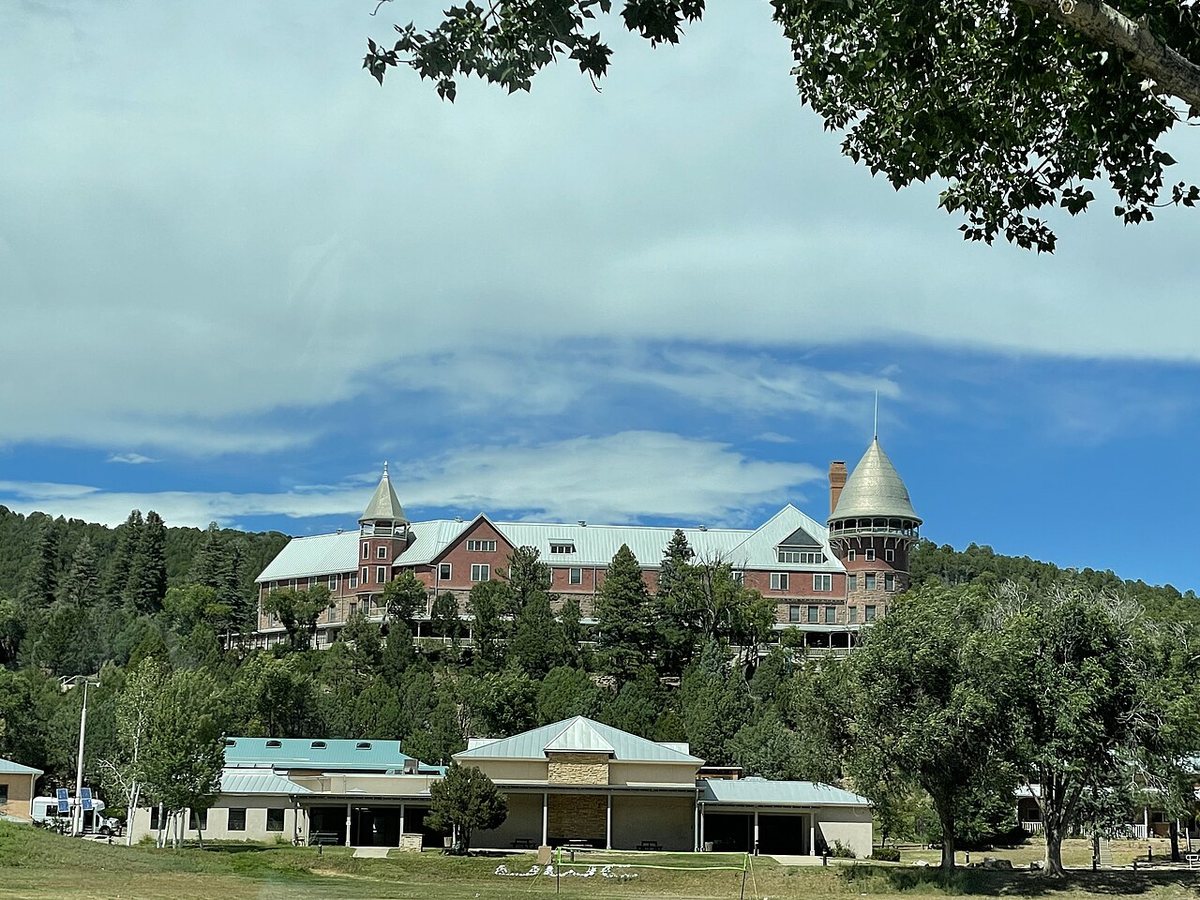
Drag to compare.
1888: Dana B. Chase, public domain. 2021: Shari Garland, CC BY-SA 4.0.
Aircraft with laser scanners measured this ground to within inches. The scan strips out trees and buildings, leaving the bare shape of the land around Montezuma Hot Springs.
- Setting
- Hillside
- The spring sits on a steep slope that climbs to the southwest.
- Highest ground nearby
- 358 ft above the spring
- Within a quarter mile, to the southwest
A slice through the ground from west to east, about 0.6 miles end to end.
Elevation data: USGS 3D Elevation Program. Aerial imagery: USGS The National Map. Public domain.
That's about 1½ times the US average of 65. It's higher than at 54% of the springs on this site.
Heat flow measures the warmth working its way up through the ground from deep inside the earth. Where it runs high, rain and snowmelt that seep down through cracks in the rock come back up hot.
See every spring on the geothermal heat map →
Heat flow estimate: Stanford Thermal Earth Model (Aljubran & Horne, 2024), CC BY 4.0.
Some links are affiliate links. We may earn a commission at no extra cost to you.
Johnson's Mesa is a dispersed camping area located east of Las Vegas on NM 65 and FR 153. Facilities: vaulted toilets, tables and grills.
Montezuma Hot Springs sits at 6,729 feet above sea level, way above the mile-high mark. You may not feel the altitude strongly, but hot water still dehydrates you faster at elevation. UV is about 27% stronger than at sea level, so bring sunscreen and drink more water than you normally would.



As an Amazon Associate, we earn from qualifying purchases.
Montezuma Hot Springs is road-accessible, so you can bring more gear.






As an Amazon Associate, we earn from qualifying purchases.
Springs Near Montezuma Hot Springs
Hike 3 waterfalls near Montezuma Hot Springs
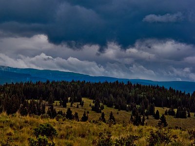
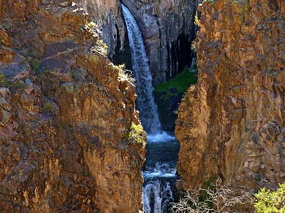
Looking for more outdoor adventures? Explore waterfall hikes near Montezuma Hot Springs, New Mexico.