Bagby Hot Springs
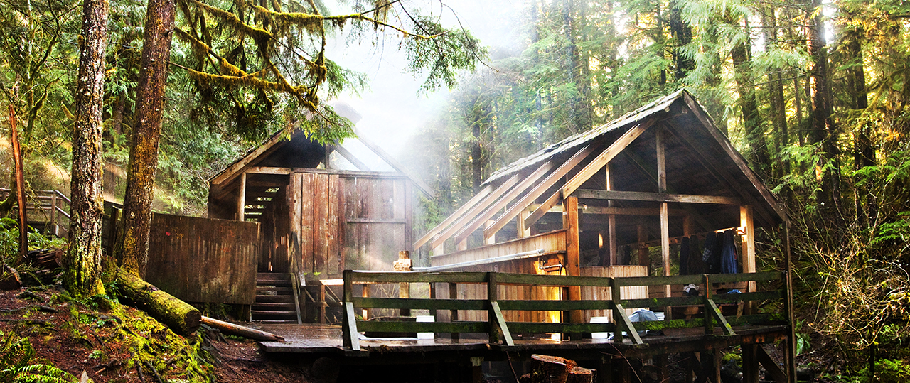
Bagby Hot Springs sits on the Mt. Hood National Forest, filed under Linn County, with Mill City about twenty miles away as the nearest town. The water comes out hot, hotter than you would want to sit in straight, in the range where it needs cooling before a soak. The Forest Service lists access as open.
From Forest Road 70 it is a walk of about three quarters of a mile. Wikipedia describes heavily forested Cascade country. This is one of the wetter places on the list, close to eighty inches of precipitation, and the winters still bring a lot of snow despite the modest elevation. Kingfisher campground is the nearest one on file, around five miles away.
The record's best months are the dead of winter, which with this snowfall means checking whether Forest Road 70 is drivable before you commit. At source the water is hot enough to hurt, so test it before you get in. Camping at Kingfisher is the nearest option listed. No fee is recorded.
Wikipedia places the springs about 67 miles southeast of Portland and 98 miles east of Salem, in the Cascade Mountains, a little outside the boundary of the Bull of the Woods Wilderness. The USGS carries the site in its thermal spring inventory.
USGS hasn't flown a detailed laser scan here yet, so this view comes from aerial photos and older elevation data.
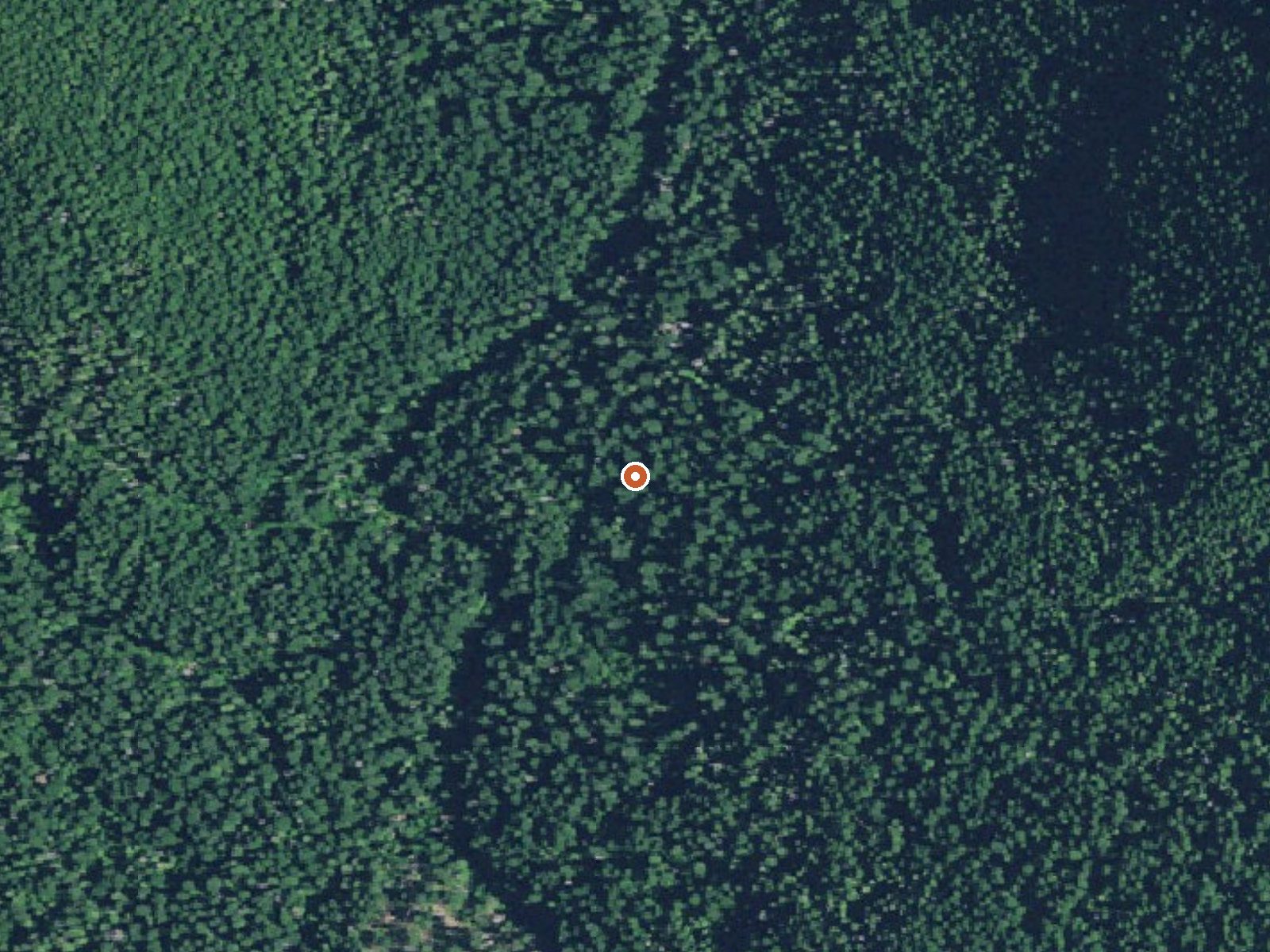
The orange dot marks the spring, in a frame about three quarters of a mile wide.
- Setting
- Canyon floor
- Steep ground climbs away on both sides of the spring.
- Highest ground nearby
- 336 ft above the spring
- Within a quarter mile, to the east
A slice through the ground from northwest to southeast, about 0.6 miles end to end.
Elevation data: USGS 3D Elevation Program. Aerial imagery: USGS The National Map. Public domain.
That's close to the US average of 65. It's higher than at 17% of the springs on this site.
Heat flow measures the warmth working its way up through the ground from deep inside the earth. Where it runs high, rain and snowmelt that seep down through cracks in the rock come back up hot.
See every spring on the geothermal heat map →
Heat flow estimate: Stanford Thermal Earth Model (Aljubran & Horne, 2024), CC BY 4.0.
Some links are affiliate links. We may earn a commission at no extra cost to you.
Overview Kingfisher Campground is a diamond in the rough. Its unkempt appearance gives it a true nature feel, yet it offers numerous modern conveniences and is close to a variety of recreational opportunities. It lies next to the scenic Hot Springs Fork of Collawash River, a tributary to the Wild and Scenic Clackamas River nearby. Recreation Catch and release fishing for trout is allowed on the main fork of the Collawash, but the streams are closed to fishing. Whitewater rafting and kayaking...
Bagby Hot Springs is road-accessible, so you can bring more gear. The water runs hot, so extra hydration is key.





As an Amazon Associate, we earn from qualifying purchases.
Springs Near Bagby Hot Springs
More Springs Around 136°F
Hike 6 waterfalls near Bagby Hot Springs
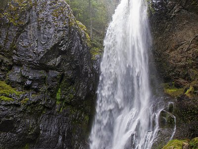
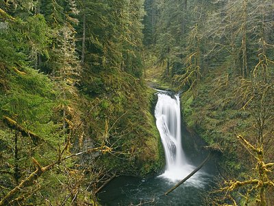
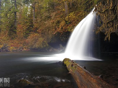
Looking for more outdoor adventures? Explore waterfall hikes near Bagby Hot Springs, Oregon.