Mount Hood Fumaroles
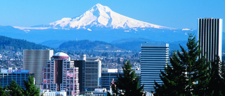
The Mount Hood Fumaroles are steam vents high on the mountain in Clackamas County, inside the Mt. Hood National Forest. The reading on file is near the boiling point, and there is nothing here to soak in. They sit close to eleven thousand feet up, about 29 miles from Mount Hood Village, and are open to the public in the sense that the mountain is.
Getting there is a climb of two and a half miles or so from the nearest road, and the record gives no road name. The average temperature up here is below freezing year round. Snowfall is measured in the hundreds of inches and precipitation tops sixty. This is alpine terrain on Forest Service land, and the fumaroles are the volcano's own heat leaking out.
The winter months are flagged on file, which for a near-summit location should be read with suspicion. Tilly Jane Guard Station is the nearest camping listed, about three miles off. Steam at the vents is hot enough to scald, so keep your distance. There is no fee on record and no soaking pool to find.
Aircraft with laser scanners measured this ground to within inches. The scan strips out trees and buildings, leaving the bare shape of the land around Mount Hood Fumaroles.
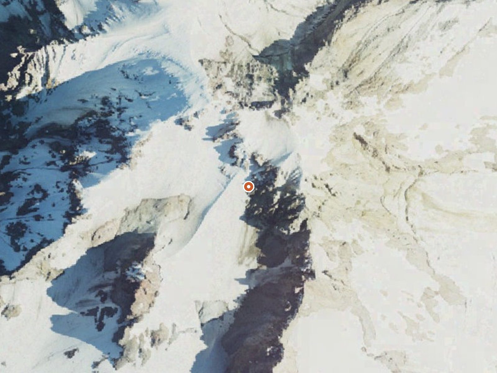
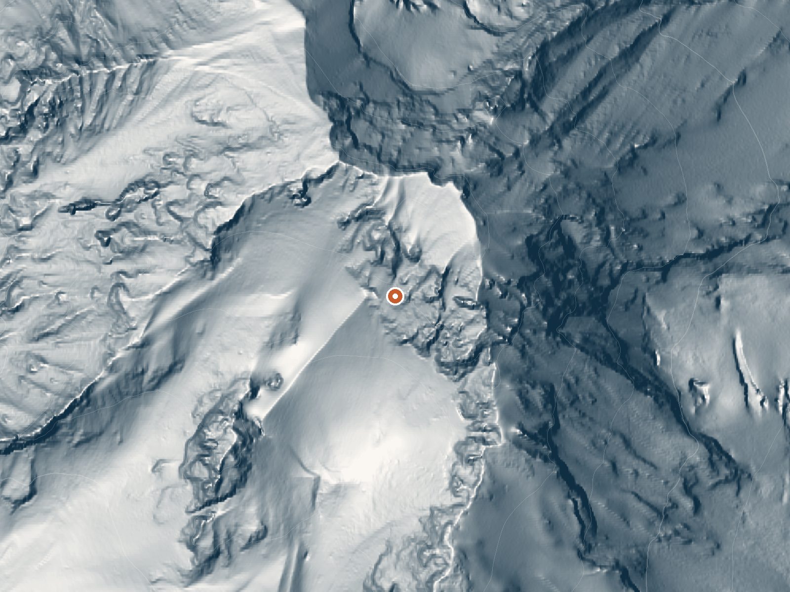
Drag the handle to compare the two views. The orange dot marks the spring, in a frame about three quarters of a mile wide.
- Setting
- Canyon floor
- Steep ground climbs away on both sides of the spring.
- Highest ground nearby
- 361 ft above the spring
- Within a quarter mile, to the north
A slice through the ground from northwest to southeast, about 0.6 miles end to end.
Elevation data: USGS 3D Elevation Program. Aerial imagery: USGS The National Map. Public domain.
Landsat's thermal camera passed over on a clear winter day, January 26, 2025. This spring's heat shows up from about 440 miles up. The brightest yellow marks the warmest ground, roughly 12°F warmer than the land around it.
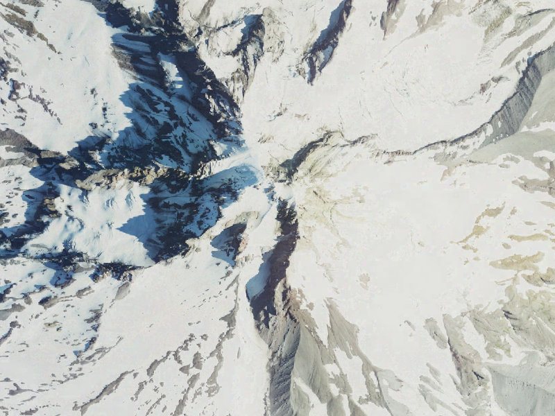
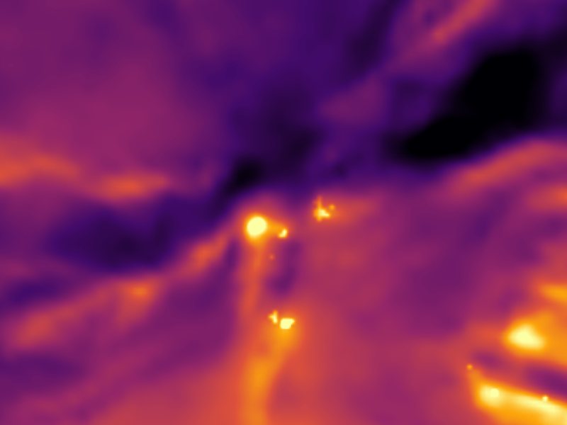
Drag to compare. The view is about 2½ miles across, and each thermal pixel covers roughly 300 feet of ground, so individual pools blur into one warm patch.
Thermal: Landsat 8/9 surface temperature, USGS (public domain), via Microsoft Planetary Computer. Aerial: USGS The National Map. More springs seen from space.
That's close to the US average of 65. It's higher than at 11% of the springs on this site.
Heat flow measures the warmth working its way up through the ground from deep inside the earth. Where it runs high, rain and snowmelt that seep down through cracks in the rock come back up hot.
See every spring on the geothermal heat map →
Heat flow estimate: Stanford Thermal Earth Model (Aljubran & Horne, 2024), CC BY 4.0.
Some links are affiliate links. We may earn a commission at no extra cost to you.
Overview Tilly Jane Guard Station is an ideal getaway for individuals and families who enjoy the great outdoors in the beautiful Pacific Northwest. It is one of the oldest structures on Mt. Hood and provides shelter for warmth and an escape from the elements while participating in a variety of activities, specifically winter-related recreation. During the winter months it serves as a winter retreat for visitors hardy enough to access the cabin from the Tilly Jane Sno-Park. The Guard Station c...
Mount Hood Fumaroles sits at 10,792 feet, well above 10,000 ft, where the air holds roughly 30% less oxygen than at sea level. Altitude sickness (headache, nausea, dizziness) is a real risk, especially when combined with the dehydrating effects of hot water. UV exposure is approximately 43% stronger than at sea level. Acclimate for at least 24 hours before soaking, drink extra water, and descend if symptoms worsen.




As an Amazon Associate, we earn from qualifying purchases.
Mount Hood Fumaroles is road-accessible, so you can bring more gear. The water is dangerously hot, so bring water shoes and test pools carefully. Cold air temperatures make a changing robe or warm layers essential.





As an Amazon Associate, we earn from qualifying purchases.
Springs Near Mount Hood Fumaroles
More Springs Around 194°F
Hike 6 waterfalls near Mount Hood Fumaroles
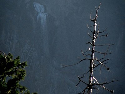
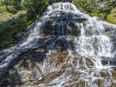
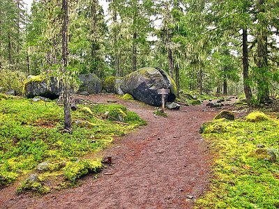
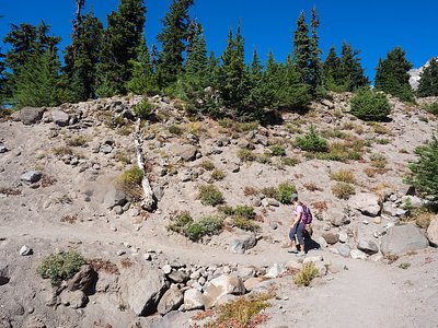
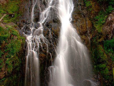
Looking for more outdoor adventures? Explore waterfall hikes near Mount Hood Fumaroles, Oregon.