Moffetts (Bonneville) Hot Springs
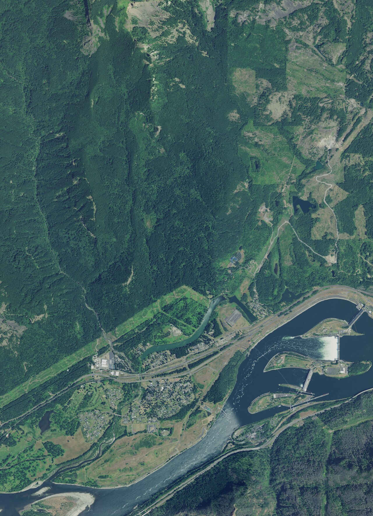
Moffetts Hot Springs, also listed as Bonneville Hot Springs, sits a few dozen feet above sea level near Cascade Locks, which is the town on record. The county on file is Hood River. The water comes out a shade under body temperature, a long, gentle soak kind of warm. Access is listed open, and the ground is Forest Service, part of the Gifford Pinchot National Forest.
The closest road, unnamed in the record, is two tenths of a mile off. Low ground, seventy-odd feet of elevation. The climate is wet and mild, with under a hundred inches of snow in a typical year and close to eighty inches of precipitation. Designated national forest, fee unrecorded.
Eagle Creek Overlook group site is the camping listed, under two miles away. The winter months come up as best in the record, and at this elevation snow is less of a problem than it would be higher up. The warmth is comfortable and carries no scald risk. Nothing in the record describes a pool or a bath type, so go expecting to find out for yourself.
The spring carries two names in the record, Moffetts and Bonneville, and USGS carries it as a thermal site.
Aircraft with laser scanners measured this ground to within inches. The scan strips out trees and buildings, leaving the bare shape of the land around Moffetts (Bonneville) Hot Springs.
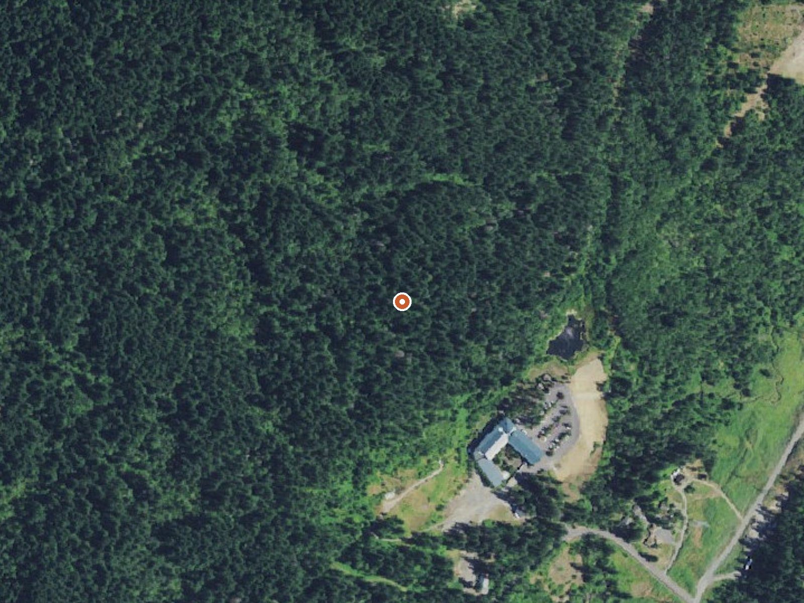
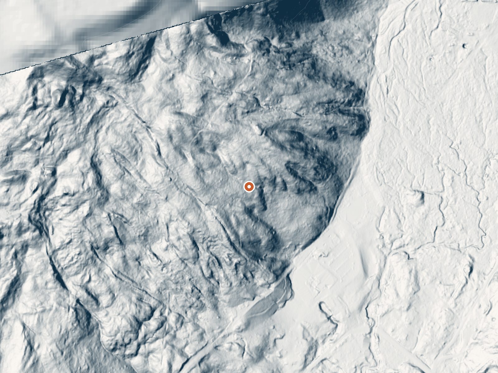
Drag the handle to compare the two views. The orange dot marks the spring, in a frame about three quarters of a mile wide.
- Setting
- Hillside
- The spring sits on a steep slope that climbs to the northwest.
- Highest ground nearby
- 271 ft above the spring
- Within a quarter mile, to the northwest
A slice through the ground from north to south, about 0.6 miles end to end.
Elevation data: USGS 3D Elevation Program. Aerial imagery: USGS The National Map. Public domain.
That's about 1½ times the US average of 65. It's higher than at 26% of the springs on this site.
Heat flow measures the warmth working its way up through the ground from deep inside the earth. Where it runs high, rain and snowmelt that seep down through cracks in the rock come back up hot.
See every spring on the geothermal heat map →
Heat flow estimate: Stanford Thermal Earth Model (Aljubran & Horne, 2024), CC BY 4.0.
Some links are affiliate links. We may earn a commission at no extra cost to you.
Overview Eagle Creek Overlook Group Site is set on a forested bluff above the Columbia River, providing an ideal setting for family gatherings and group events. Developed by the Civilian Conservation Corps (CCC) in the 1930s as a place to view construction of the Bonneville Dam, this site features CCC masonry and offers expansive views of the Columbia River and mountains rising from the gorge.Recreation The Eagle Recreation Area, just a short walk or bike ride away, provides visitors with op...
Moffetts (Bonneville) Hot Springs is road-accessible, so you can bring more gear.






As an Amazon Associate, we earn from qualifying purchases.
Springs Near Moffetts (Bonneville) Hot Springs
More Springs Around 97°F
Hike 6 waterfalls near Moffetts (Bonneville) Hot Springs
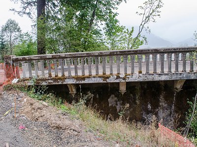
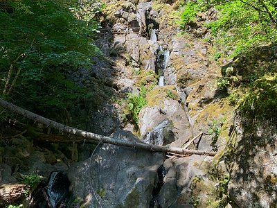
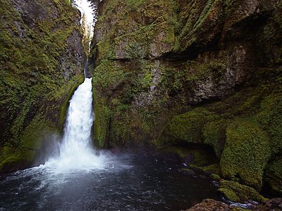
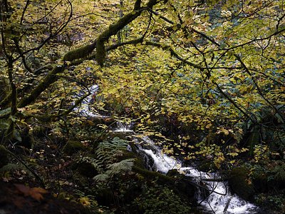
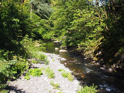
Looking for more outdoor adventures? Explore waterfall hikes near Moffetts (Bonneville) Hot Springs, Washington.