Springs
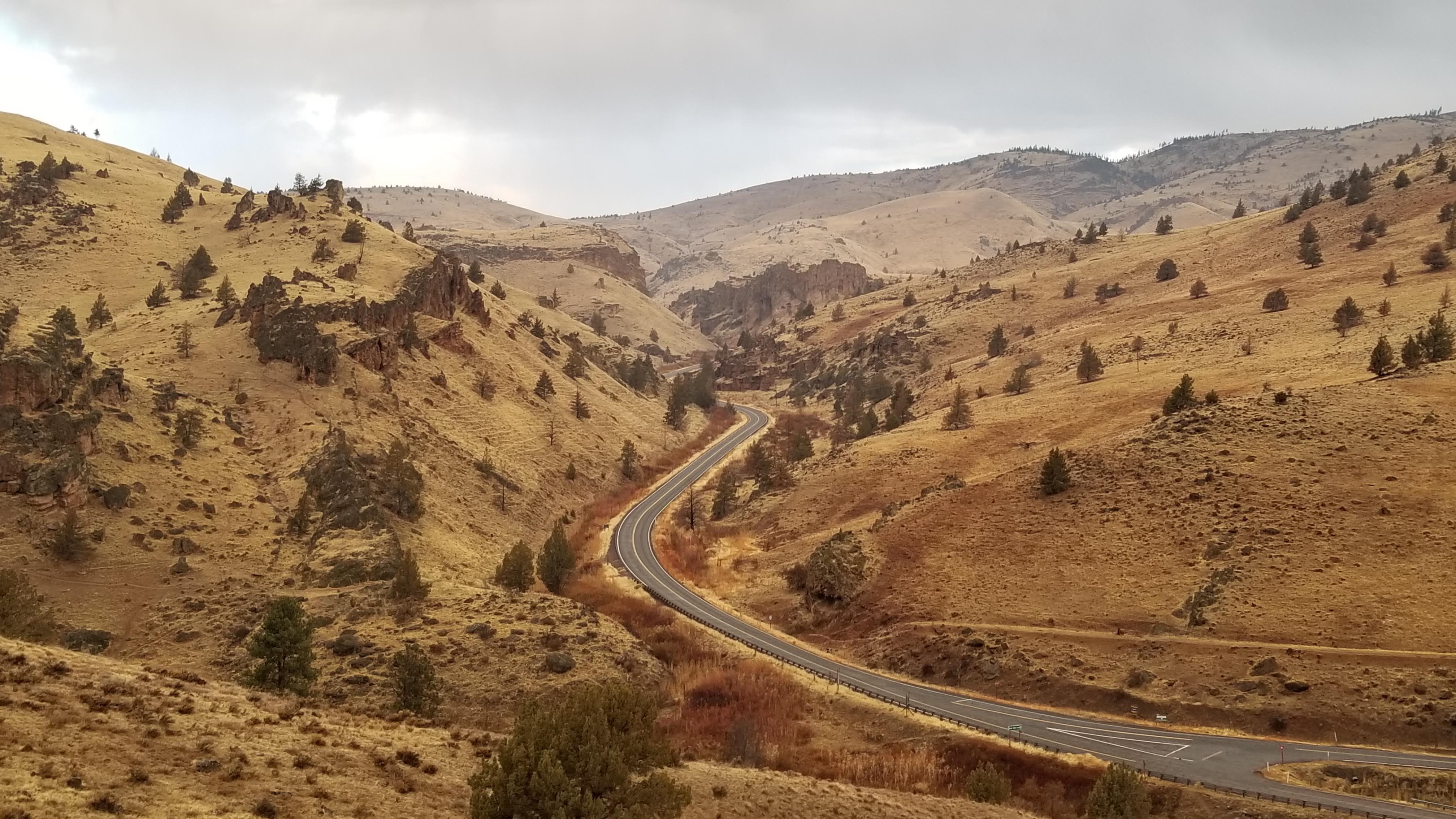
Recorded under the bare name Springs, this one lies on the Warm Springs Reservation in Jefferson County, roughly eight miles from the town of Warm Springs. The water runs hot, past the range that makes for comfortable soaking. Tribal ground, and public access is not on record, so do not assume you can walk in. It turns up in USGS thermal records.
Simnasho-Hot Springs Road is the nearest road, with the spring about a third of a mile away on foot. The land card names the Warm Springs Reservation and a tribal land designation, with the owner abbreviated as DESG on file. Elevation is a little over two thousand feet. Winters bring about two feet of snow and the year is fairly dry.
December through February are the months on file. The water is hot enough to test carefully before any contact. Mecca Flat Campground is about seven miles away. Permission is the main issue. The land is tribal and access is unknown, so ask before going.
USGS hasn't flown a detailed laser scan here yet, so this view comes from aerial photos and older elevation data.
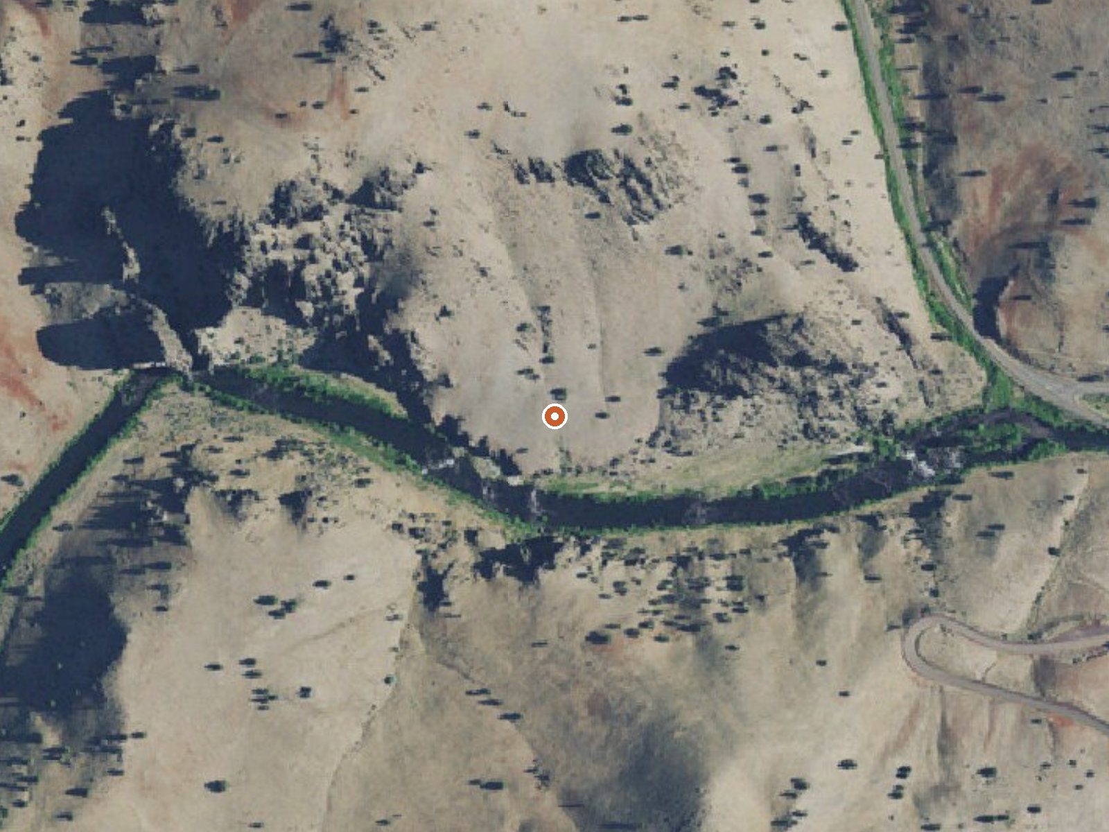
The orange dot marks the spring, in a frame about three quarters of a mile wide.
- Setting
- Canyon floor
- Steep ground climbs away on both sides of the spring.
- Highest ground nearby
- 504 ft above the spring
- Within a quarter mile, to the north
A slice through the ground from north to south, about 0.6 miles end to end.
Elevation data: USGS 3D Elevation Program. Aerial imagery: USGS The National Map. Public domain.
That's about 1½ times the US average of 65. It's higher than at 21% of the springs on this site.
Heat flow measures the warmth working its way up through the ground from deep inside the earth. Where it runs high, rain and snowmelt that seep down through cracks in the rock come back up hot.
See every spring on the geothermal heat map →
Heat flow estimate: Stanford Thermal Earth Model (Aljubran & Horne, 2024), CC BY 4.0.
Some links are affiliate links. We may earn a commission at no extra cost to you.
Situated on the banks of the Deschutes Wild and Scenic River, Mecca Flat Campground is located just a mile and a half from Oregon State Highway 26 near Warm Springs. The site features 13 individual campsites and one group use area. The southern terminus of the 7-mile long Trout Creek Trail can be accessed directly from the campground.Know Before You Go:All campsites, including the group use area are open year-round on a first-come, first-served basis; no potable water is available.The 1.6 mil...
Springs is road-accessible, so you can bring more gear. The water runs hot, so extra hydration is key.





As an Amazon Associate, we earn from qualifying purchases.
Springs Near Springs
More Springs Around 125°F
Hike 6 waterfalls near Springs
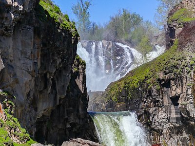
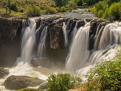
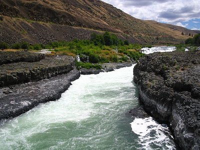
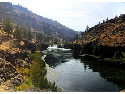
Looking for more outdoor adventures? Explore waterfall hikes near Springs, Oregon.