Olene Gap Hot Springs
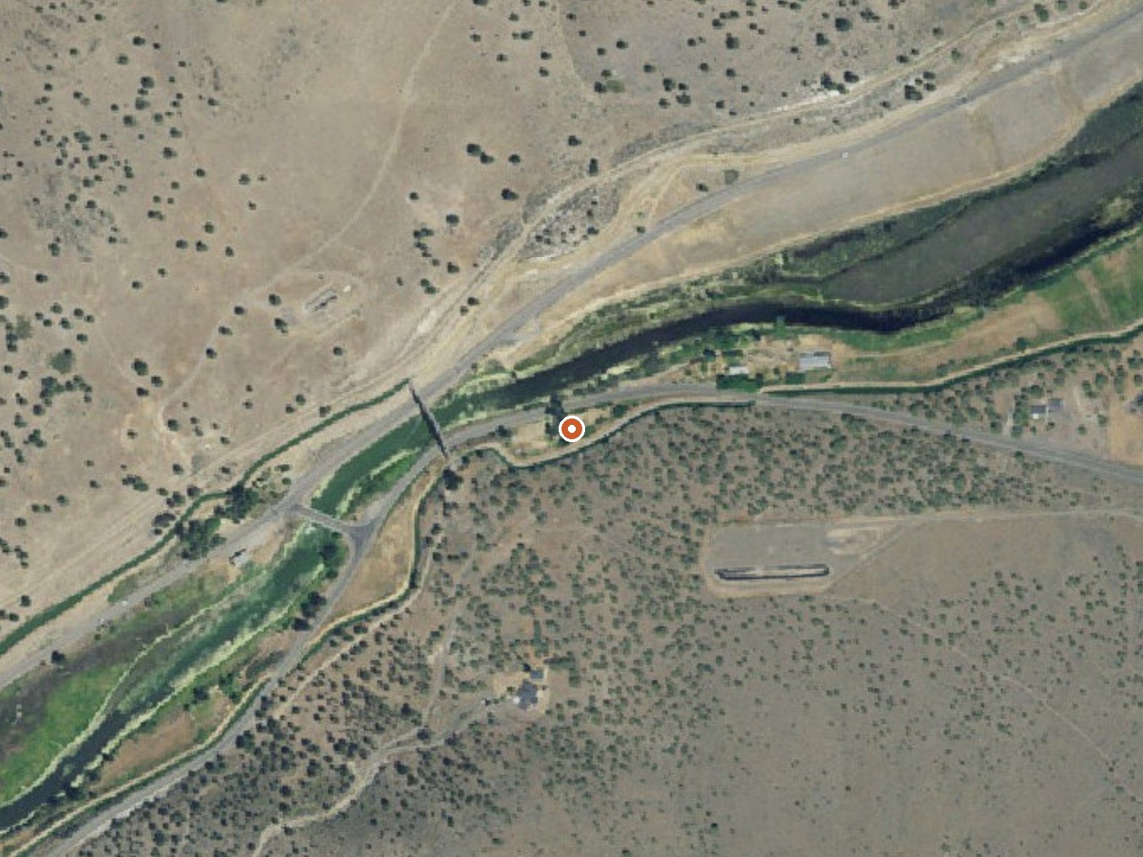
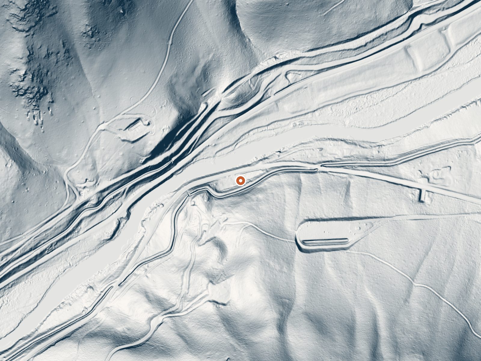
Drag the handle to compare the two views. The orange dot marks the spring, in a frame about three quarters of a mile wide.
Olene Gap Hot Springs sit beside South Poe Valley Road in Klamath County, six miles out of Altamont. The water is scalding where it surfaces, well past the point of burning bare skin. The record carries no owner and no access status. Nobody soaks in water this hot at the source. It is a quick stop on the road for anyone curious about hot water in the Klamath country.
The spring is roadside, under thirty yards from South Poe Valley Road, up in four-thousand-foot country. Winters bring several feet of snow and the year's rain is modest, under twenty inches. Whose land this is, and what is around the source, is not in the record. Topsy Campground is the closest listed camping, some twenty-two miles away.
The record puts the best months in winter. The water will scald on contact; look and keep hands out of it, and keep pets leashed near the outflow. Access to the site is unrecorded, so check ownership before stepping off the road. No fee is listed. Camping is a long way out at Topsy.
Aircraft with laser scanners measured this ground to within inches. The scan strips out trees and buildings, leaving the bare shape of the land around Olene Gap Hot Springs.
- Setting
- Hillside
- The spring sits on a steep slope that climbs to the south.
- Highest ground nearby
- 338 ft above the spring
- Within a quarter mile, to the south
A slice through the ground from south to north, about 0.6 miles end to end.
Elevation data: USGS 3D Elevation Program. Aerial imagery: USGS The National Map. Public domain.
That's close to the US average of 65. It's higher than at 9% of the springs on this site.
Heat flow measures the warmth working its way up through the ground from deep inside the earth. Where it runs high, rain and snowmelt that seep down through cracks in the rock come back up hot.
See every spring on the geothermal heat map →
Heat flow estimate: Stanford Thermal Earth Model (Aljubran & Horne, 2024), CC BY 4.0.
Some links are affiliate links. We may earn a commission at no extra cost to you.
Located on the rugged shoreline of the newly restored Klamath River, the Topsy Campground provides a quiet location for relaxing camping, picnicking, fishing, and river boating. The area is set in an open ponderosa pine forest with nearby views of Mount McLoughlin, an icon of the southern Oregon Cascade Mountains.Know Before You Go:Open Season Topsy Campground is open seasonally from May through October.13 Campsites with picnic tables, fire rings, and tent pads; first come, first serve.Univer...
Olene Gap Hot Springs is road-accessible, so you can bring more gear. The water is dangerously hot, so bring water shoes and test pools carefully.





As an Amazon Associate, we earn from qualifying purchases.
Springs Near Olene Gap Hot Springs
More Springs Around 165°F
Hike 2 waterfalls near Olene Gap Hot Springs
Looking for more outdoor adventures? Explore waterfall hikes near Olene Gap Hot Springs, Oregon.