Unnamed Thermal Spring
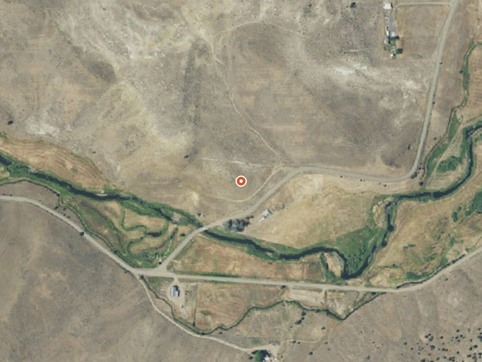
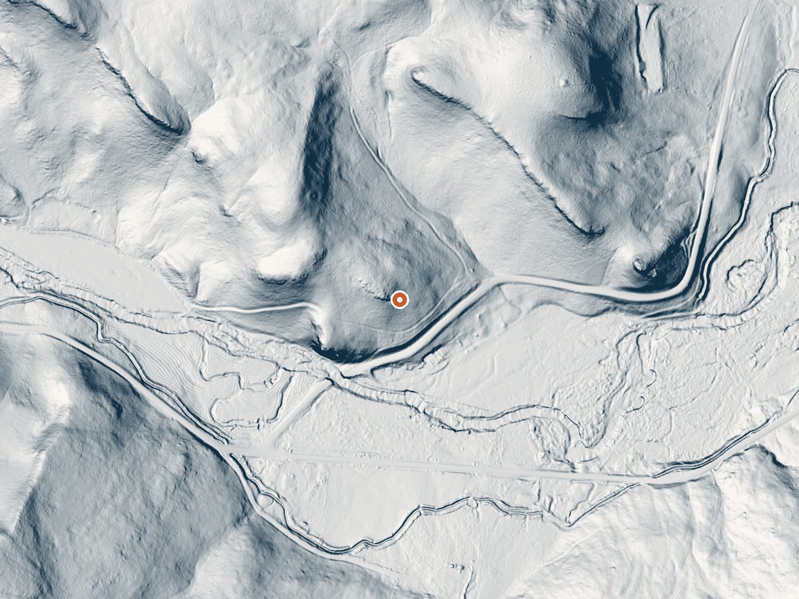
Drag the handle to compare the two views. The orange dot marks the spring, in a frame about three quarters of a mile wide.
An unnamed thermal point in Harney County about 32 miles from Burns, and a scalding one. The water on file is far too hot to touch. The USGS tracks it and took a water sample in 1977, which showed moderately mineralized water. Who owns the land and whether visitors are permitted is not recorded.
A couple hundred feet off Clark Lane, which makes it roadside in practice. The elevation is around thirty-seven hundred feet, high desert. Snow comes in a little short of three feet, and it is dry country, around thirteen inches of precipitation a year.
The winter months are listed as best. The water is scalding, so stay back from the source and from anything it feeds. Rock Springs Campground, about eighteen miles away, is the camping on record. The dissolved solids figure comes from a 1977 sample and should be treated as historical. Access is unrecorded, so check the land status first.
Aircraft with laser scanners measured this ground to within inches. The scan strips out trees and buildings, leaving the bare shape of the land around this spring.
- Setting
- Gentle slope
- The ground tilts gently up to the northeast.
- Highest ground nearby
- 104 ft above the spring
- Within a quarter mile, to the northeast
A slice through the ground from northwest to southeast, about 0.6 miles end to end.
Elevation data: USGS 3D Elevation Program. Aerial imagery: USGS The National Map. Public domain.
That's close to the US average of 65. It's higher than at 10% of the springs on this site.
Heat flow measures the warmth working its way up through the ground from deep inside the earth. Where it runs high, rain and snowmelt that seep down through cracks in the rock come back up hot.
See every spring on the geothermal heat map →
Heat flow estimate: Stanford Thermal Earth Model (Aljubran & Horne, 2024), CC BY 4.0.
The water at This spring contains 858 mg/L total dissolved solids.
This small campground is convieniently located just off of Forest Road 17. Nestled among pondersoa pine trees, this secluded campground offers a wonderful place for those in search of a quiet place to stay, whether camping or just needing a quiet place to spend the night while traveling from Burns to John Day, Oregon. The campground has light use until big game hunting seasons. Visitors can enjoy fishing in Poison Creek Resevoir, hiking, hunting and horseback riding local trails such as Mal...
Springs Near This Spring
More Springs Around 165°F
Hike 2 waterfalls near this spring
Looking for more outdoor adventures? Explore waterfall hikes near this spring, Oregon.