Unnamed Thermal Spring
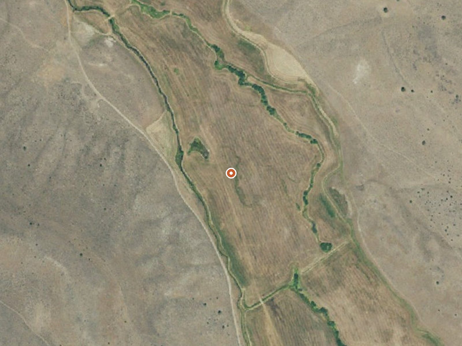
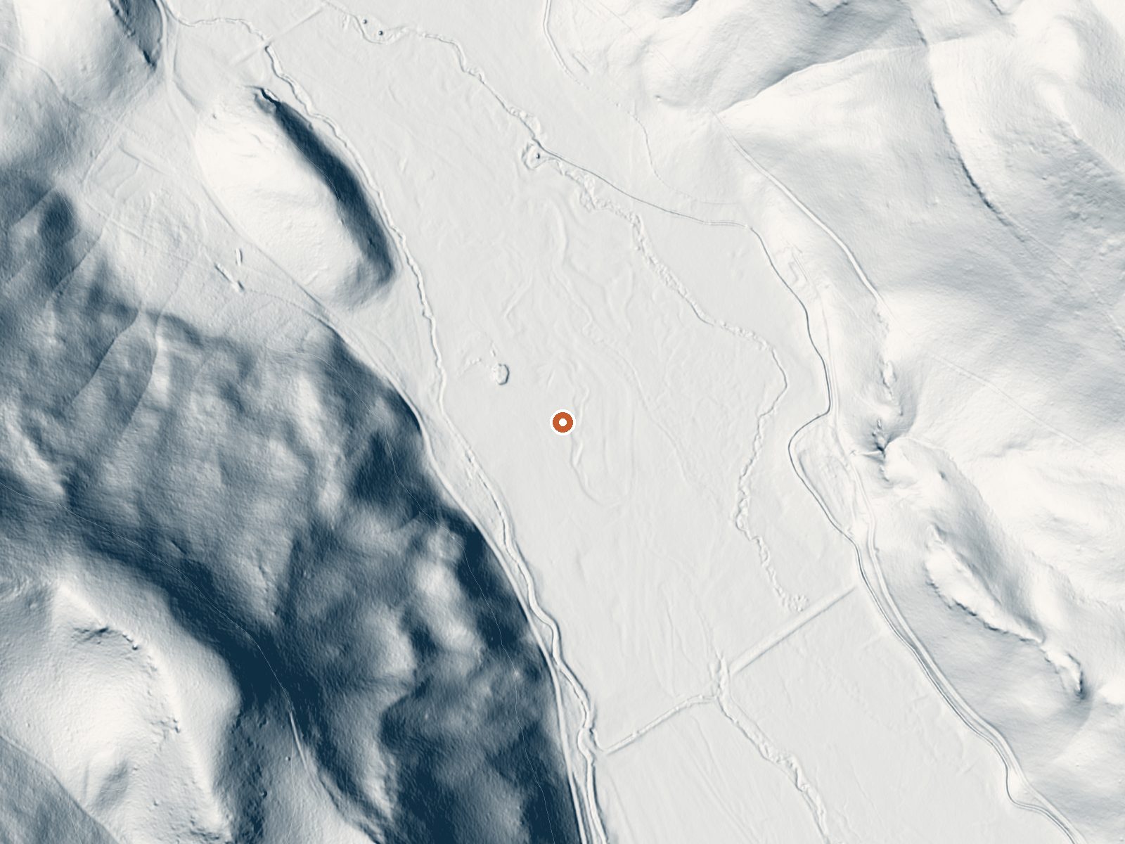
Drag the handle to compare the two views. The orange dot marks the spring, in a frame about three quarters of a mile wide.
An unnamed thermal point in Harney County, roughly seventeen miles from Burns, that the USGS tracks by site number. The water on file is tepid, a bit above room temperature and well under body heat. Nothing is recorded about who owns the land or whether the public may visit.
Plan on a mile and a half of walking, more or less. The road it starts from goes unnamed in the record. Ground sits a shade past four thousand feet, high desert. Winter drops about three feet of snow onto it. The year runs dry. No land unit or designation was ever listed.
The months on file as best are the winter ones. The water is too cool to soak in. Idlewild is the nearest campground recorded, around sixteen miles away. Ownership and access are both blank, so find out whose land the hike crosses before you go. No fee is listed.
Aircraft with laser scanners measured this ground to within inches. The scan strips out trees and buildings, leaving the bare shape of the land around this spring.
- Setting
- Hillside
- The spring sits on a steep slope that climbs to the southwest.
- Highest ground nearby
- 356 ft above the spring
- Within a quarter mile, to the southwest
A slice through the ground from southwest to northeast, about 0.6 miles end to end.
Elevation data: USGS 3D Elevation Program. Aerial imagery: USGS The National Map. Public domain.
That's close to the US average of 65. It's higher than at 6% of the springs on this site.
Heat flow measures the warmth working its way up through the ground from deep inside the earth. Where it runs high, rain and snowmelt that seep down through cracks in the rock come back up hot.
See every spring on the geothermal heat map →
Heat flow estimate: Stanford Thermal Earth Model (Aljubran & Horne, 2024), CC BY 4.0.
Overview Idlewild Campground is the perfect place for large gatherings in any weather. In sun, rain or snow, there are plenty of ways to enjoy the outdoors while spending time with friends and family. The campground is situated along Highway 395 north of Burns, Oregon. In the summer, it is popular with hikers and mountain bikers. In the winter, visitors can snowmobile and cross-country ski.Recreation Idlewild offers opportunities for camping, picnicking, hiking and mountain biking. Devine Su...
Springs Near This Spring
More Springs Around 72°F
Hike 2 waterfalls near this spring
Looking for more outdoor adventures? Explore waterfall hikes near this spring, Oregon.