Warm Mineral Spring
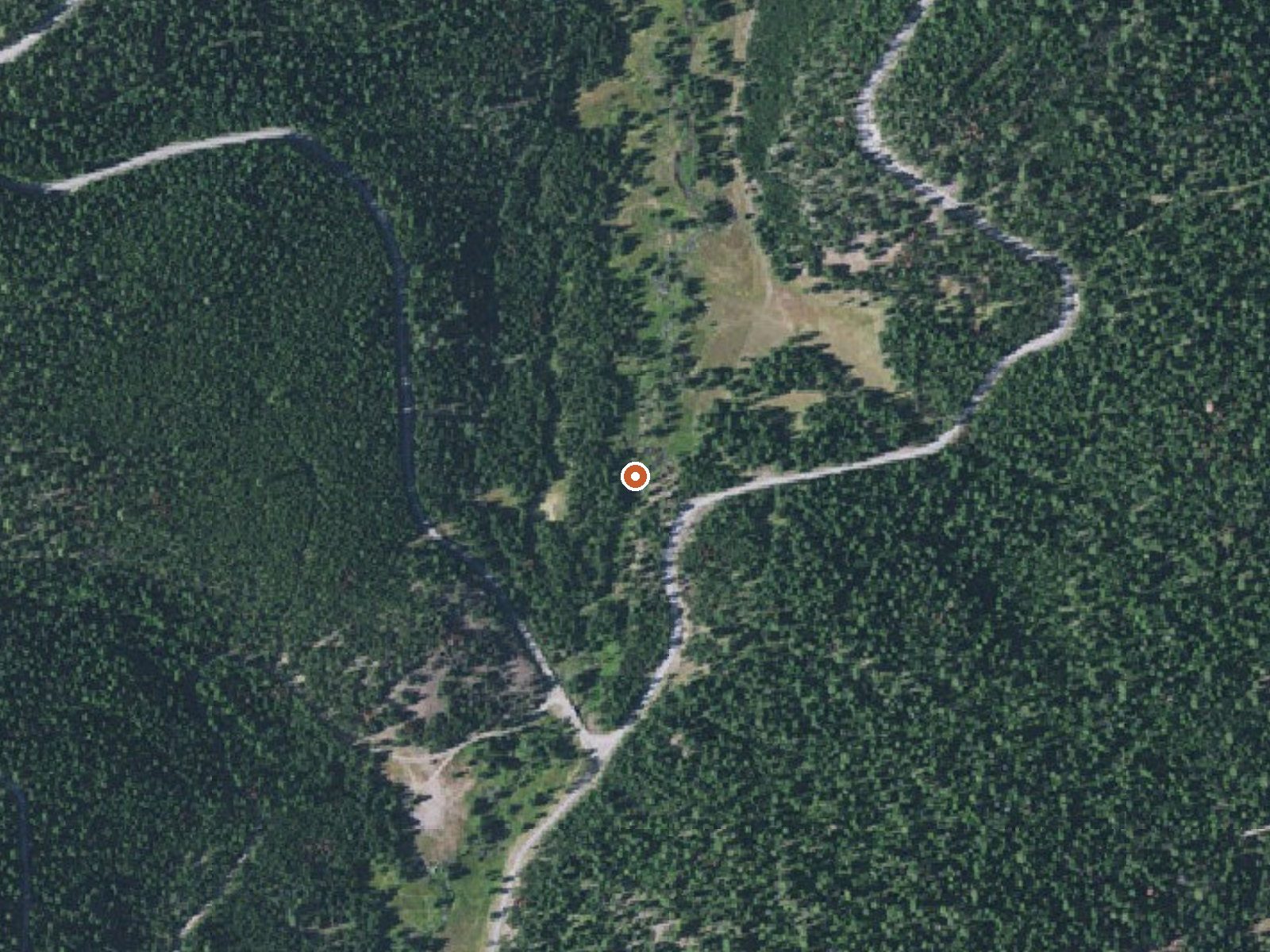
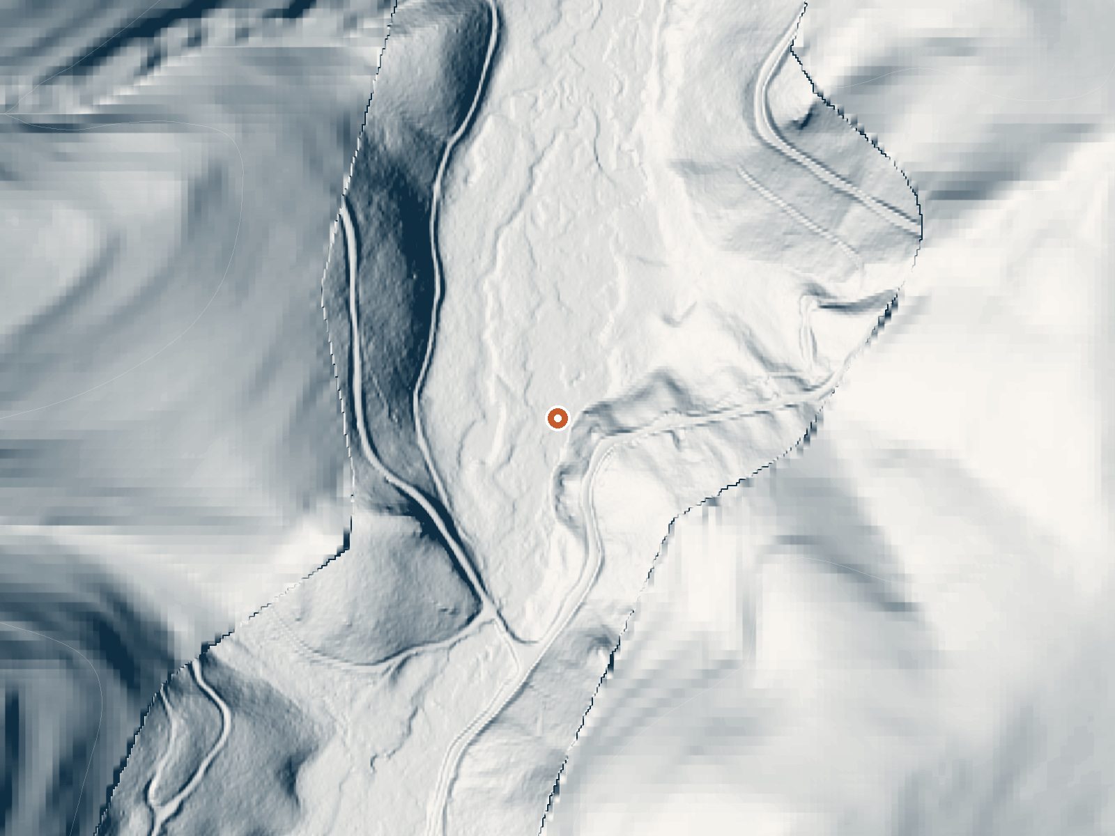
Drag the handle to compare the two views. The orange dot marks the spring, in a frame about three quarters of a mile wide.
Warm Mineral Spring is a roadside warm spring in the Whitman National Forest, Union County, about 25 miles from La Grande. The water comes out warm, well under body temperature, so this is a dip on a hot day more than a soak. Access is open. It sits a hundred yards or so off a forest development road, which makes it easy to reach once the road is clear.
National Forest Development Road 5160 passes within a few hundred feet. Forest Service land, a bit over 4,300 feet up, and this is wet country by eastern Oregon standards: over thirty inches of precipitation a year and something like nine and a half feet of snow over a winter. The nearest camping on file is Anthony Lake, roughly thirteen miles away.
The record rates December through February as best months, yet with the snowfall here a forest road is unlikely to be drivable then, so confirm the road status with the Forest Service before relying on it. Anthony Lake is the campground on file. No fee and no water chemistry appear on the record. The temperature is warm at best; do not expect a hot soak.
Aircraft with laser scanners measured this ground to within inches. The scan strips out trees and buildings, leaving the bare shape of the land around Warm Mineral Spring.
- Setting
- Hillside
- The spring sits on a steep slope that climbs to the south.
- Highest ground nearby
- 309 ft above the spring
- Within a quarter mile, to the south
A slice through the ground from northwest to southeast, about 0.6 miles end to end.
Elevation data: USGS 3D Elevation Program. Aerial imagery: USGS The National Map. Public domain.
That's close to the US average of 65. It's higher than at 16% of the springs on this site.
Heat flow measures the warmth working its way up through the ground from deep inside the earth. Where it runs high, rain and snowmelt that seep down through cracks in the rock come back up hot.
See every spring on the geothermal heat map →
Heat flow estimate: Stanford Thermal Earth Model (Aljubran & Horne, 2024), CC BY 4.0.
Some links are affiliate links. We may earn a commission at no extra cost to you.
Overview At an elevation of 7,100 feet, this campground keeps cool in the summertime heat. The sites sit among boulders and mixed conifers on a bluff over Anthony Lake. For questions for Anthony Lake, Grande Ronde Lake, Mud Lake, Peavey Cabin, and Anthony Lake Guard Station call (541) 894-2332 or email campgrounds@anthonylakes.com None of the sites offer lake views, but campers can enjoy gazing on Gunsight Mountain and the surrounding peaks of the Elkhorn range. Anthony Lakes Campgrounds Webs...
Warm Mineral Spring is road-accessible, so you can bring more gear. Cold air temperatures make a changing robe or warm layers essential.






As an Amazon Associate, we earn from qualifying purchases.
Springs Near Warm Mineral Spring
More Springs Around 83°F
Hike 4 waterfalls near Warm Mineral Spring

Looking for more outdoor adventures? Explore waterfall hikes near Warm Mineral Spring, Oregon.