Baker (Abraham, Crater) Hot Springs
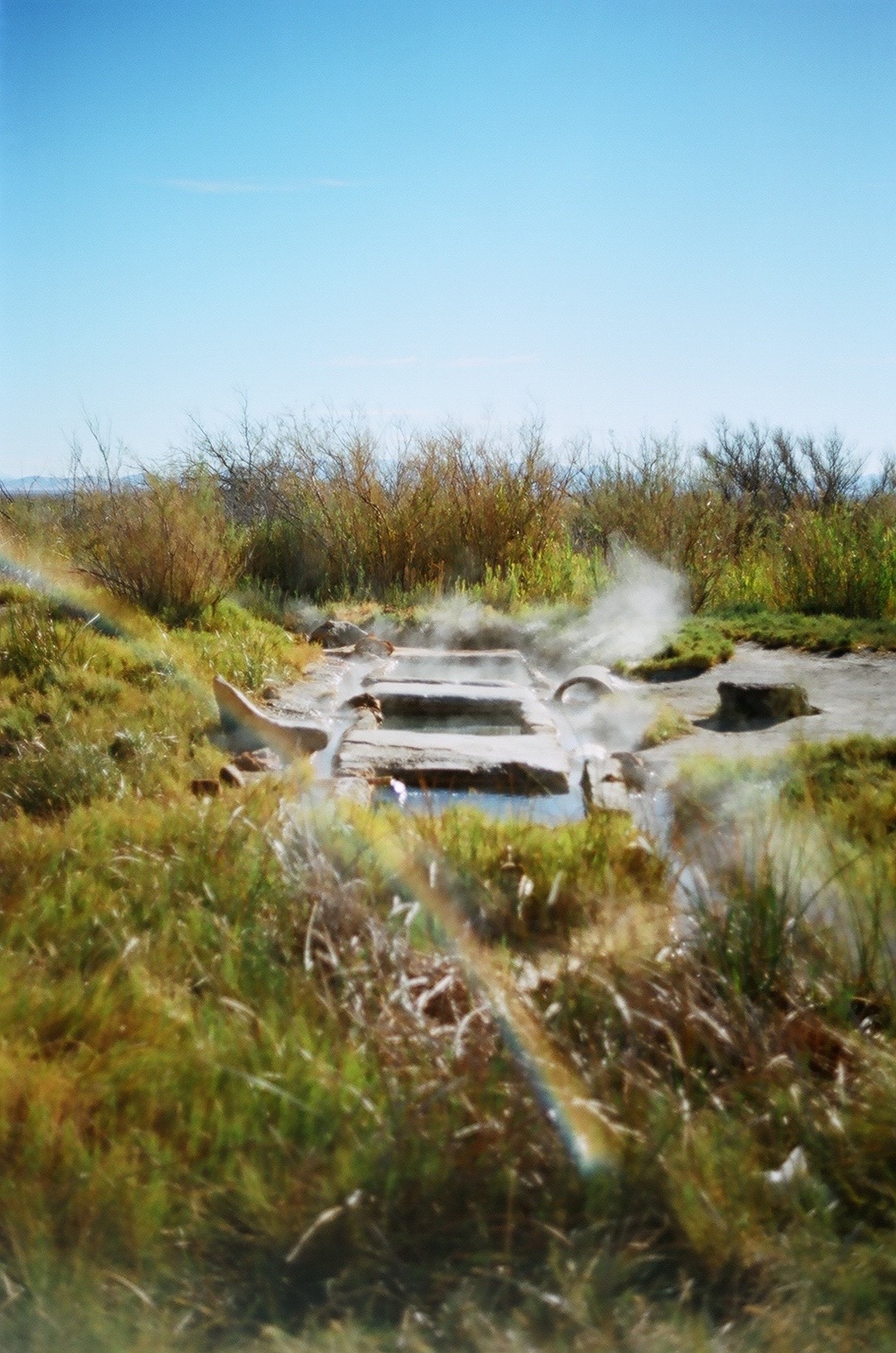
Baker Hot Springs, which the record also files under the older names Abraham and Crater, is a group of geothermal springs on Fumarole Butte in Millard County, twenty miles from Delta. The source water is scalding, far too hot to enter where it surfaces. The land is BLM, Fillmore Field Office, and the public may enter.
Dry desert at about 4,600 feet, seven inches of precipitation in a typical year and little snow. The springs are roadside, a hundred yards or so from a road unnamed on file. Jericho Campground and Picnic Area, roughly twenty miles, is the closest camping the record lists. Fumarole Butte is the landform, per Wikipedia.
Midwinter is the record's pick, and snow is light here. The source will scald; keep out of the outflow near the vents and check the temperature of any water before touching it. Open to the public from the roadside, no fee on file. Jericho is the camping option, about twenty miles off.
Wikipedia records that Baker Hot Springs were formerly known as Crater Springs and as Abraham Hot Springs, and that they form a system of geothermal springs on Fumarole Butte northwest of Delta. OpenStreetMap lists the site under the Baker name. The USGS carries a thermal site number for it.
Aircraft with laser scanners measured this ground to within inches. The scan strips out trees and buildings, leaving the bare shape of the land around Baker (Abraham, Crater) Hot Springs.
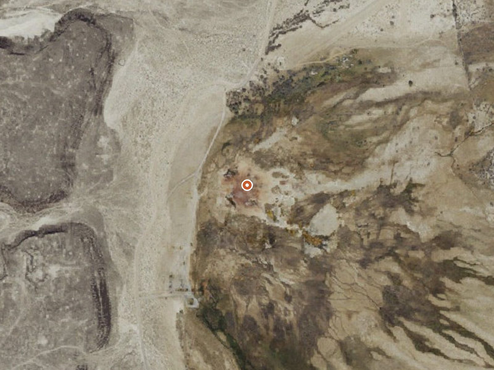
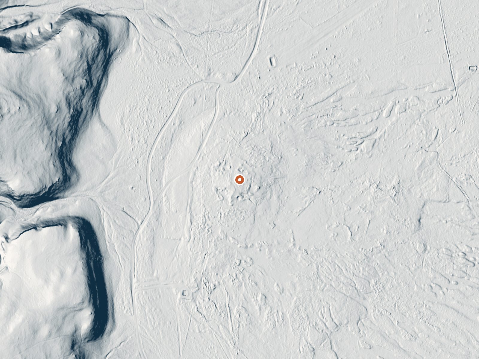
Drag the handle to compare the two views. The orange dot marks the spring, in a frame about three quarters of a mile wide.
- Setting
- Open ground
- Flat, open ground all around.
- Highest ground nearby
- 21 ft above the spring
- Within a quarter mile, to the west
A slice through the ground from west to east, about 0.6 miles end to end.
Elevation data: USGS 3D Elevation Program. Aerial imagery: USGS The National Map. Public domain.
Landsat's thermal camera passed over on a clear winter day, February 13, 2023. This spring's heat shows up from about 440 miles up. The brightest yellow marks the warmest ground, roughly 15°F warmer than the land around it.
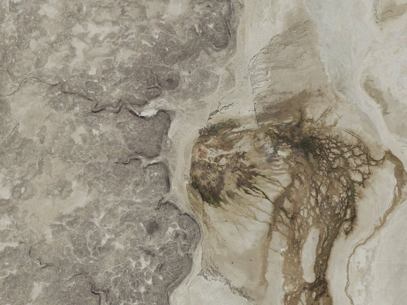
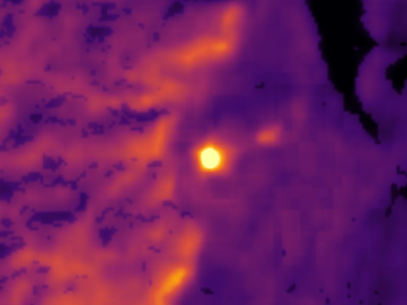
Drag to compare. The view is about 2½ miles across, and each thermal pixel covers roughly 300 feet of ground, so individual pools blur into one warm patch.
Thermal: Landsat 8/9 surface temperature, USGS (public domain), via Microsoft Planetary Computer. Aerial: USGS The National Map. More springs seen from space.
That's about 1½ times the US average of 65. It's higher than at 60% of the springs on this site.
Heat flow measures the warmth working its way up through the ground from deep inside the earth. Where it runs high, rain and snowmelt that seep down through cracks in the rock come back up hot.
See every spring on the geothermal heat map →
Heat flow estimate: Stanford Thermal Earth Model (Aljubran & Horne, 2024), CC BY 4.0.
Some links are affiliate links. We may earn a commission at no extra cost to you.
One of 4 campgrounds within the Little Sahara Recreation Area (LSRA), the Jericho Campground and Picnic Area has 16 sites for camping and/or picnicking. On busy weekends in the spring, LSRA may receive up to 30,000 visitors, large camping groups, and heavy use of public facilities.
Baker (Abraham, Crater) Hot Springs is road-accessible, so you can bring more gear. The water is dangerously hot, so bring water shoes and test pools carefully.





As an Amazon Associate, we earn from qualifying purchases.