Layton Spring
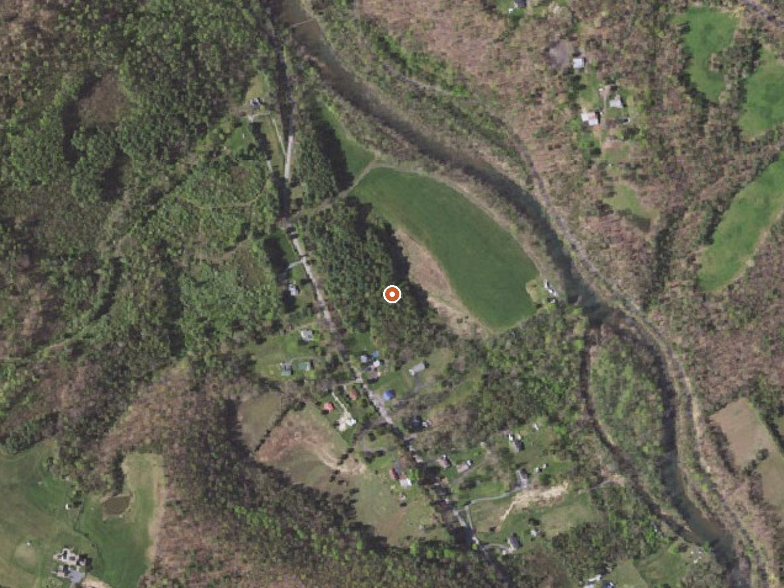
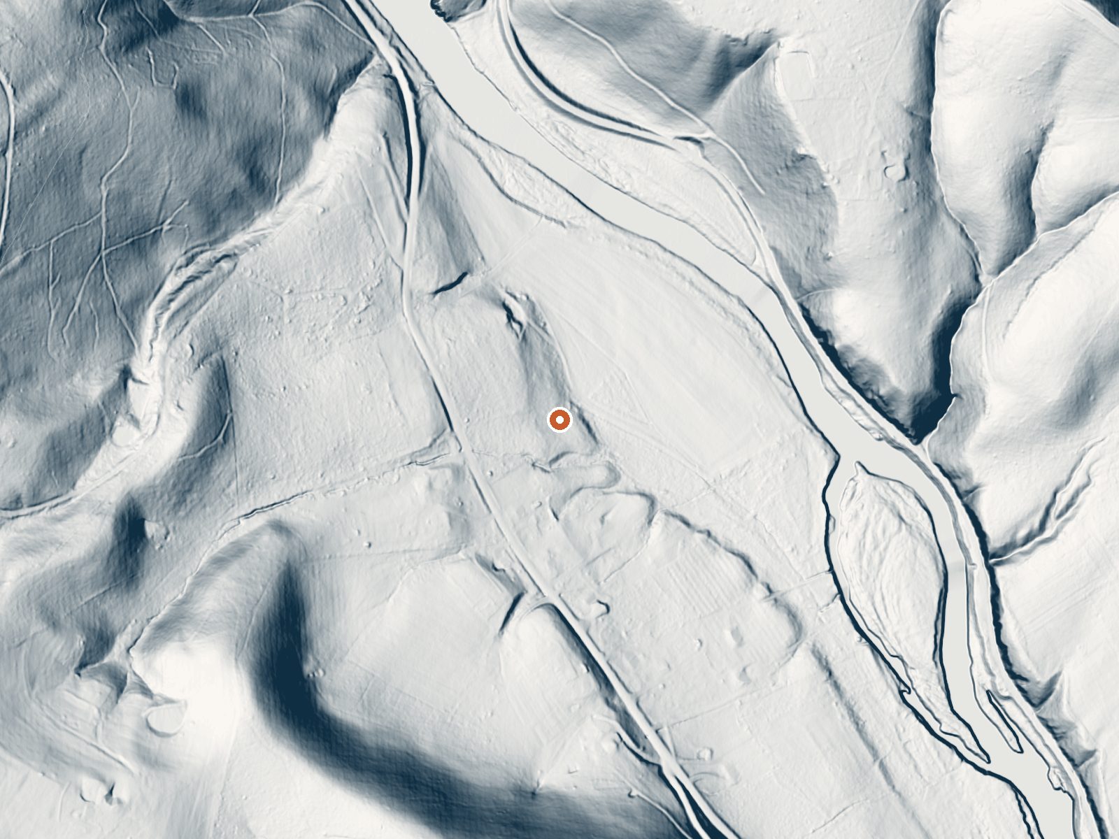
Drag the handle to compare the two views. The orange dot marks the spring, in a frame about three quarters of a mile wide.
Layton Spring is a tepid spring in the City of Covington, Virginia, roughly five and a half miles from Covington proper. Low seventies water. The record carries no owner, no access status, no chemistry and no USGS site, so what you have is a point on a map with a temperature attached. Morris Hill Campground is nearby, about five miles off.
Jackson River Road is the nearest road, and from there you walk somewhere over three hundred feet. The elevation is low for this region, about thirteen hundred feet. The climate is wet, forty-five inches of rain and snow a year, and the snow portion is light, around twenty-three inches. Land unit and designation are blank and there is no photo on file.
Winter is rated best, and at this elevation the road should be open most of the season. A short walk from the pavement. Morris Hill Campground is the camping on record, about five miles away, which makes an overnight simple. Access is not recorded, so check before you go. The only measurement on file is the temperature.
Aircraft with laser scanners measured this ground to within inches. The scan strips out trees and buildings, leaving the bare shape of the land around Layton Spring.
- Setting
- Valley floor
- Gentle slopes rise on both sides.
- Highest ground nearby
- 177 ft above the spring
- Within a quarter mile, to the northeast
A slice through the ground from northwest to southeast, about 0.6 miles end to end.
Elevation data: USGS 3D Elevation Program. Aerial imagery: USGS The National Map. Public domain.
That's close to the US average of 65. It's higher than at 12% of the springs on this site.
Heat flow measures the warmth working its way up through the ground from deep inside the earth. Where it runs high, rain and snowmelt that seep down through cracks in the rock come back up hot.
See every spring on the geothermal heat map →
Heat flow estimate: Stanford Thermal Earth Model (Aljubran & Horne, 2024), CC BY 4.0.
Some links are affiliate links. We may earn a commission at no extra cost to you.
Overview Morris Hill is a peaceful, rustic campground for groups of family and friends. The family campground is a family-friendly destination perched on a ridge above Lake Moomaw. Kids can have fun at the playground while older generations sit back and relax in the shade. The group sites accommodate up the 25 guests with space for up to eight tents. Campers can enjoy the wonders of camping with simple pleasures like s'mores on the campfire, berry picking in the woods, and watching for water...
Layton Spring is road-accessible, so you can bring more gear.






As an Amazon Associate, we earn from qualifying purchases.
Springs Near Layton Spring
More Springs Around 72°F
Hike 6 waterfalls near Layton Spring
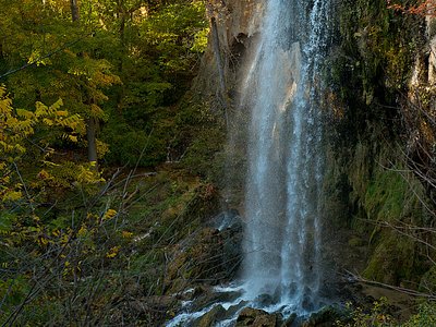
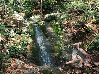
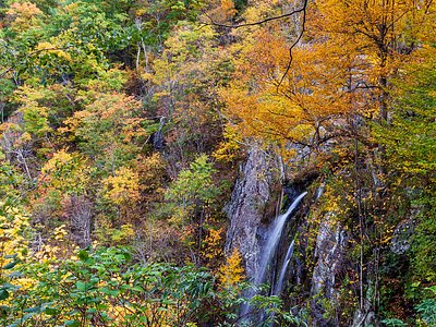
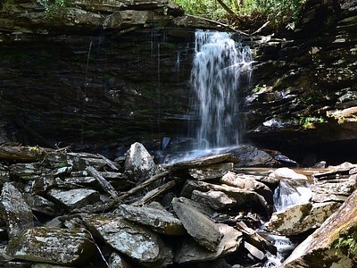
Looking for more outdoor adventures? Explore waterfall hikes near Layton Spring, Virginia.