Sweet Chalybeate Spring
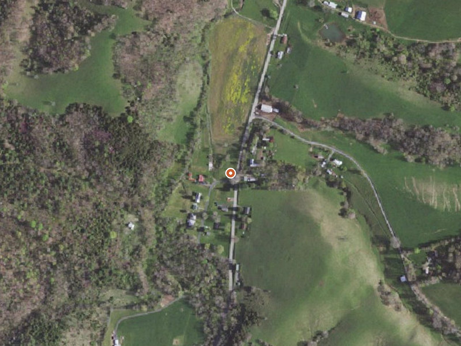
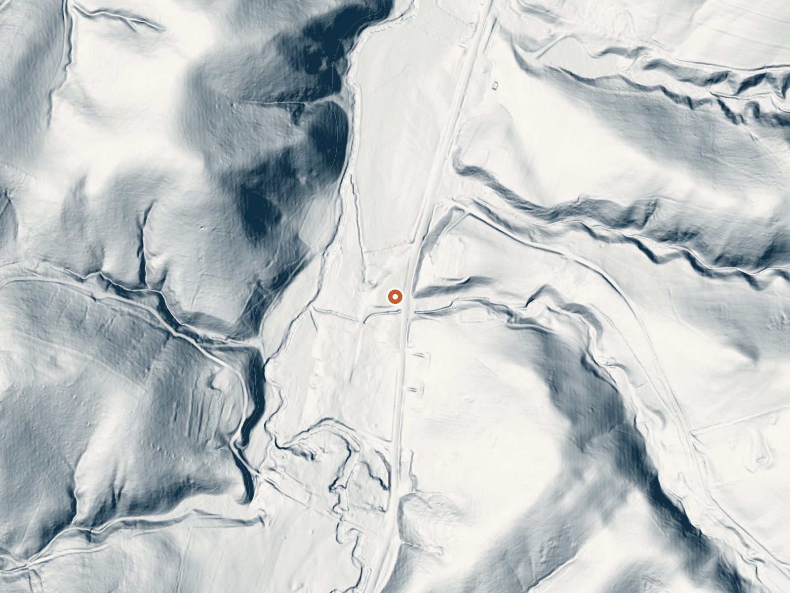
Drag the handle to compare the two views. The orange dot marks the spring, in a frame about three quarters of a mile wide.
Sweet Chalybeate Spring sits in Greenbrier County at White Sulphur Springs, by the record right in town. Warm water, mid seventies. Chalybeate is the old word for iron-bearing water, and the name suggests that, though no chemistry is on file to confirm it. No owner and no access status appear in the record. A USGS site number is attached.
Stone Road passes within about sixty feet, a drive-up location. Elevation is about two thousand feet. A year brings about forty-four inches of precipitation, with a bit over two feet of that as snow. Land unit and designation are blank and there is no photograph.
December through February are the rated months. Roadside. Steel Bridge Campground is the camping on file, about three miles off, which makes an overnight easy. Access is not recorded, so look for signage. The temperature is the only measurement recorded.
Aircraft with laser scanners measured this ground to within inches. The scan strips out trees and buildings, leaving the bare shape of the land around Sweet Chalybeate Spring.
- Setting
- Valley floor
- Gentle slopes rise on both sides.
- Highest ground nearby
- 183 ft above the spring
- Within a quarter mile, to the southeast
A slice through the ground from southwest to northeast, about 0.6 miles end to end.
Elevation data: USGS 3D Elevation Program. Aerial imagery: USGS The National Map. Public domain.
That's close to the US average of 65. It's higher than at 5% of the springs on this site.
Heat flow measures the warmth working its way up through the ground from deep inside the earth. Where it runs high, rain and snowmelt that seep down through cracks in the rock come back up hot.
See every spring on the geothermal heat map →
Heat flow estimate: Stanford Thermal Earth Model (Aljubran & Horne, 2024), CC BY 4.0.
Overview Steel Bridge Group Campground provides old-fashioned, rustic group camping for those that require few amenities. There are three well shaded camping sites for available for small group camping. Recreation Steel Bridge Group Camping provides old-fashioned, rustic group and family camping. Visitors enjoy splashing in the cool water of Potts Creek that edges the campground. Potts Creek is a stocked trout stream and has a small swimming hole as well as many rock ledges and small falls...
Springs Near Sweet Chalybeate Spring
More Springs Around 75°F
Hike 6 waterfalls near Sweet Chalybeate Spring
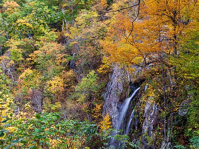
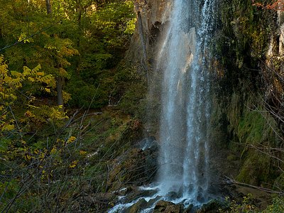
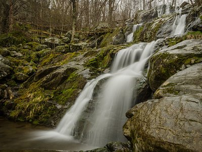
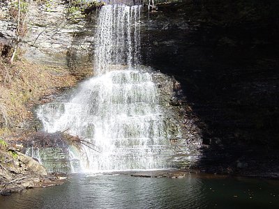
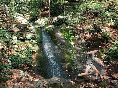
Looking for more outdoor adventures? Explore waterfall hikes near Sweet Chalybeate Spring, Virginia.