Old Sweet Spring
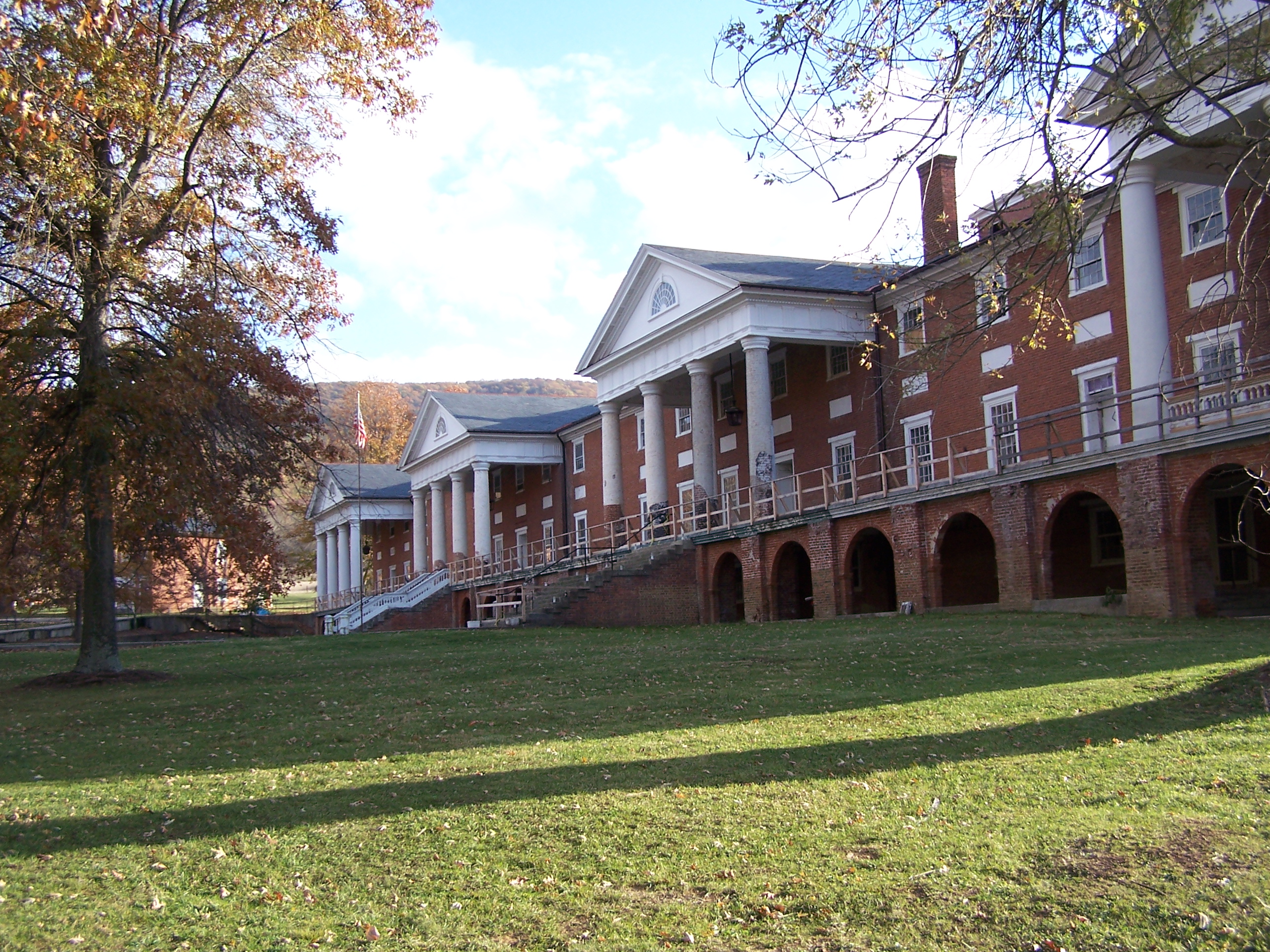
Old Sweet Spring is the spring behind Sweet Springs Resort, a spa founded in 1792 in Sweet Springs, West Virginia, and on record in Greenbrier County, about twelve miles from White Sulphur Springs. Wikipedia describes a hot spring. The temperature on record is in the low seventies. The resort buildings are being renovated by a nonprofit foundation. Nothing is recorded on who owns the spring itself or who may visit.
Jefferson Lane runs within two hundred feet. At two thousand feet, where the record shows forty-some inches of precipitation along with a couple of feet of snow. The ground belongs to a resort property under renovation, per Wikipedia, though the record itself lists no owner.
Steel Bridge Campground is a couple of miles off. Winter months are on file as best, and snow is light. Tepid water, no burn risk. Because the resort is mid-renovation, it is unclear if the spring can be visited; ask the Sweet Springs Resort Park Foundation.
Sweet Springs Resort was founded in 1792 and was once known as Old Sweet Springs, the name that survives in this record. The hotel is being restored by the nonprofit Sweet Springs Resort Park Foundation. USGS keeps a site number for the spring.
The brick bathing house at Old Sweet Springs, a spa that opened in 1833. A federal building survey photographed it standing in a mown lawn in 1933. By 2015 the roof was gone and the brush had moved in.
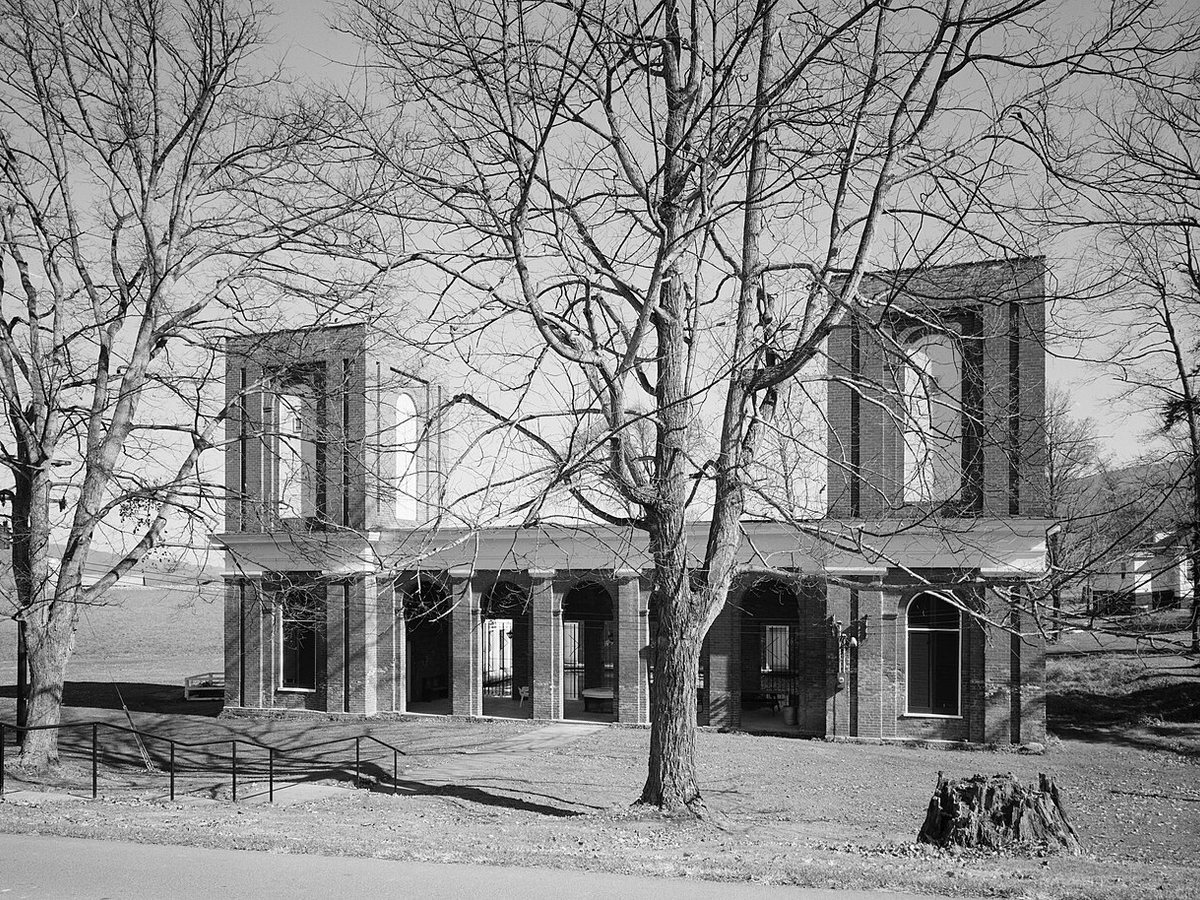
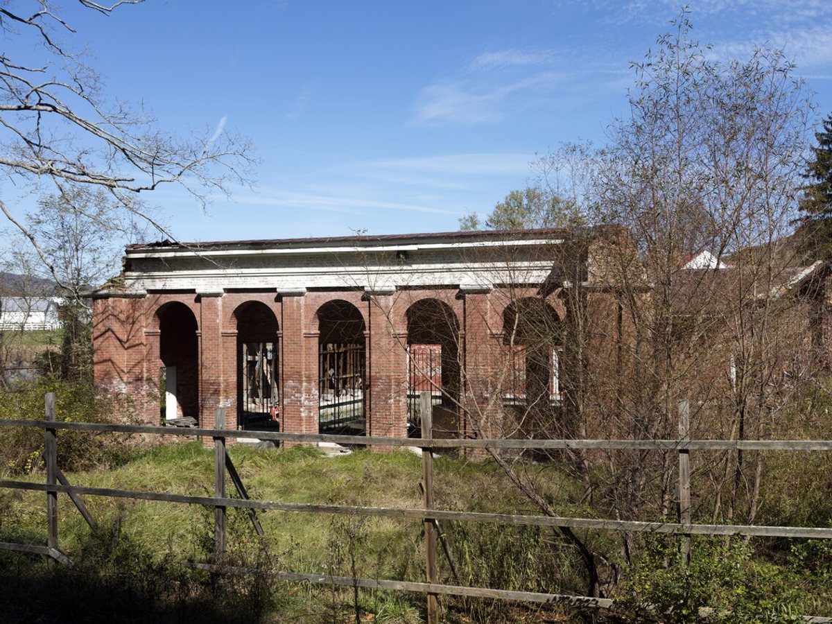
Drag to compare.
1933: Historic American Buildings Survey, Library of Congress, public domain. 2015: Carol M. Highsmith, Library of Congress, public domain.
Aircraft with laser scanners measured this ground to within inches. The scan strips out trees and buildings, leaving the bare shape of the land around Old Sweet Spring.
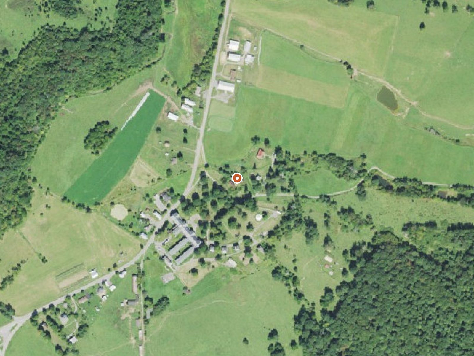
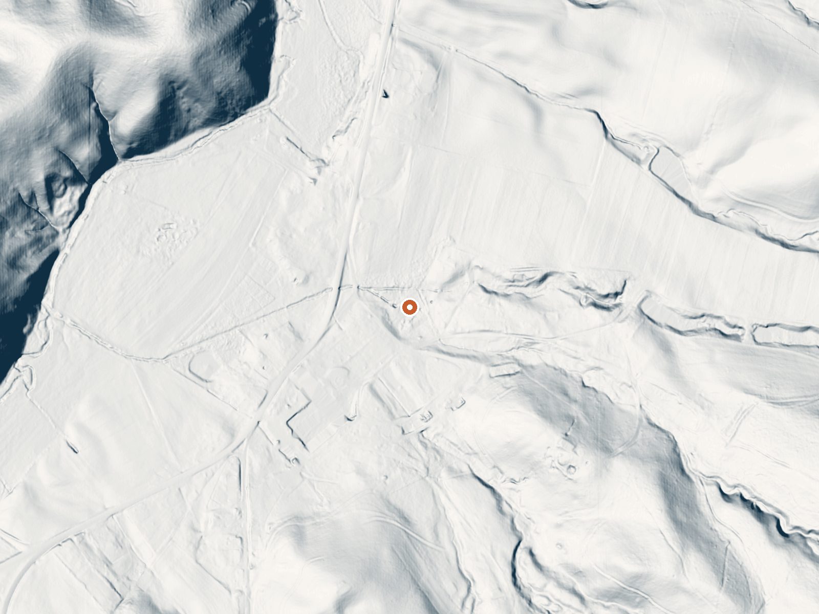
Drag the handle to compare the two views. The orange dot marks the spring, in a frame about three quarters of a mile wide.
- Setting
- Gentle slope
- The ground tilts gently up to the southeast.
- Highest ground nearby
- 122 ft above the spring
- Within a quarter mile, to the southeast
A slice through the ground from northwest to southeast, about 0.6 miles end to end.
Elevation data: USGS 3D Elevation Program. Aerial imagery: USGS The National Map. Public domain.
That's close to the US average of 65. It's higher than at 5% of the springs on this site.
Heat flow measures the warmth working its way up through the ground from deep inside the earth. Where it runs high, rain and snowmelt that seep down through cracks in the rock come back up hot.
See every spring on the geothermal heat map →
Heat flow estimate: Stanford Thermal Earth Model (Aljubran & Horne, 2024), CC BY 4.0.
Some links are affiliate links. We may earn a commission at no extra cost to you.
Overview Steel Bridge Group Campground provides old-fashioned, rustic group camping for those that require few amenities. There are three well shaded camping sites for available for small group camping. Recreation Steel Bridge Group Camping provides old-fashioned, rustic group and family camping. Visitors enjoy splashing in the cool water of Potts Creek that edges the campground. Potts Creek is a stocked trout stream and has a small swimming hole as well as many rock ledges and small falls...
Old Sweet Spring is road-accessible, so you can bring more gear.






As an Amazon Associate, we earn from qualifying purchases.
Springs Near Old Sweet Spring
More Springs Around 73°F
Hike 6 waterfalls near Old Sweet Spring
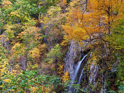
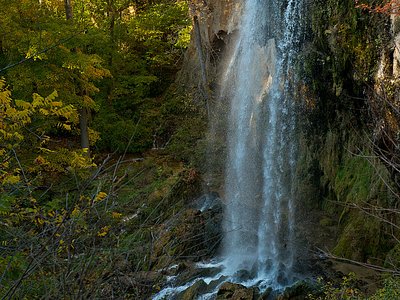
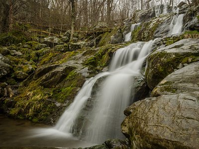
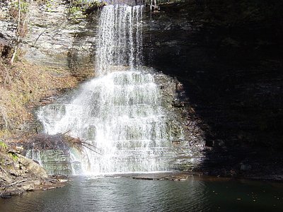
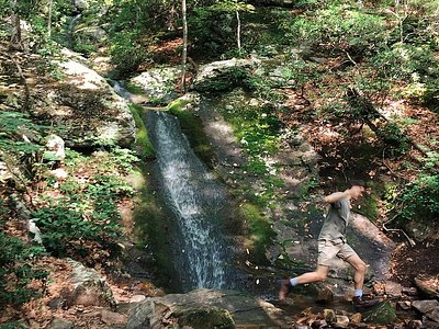
Looking for more outdoor adventures? Explore waterfall hikes near Old Sweet Spring, West Virginia.