Garland Mineral Springs
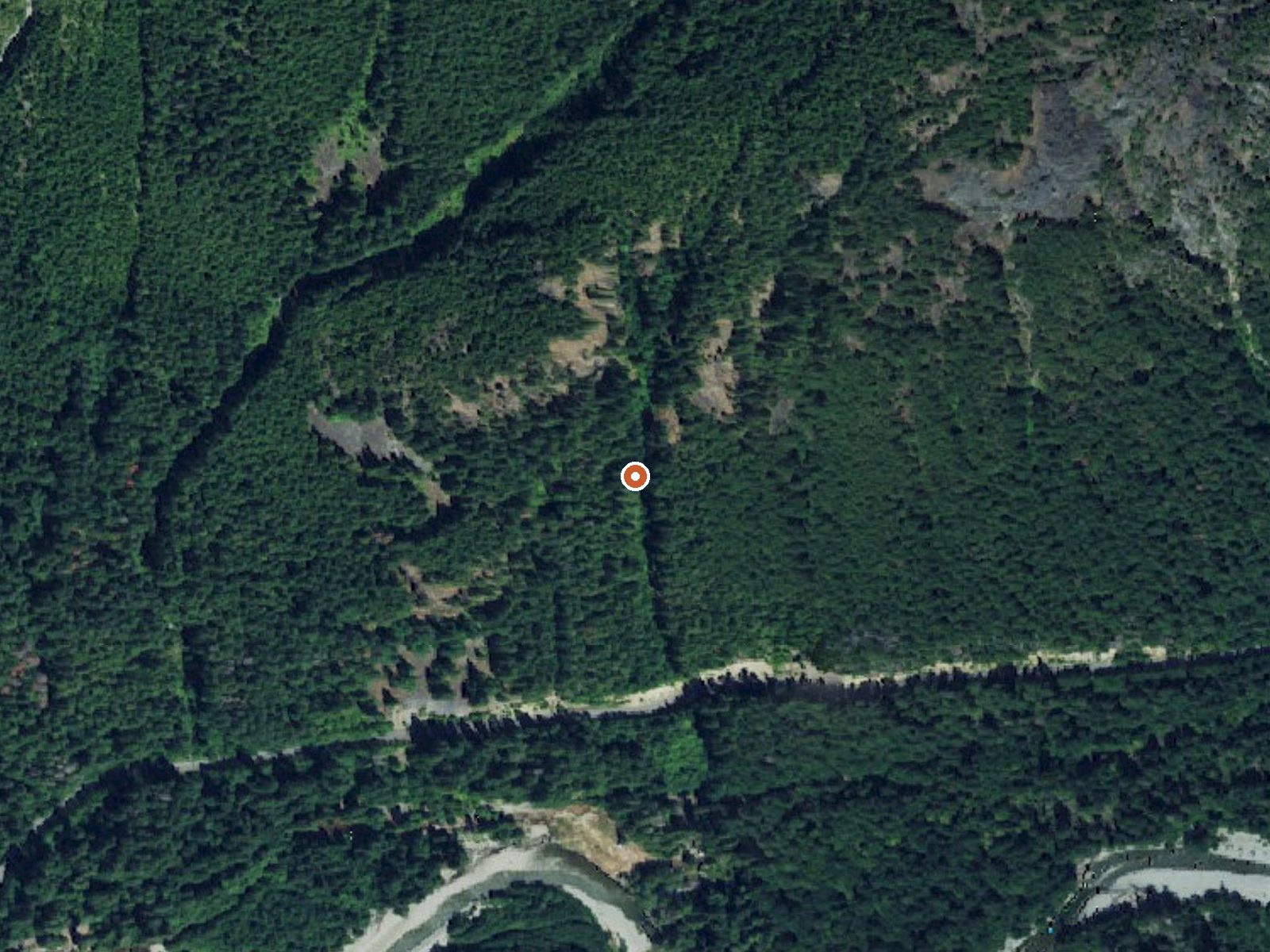
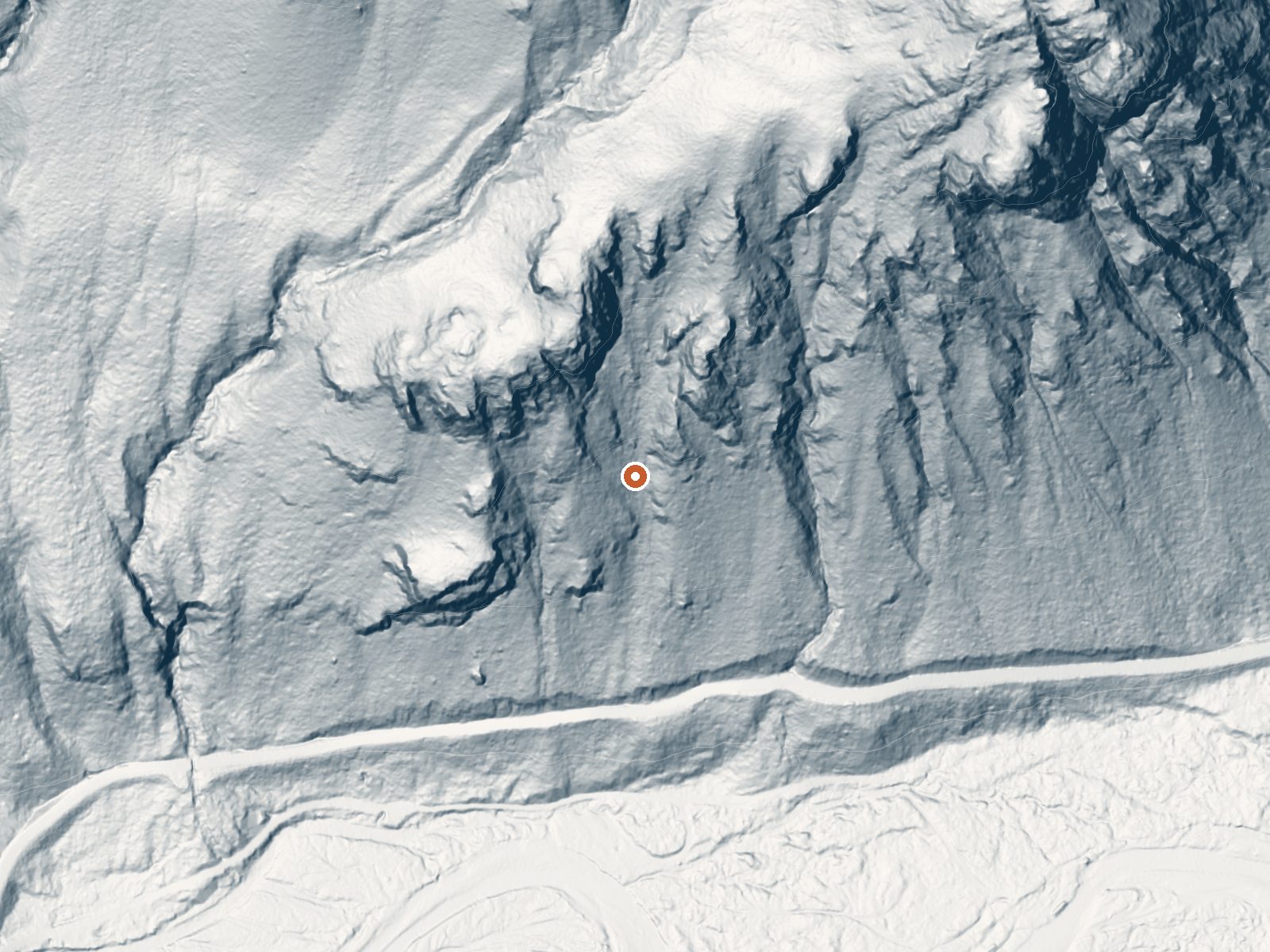
Drag the handle to compare the two views. The orange dot marks the spring, in a frame about three quarters of a mile wide.
Garland Mineral Springs is a warm spring in the Snoqualmie National Forest, Snohomish County, Washington, about sixteen miles from Gold Bar. The water is in the mid eighties. Forest Service land with public access listed as open. A USGS site number is attached. OpenStreetMap carries the same name. San Juan Campground is about a mile away.
From Index-Galena Road it is a short walk, about a tenth of a mile. The elevation is around fifteen hundred feet. This is the wettest and snowiest spring in the batch, about ninety-nine inches of rain and snow a year and over thirty feet of snow. Forest Service land, National Forest designation.
Winter is the rated season, but the snow is extreme, so expect the road to be closed or difficult for months. A short walk from the road. San Juan Campground is about a mile off. Access is open. No chemistry is on file.
Aircraft with laser scanners measured this ground to within inches. The scan strips out trees and buildings, leaving the bare shape of the land around Garland Mineral Springs.
- Setting
- Canyon floor
- Steep ground climbs away on both sides of the spring.
- Highest ground nearby
- 877 ft above the spring
- Within a quarter mile, to the northeast
A slice through the ground from west to east, about 0.6 miles end to end.
Elevation data: USGS 3D Elevation Program. Aerial imagery: USGS The National Map. Public domain.
That's about twice the US average of 65. It's higher than at 66% of the springs on this site.
Heat flow measures the warmth working its way up through the ground from deep inside the earth. Where it runs high, rain and snowmelt that seep down through cracks in the rock come back up hot.
See every spring on the geothermal heat map →
Heat flow estimate: Stanford Thermal Earth Model (Aljubran & Horne, 2024), CC BY 4.0.
A nice combination of sun and shade, this campground offers exploration of the North Fork of the Skykomish river when you're not sitting by the campfire roasting marshmallows.
Springs Near Garland Mineral Springs
More Springs Around 84°F
Hike 6 waterfalls near Garland Mineral Springs
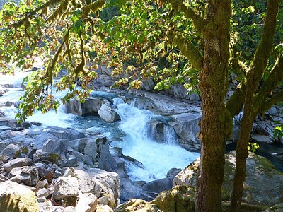
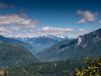
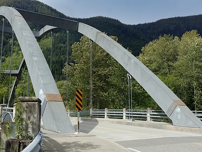
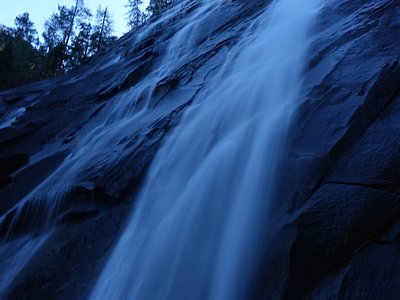
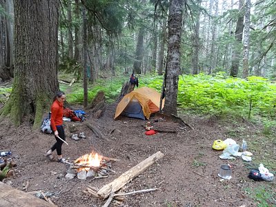
Looking for more outdoor adventures? Explore waterfall hikes near Garland Mineral Springs, Washington.