Goldmeyer Hot Springs
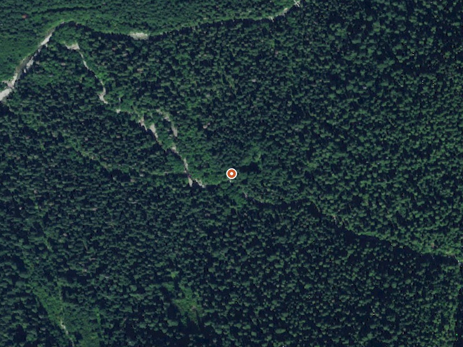
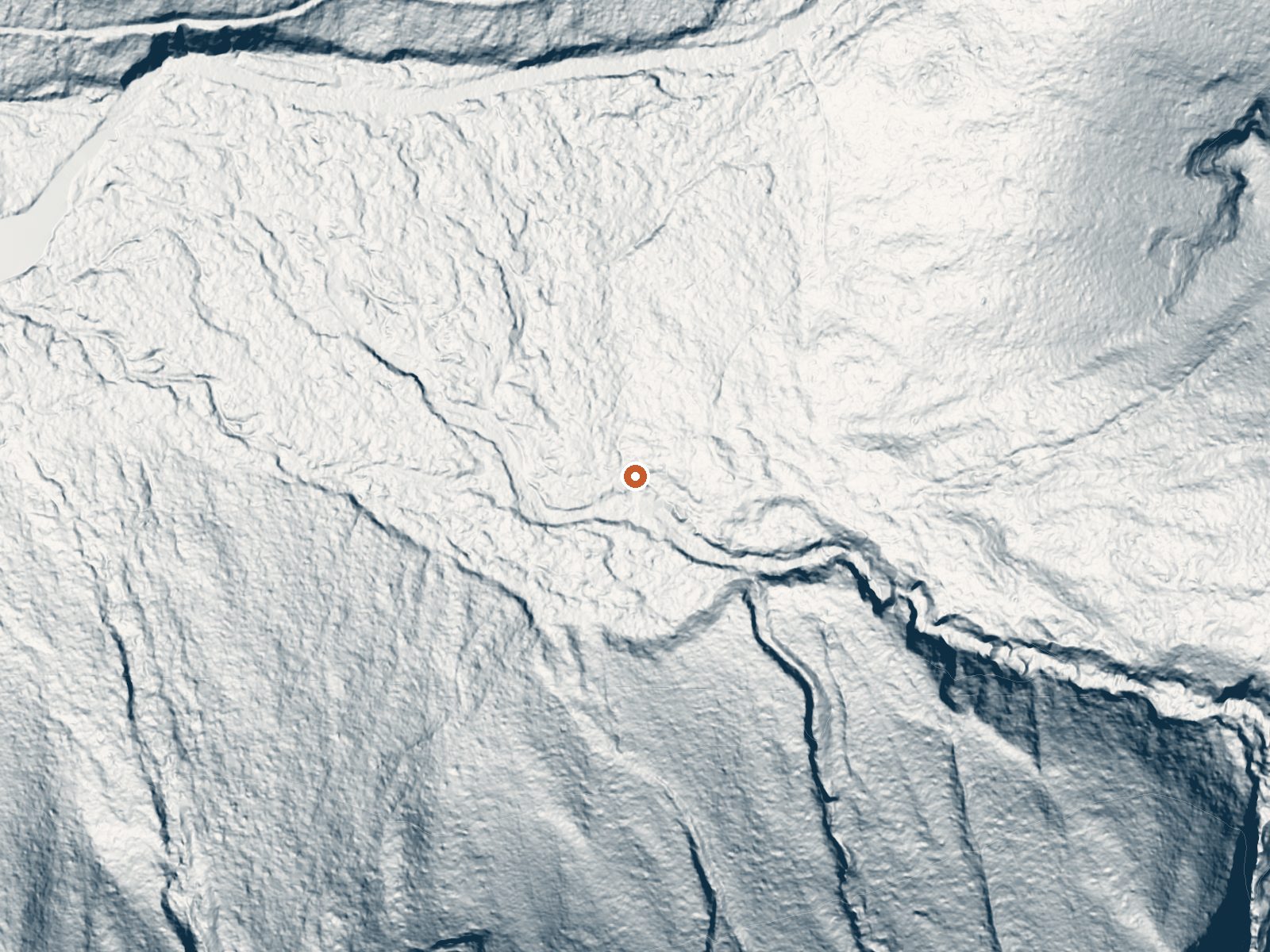
Drag the handle to compare the two views. The orange dot marks the spring, in a frame about three quarters of a mile wide.
Goldmeyer Hot Springs is a hike-in spring in the Cascades of King County, Washington, with Tanner recorded as its closest town. The water comes out hot, past comfortable bath temperature at the source, so any soaking there depends on how much it cools between the vent and wherever you sit. You walk in. A bit over three miles separates the springs from the end of the nearest road, and the record is silent on who owns the land or if visitors are allowed.
The last drivable stretch is National Forest Development Road 9040. From its end the approach is roughly three miles of trail. Elevation is modest, valley country for this range, and the climate numbers describe what kind of valley: something like ninety inches of rain and melt a year, plus a snow total well above twenty feet. Wet most of the year, then buried through the cold months.
Winter, December into February, is when the record rates the soaking highest, which sits oddly against the snowfall on file, so expect the walk to be a very different thing in January than in August. Denny Creek Campground, around five and a half miles down the road, is the only camping the record names. Nothing is recorded for fees or ownership, and nothing about permission either, so settle those before you go. Hot enough to burn at the source. Put a hand in before anything else.
Aircraft with laser scanners measured this ground to within inches. The scan strips out trees and buildings, leaving the bare shape of the land around Goldmeyer Hot Springs.
- Setting
- Hillside
- The spring sits on a steep slope that climbs to the south.
- Highest ground nearby
- 441 ft above the spring
- Within a quarter mile, to the south
A slice through the ground from north to south, about 0.6 miles end to end.
Elevation data: USGS 3D Elevation Program. Aerial imagery: USGS The National Map. Public domain.
That's about 1½ times the US average of 65. It's higher than at 61% of the springs on this site.
Heat flow measures the warmth working its way up through the ground from deep inside the earth. Where it runs high, rain and snowmelt that seep down through cracks in the rock come back up hot.
See every spring on the geothermal heat map →
Heat flow estimate: Stanford Thermal Earth Model (Aljubran & Horne, 2024), CC BY 4.0.
Some links are affiliate links. We may earn a commission at no extra cost to you.
Overview Situated near the south fork of the Snoqualmie River in Mt. Baker-Snoqualmie National Forest, Denny Creek Campground offers visitors stunning scenery and easy access to an abundance of recreational activities in the Northern Cascade Range. Campsites sit beneath a canopy of forest, and a few are sprinkled at the banks of Lodge Creek, which flows into the Snoqualmie.Recreation In addition to being a prime location for hiking, fishing, picnicking and horseback riding in summer and earl...
Goldmeyer Hot Springs is road-accessible, so you can bring more gear. The water runs hot, so extra hydration is key.





As an Amazon Associate, we earn from qualifying purchases.
Springs Near Goldmeyer Hot Springs
More Springs Around 127°F
Hike 6 waterfalls near Goldmeyer Hot Springs
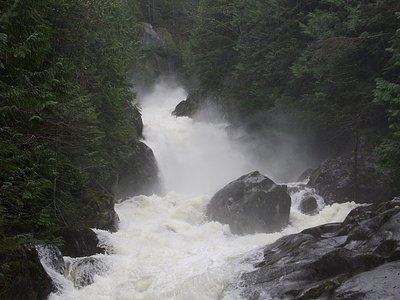
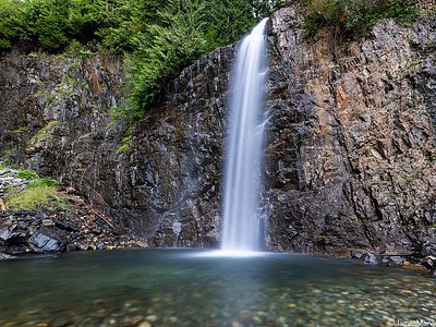
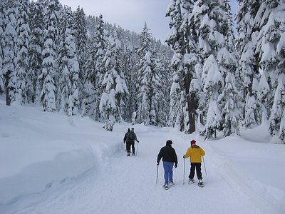
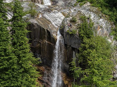
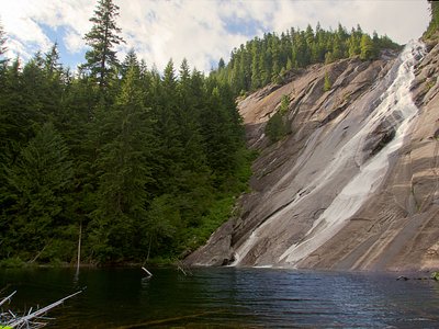
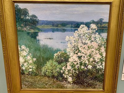
Looking for more outdoor adventures? Explore waterfall hikes near Goldmeyer Hot Springs, Washington.