Lester Hot Springs
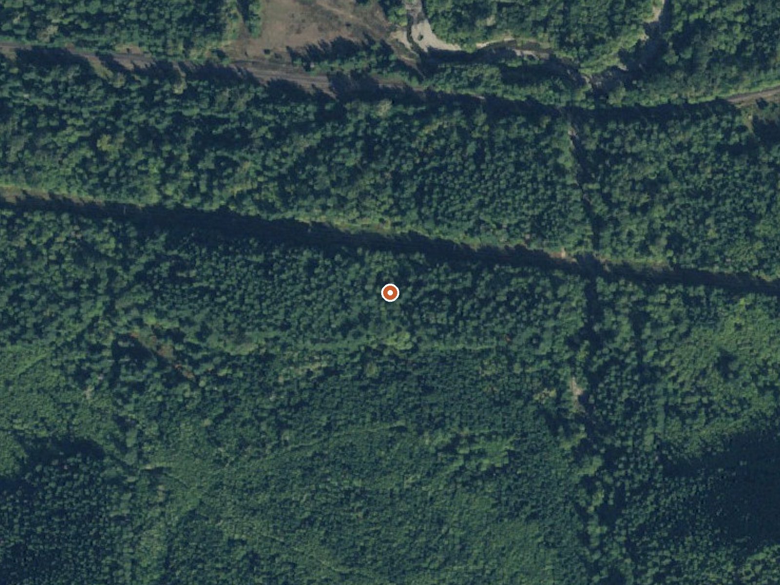
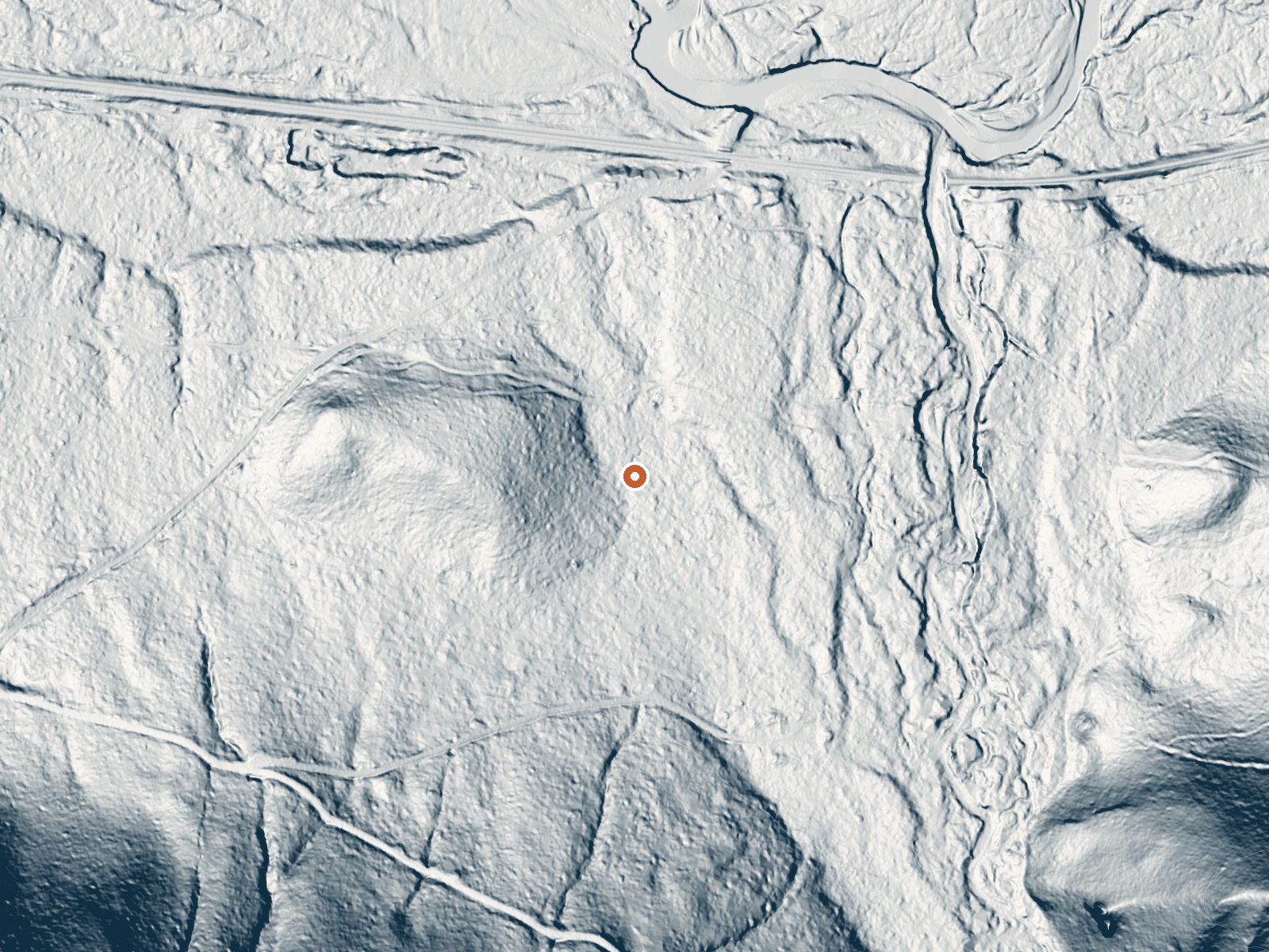
Drag the handle to compare the two views. The orange dot marks the spring, in a frame about three quarters of a mile wide.
Lester Hot Springs is inside the City of Tacoma's watershed in King County, Washington, and access is listed as restricted. That is the fact that matters. The water reading on file is hot, above comfortable soaking temperature at the source. Riverbend is the town the record puts closest, around twenty miles away.
Only about five hundred feet from a road, by the record, though that road has no name in the record and the land is municipal watershed property with a local conservation designation. Low elevation, Cascade foothills, wet climate, and snow that piles up in winter. The record marks access as restricted.
Do not plan a soak here without confirming permission with the City of Tacoma, since the watershed is marked restricted in the record. The Dalles Campground, about nine miles away, is where the record says to camp. Winter shows up as the best time on file. It is hot enough to hurt if you reached it. Test before touching.
Aircraft with laser scanners measured this ground to within inches. The scan strips out trees and buildings, leaving the bare shape of the land around Lester Hot Springs.
- Setting
- Gentle slope
- The ground tilts gently up to the south.
- Highest ground nearby
- 166 ft above the spring
- Within a quarter mile, to the south
A slice through the ground from south to north, about 0.6 miles end to end.
Elevation data: USGS 3D Elevation Program. Aerial imagery: USGS The National Map. Public domain.
That's about 1½ times the US average of 65. It's higher than at 30% of the springs on this site.
Heat flow measures the warmth working its way up through the ground from deep inside the earth. Where it runs high, rain and snowmelt that seep down through cracks in the rock come back up hot.
See every spring on the geothermal heat map →
Heat flow estimate: Stanford Thermal Earth Model (Aljubran & Horne, 2024), CC BY 4.0.
Overview Situated on the banks of the White River in Mt. Baker-Snoqualmie National Forest, Dalles Campground offers visitors stunning scenery and access to a multitude of recreational activities within the Cascade region. Scattered beneath a towering canopy of diverse forest, the sites in this campground are widely-spaced and many are at the water's edge.Recreation Hiking and fishing top the list of recreational activities in the area. For visitors wanting a glimpse at the wonders of the...
Springs Near Lester Hot Springs
More Springs Around 120°F
Hike 6 waterfalls near Lester Hot Springs
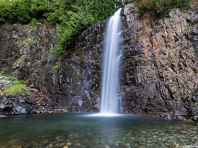
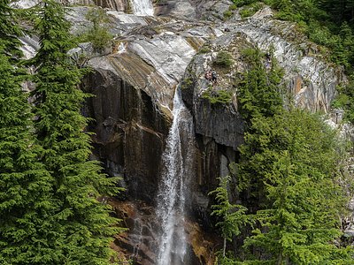
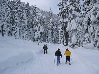

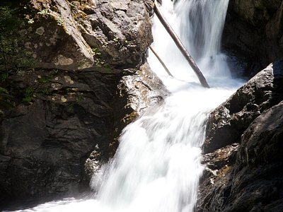
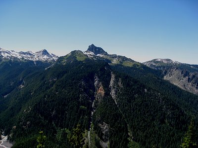
Looking for more outdoor adventures? Explore waterfall hikes near Lester Hot Springs, Washington.