Longmire Mineral Springs
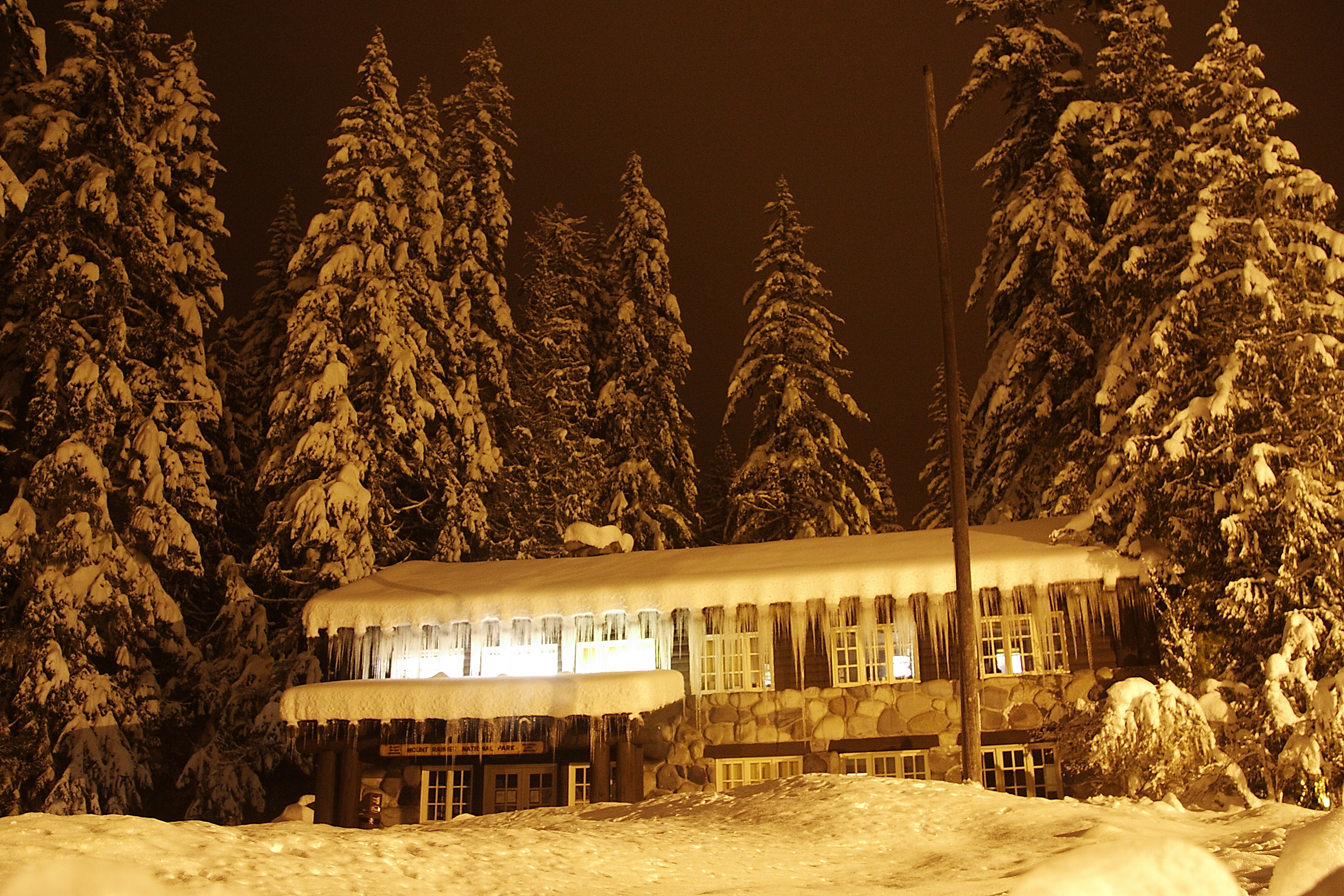
Longmire Mineral Springs are a cluster of mineral seeps inside Mount Rainier National Park, Pierce County, Washington. The reading on file puts them in the high seventies, warm to the hand and nothing more. This is a spring to look at. Access is open, and the closest town in the record, Buckley, is about thirty miles off.
The springs sit a few hundred feet off the Longmire-to-Paradise Road, on National Park Service land. Elevation is moderate, under three thousand feet, on the lower part of the mountain. The climate is the wettest kind: ninety inches of precipitation with a winter snowpack measured in hundreds of inches, according to the record.
Cougar Rock Campground is about a mile and a half away. Winter months are rated best on file, but the Longmire-to-Paradise Road sees heavy snow, so check if the park has it open. National park rules apply. The chemistry sample, from 1983, found the water mildly acidic with iron and sulfate present. No burn risk at these temperatures.
Longmire sits within Mount Rainier National Park, and USGS holds a site record for the springs that includes a water sample from September 1983.
Aircraft with laser scanners measured this ground to within inches. The scan strips out trees and buildings, leaving the bare shape of the land around Longmire Mineral Springs.
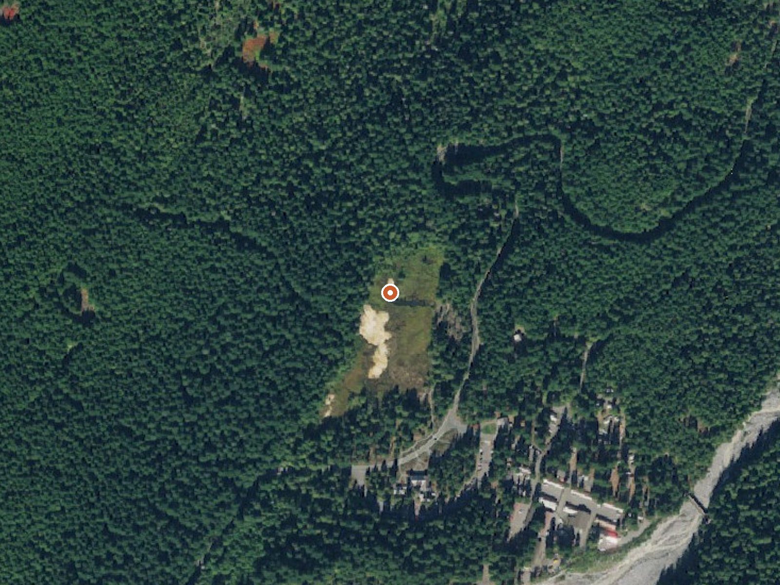
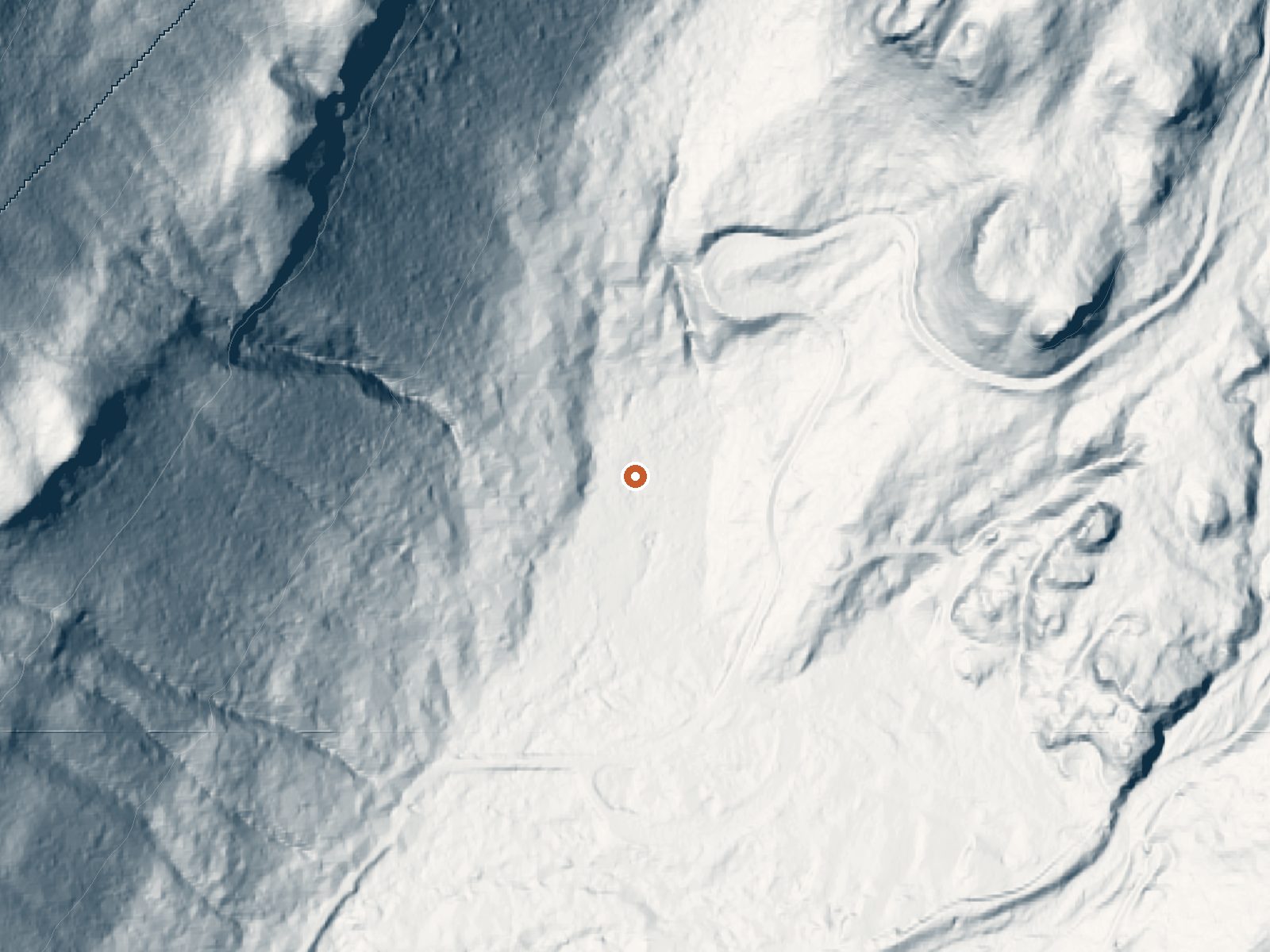
Drag the handle to compare the two views. The orange dot marks the spring, in a frame about three quarters of a mile wide.
- Setting
- Hillside
- The spring sits on a steep slope that climbs to the northwest.
- Highest ground nearby
- 577 ft above the spring
- Within a quarter mile, to the northwest
A slice through the ground from northwest to southeast, about 0.6 miles end to end.
Elevation data: USGS 3D Elevation Program. Aerial imagery: USGS The National Map. Public domain.
That's about 1½ times the US average of 65. It's higher than at 43% of the springs on this site.
Heat flow measures the warmth working its way up through the ground from deep inside the earth. Where it runs high, rain and snowmelt that seep down through cracks in the rock come back up hot.
See every spring on the geothermal heat map →
Heat flow estimate: Stanford Thermal Earth Model (Aljubran & Horne, 2024), CC BY 4.0.
The water at Longmire Mineral Springs is slightly acidic (pH 5.8). It is notably rich in calcium (may support bone density and joint health), magnesium (known for muscle relaxation and stress relief), and sodium (supports circulation and skin hydration).
Some links are affiliate links. We may earn a commission at no extra cost to you.
Overview Cougar Rock Campground, on the southwest side of Mt. Rainier National Park, is conveniently located near Paradise. Individual campsites are reservable on this page. Group campsite reservations can be made via Cougar Rock Group Campground. Paradise is the most popular destination in the park, with a lodge and visitor center, many miles of hiking trails and a commanding view of the mountain-the highest in the state and Cascade range. The main attraction at Mount Rainier National Park...
Longmire Mineral Springs is road-accessible, so you can bring more gear.






As an Amazon Associate, we earn from qualifying purchases.
Springs Near Longmire Mineral Springs
More Springs Around 77°F
Slightly Acidic Springs (pH ~5.8)
Hike 6 waterfalls near Longmire Mineral Springs
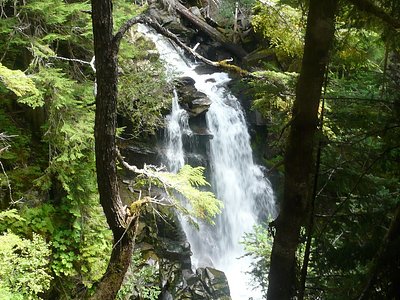
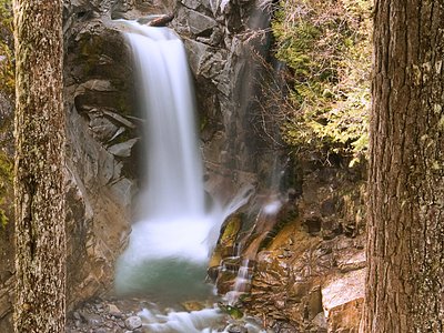
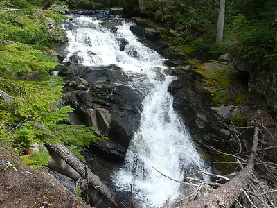
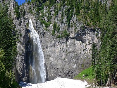
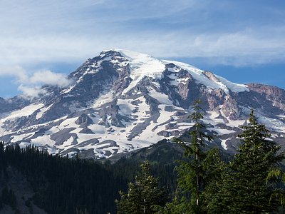
Looking for more outdoor adventures? Explore waterfall hikes near Longmire Mineral Springs, Washington.