Orr Creek Warm Springs
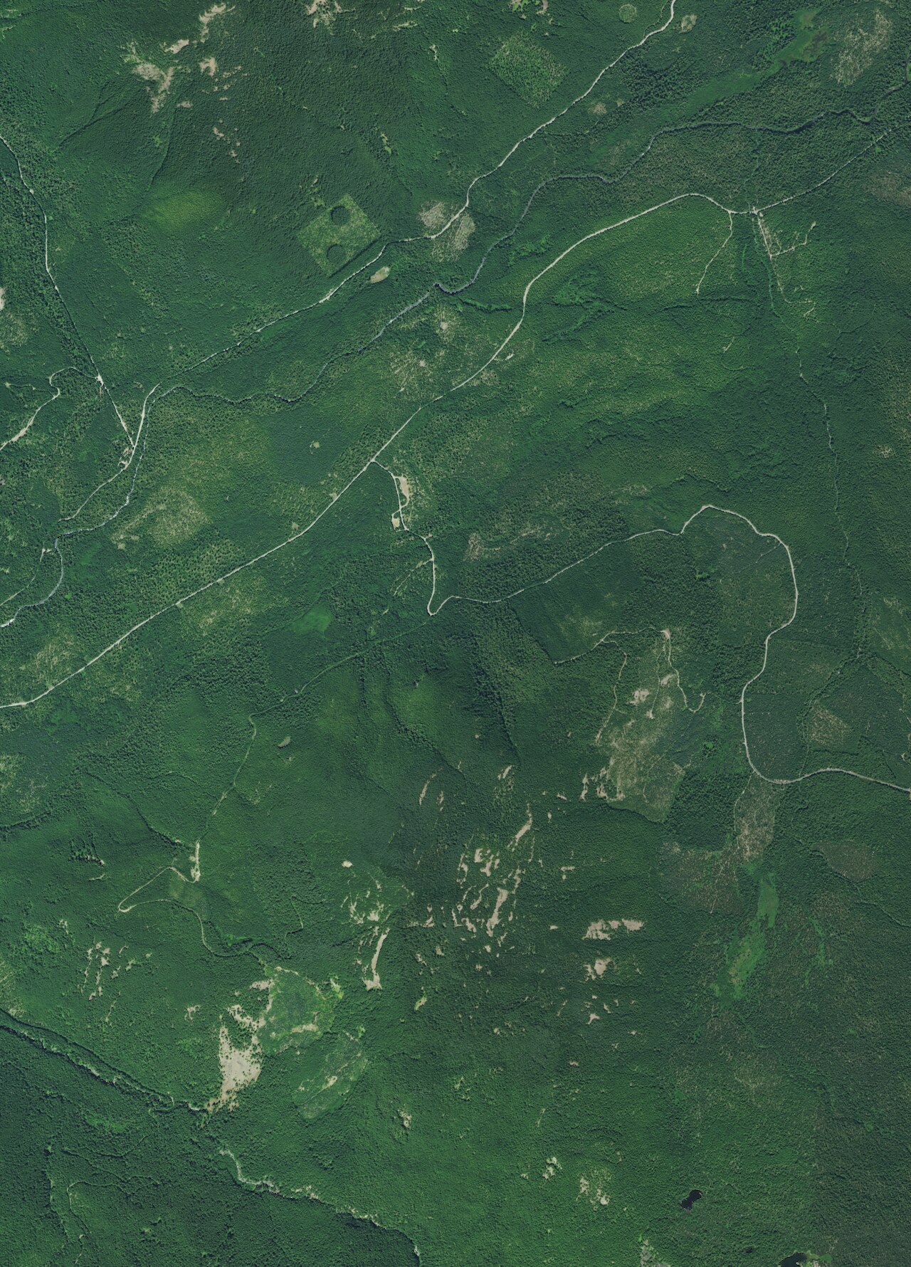
Orr Creek Warm Springs is a warm seep in Gifford Pinchot National Forest, Klickitat County, Washington, a long way from anywhere: White Salmon, the town on record, is over forty miles off. Low seventies on file, tepid, which rules out a proper soak. Access is open. The road gets you close.
Forest Road 5603-017 comes within a tenth of a mile. Elevation is a little under three thousand feet, high enough that the snowfall on file, well over two hundred inches, matters for timing. Forest Service ground, no fee in the record. Precipitation is substantial.
Adams Fork Campground is two miles and a bit away, close enough to make this a side trip from camp. Winter is the recommended stretch per the record, but forest roads under this much snow are a real question; ask the ranger district. The water is tepid. No burn risk, and no reason to expect a hot pool.
Aircraft with laser scanners measured this ground to within inches. The scan strips out trees and buildings, leaving the bare shape of the land around Orr Creek Warm Springs.
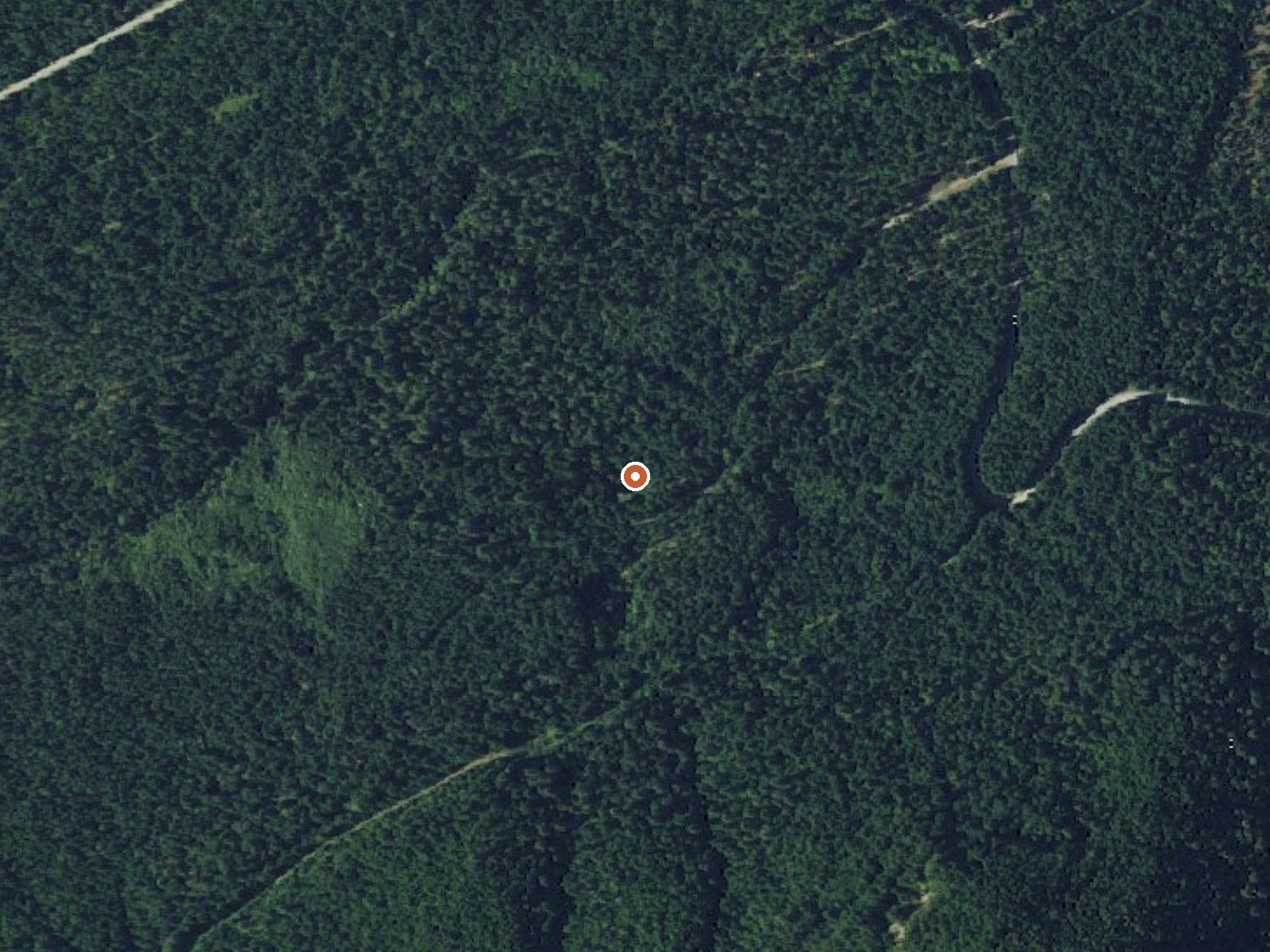
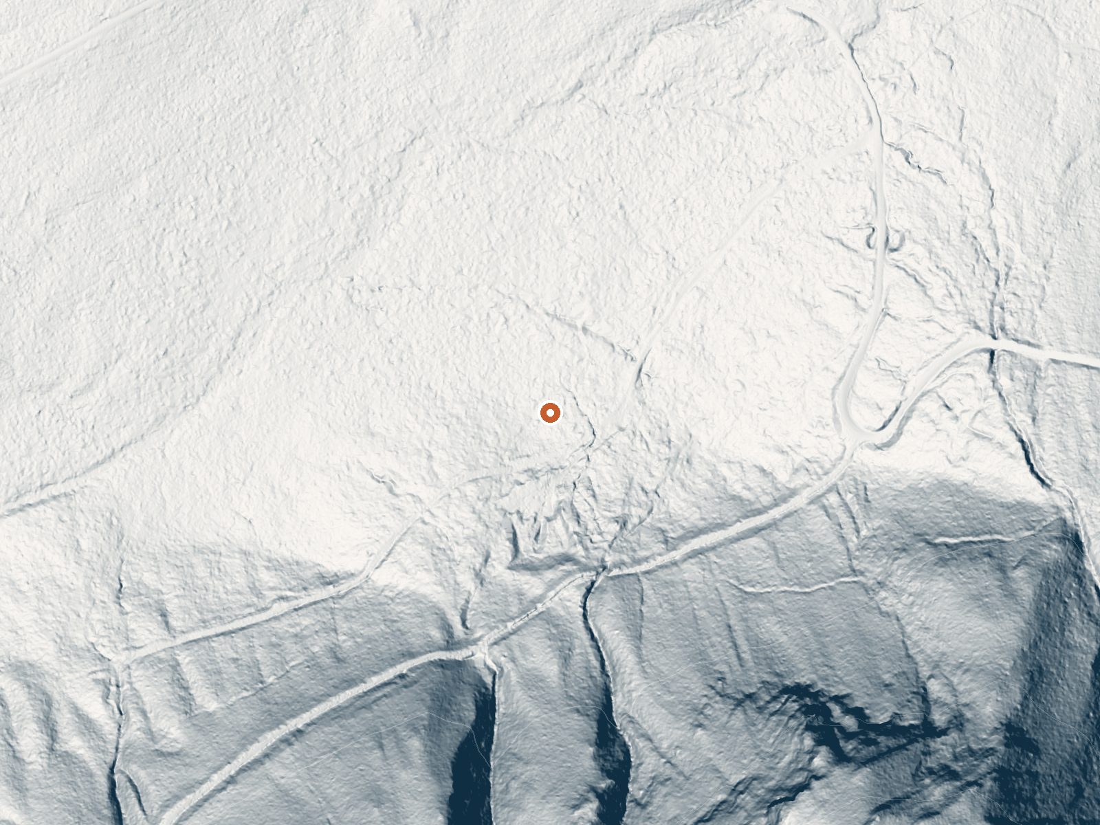
Drag the handle to compare the two views. The orange dot marks the spring, in a frame about three quarters of a mile wide.
- Setting
- Hillside
- The spring sits on a steep slope that climbs to the south.
- Highest ground nearby
- 557 ft above the spring
- Within a quarter mile, to the south
A slice through the ground from north to south, about 0.6 miles end to end.
Elevation data: USGS 3D Elevation Program. Aerial imagery: USGS The National Map. Public domain.
That's about 1½ times the US average of 65. It's higher than at 38% of the springs on this site.
Heat flow measures the warmth working its way up through the ground from deep inside the earth. Where it runs high, rain and snowmelt that seep down through cracks in the rock come back up hot.
See every spring on the geothermal heat map →
Heat flow estimate: Stanford Thermal Earth Model (Aljubran & Horne, 2024), CC BY 4.0.
Some links are affiliate links. We may earn a commission at no extra cost to you.
Overview Nestled among tall conifers on the Adams Creek Fork of the Cispus River, Adams Fork Campground offers single sites for tent and RV camping, as well as three double sites, with several of the sites sitting along the banks of the river. Adams Fork Campground makes an excellent base from which to explore Mount St. Helens and the surrounding area. Nearby multi-use trails offer a myriad of recreational activities, in addition to trout fishing in the Cispus River. Recreation Part of the Ra...
Orr Creek Warm Springs is road-accessible, so you can bring more gear.






As an Amazon Associate, we earn from qualifying purchases.
Springs Near Orr Creek Warm Springs
More Springs Around 72°F
Hike 6 waterfalls near Orr Creek Warm Springs
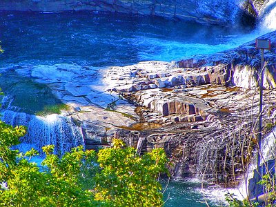
Looking for more outdoor adventures? Explore waterfall hikes near Orr Creek Warm Springs, Washington.