Mount Adams Fumaroles
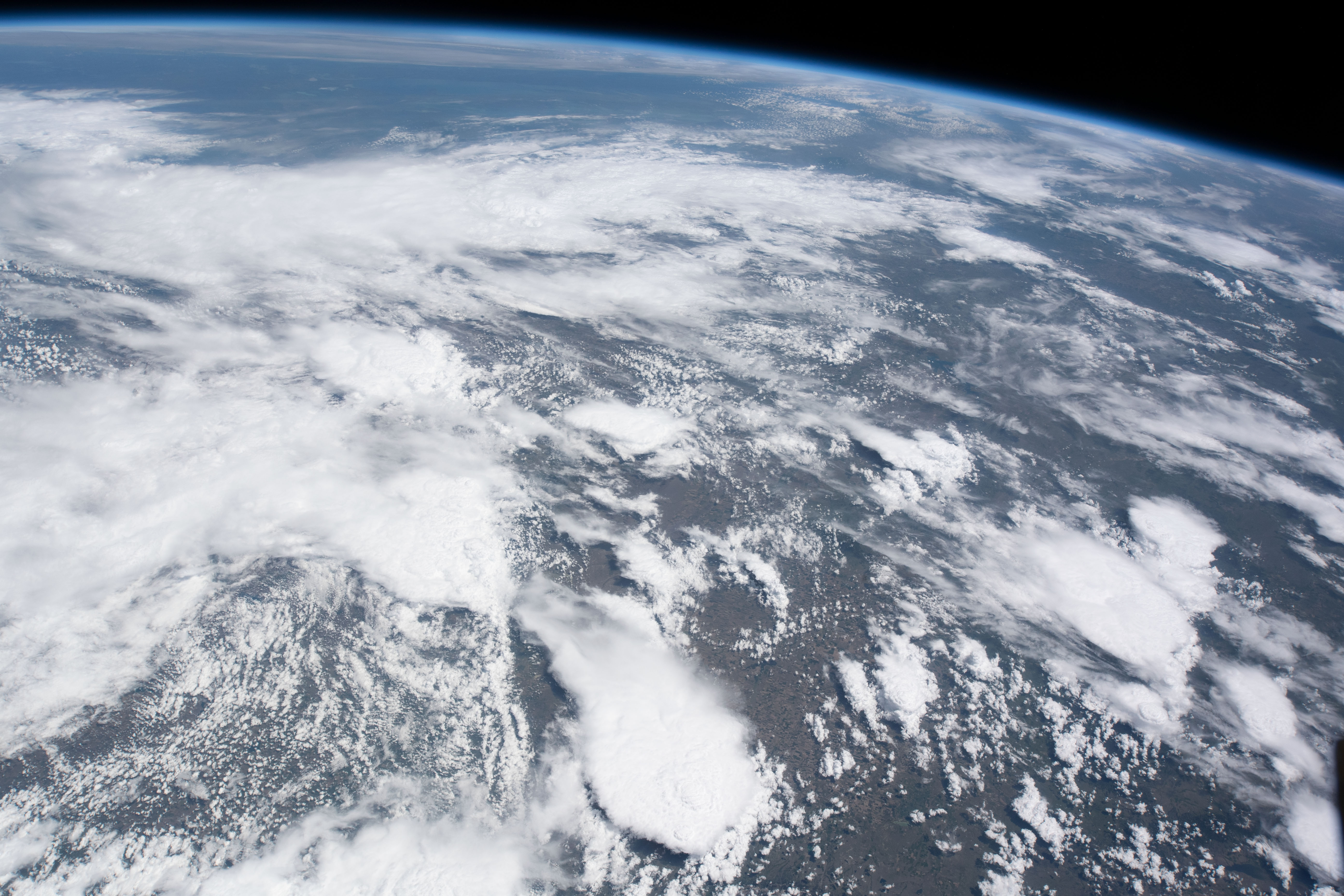
These are fumaroles, steam vents high on Mount Adams, and nothing about them is a soak. The temperature given is scalding, and the altitude is over twelve thousand feet in Klickitat County's Gifford Pinchot National Forest. White Salmon, the town listed, is more than thirty miles away. Access is listed as open, which for a summit means the mountain is public land. How you get up there is not on record.
the nearest road on record says South Climb, which at twelve thousand feet is a name for a route up the mountain, and the record puts the vents within a few dozen feet of it. Average temperature is well below freezing and snowfall runs to three hundred inches. Precipitation is high too. This is the summit zone of a volcano.
Do not treat this as a hot springs trip. December through February are rated best, which for a summit this high should be taken with care. Takhlakh Lake Campground, seven or eight miles distant, is the nearest camping listed. The vents are scalding. Steam this hot burns skin.
Aircraft with laser scanners measured this ground to within inches. The scan strips out trees and buildings, leaving the bare shape of the land around Mount Adams Fumaroles.
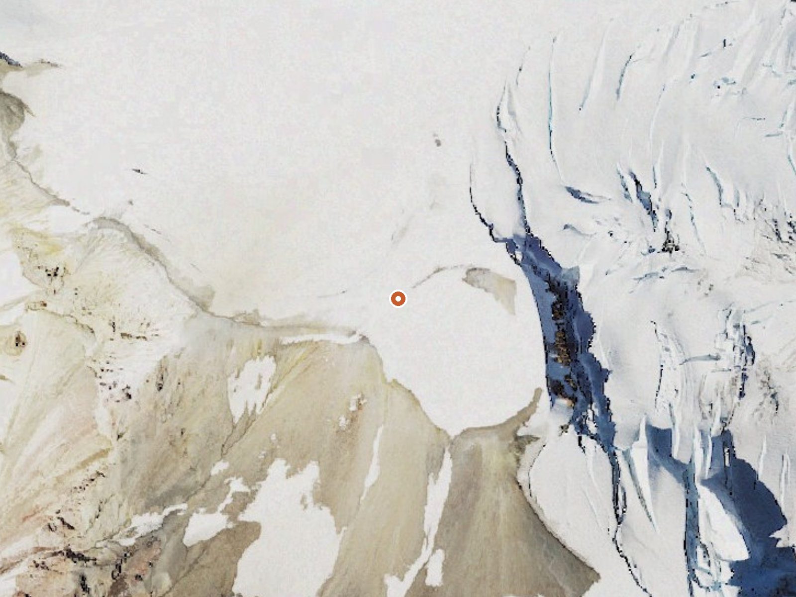
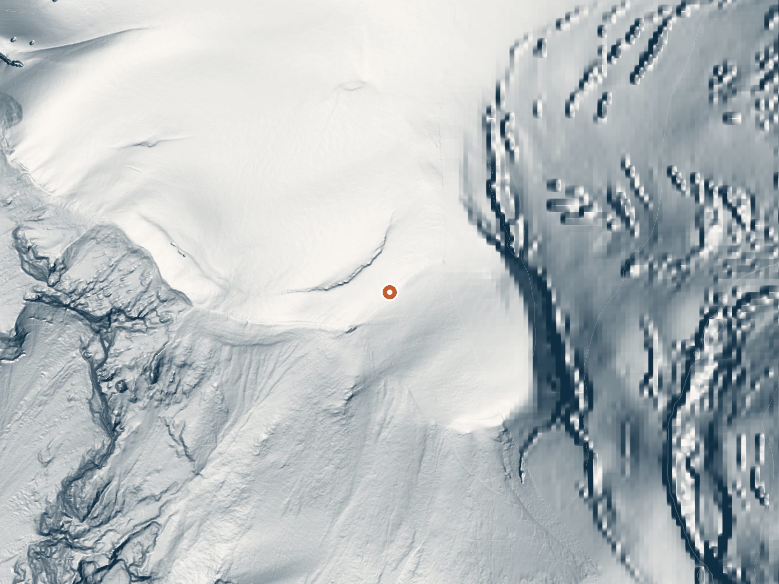
Drag the handle to compare the two views. The orange dot marks the spring, in a frame about three quarters of a mile wide.
- Setting
- Open ground
- Flat, open ground all around.
- Highest ground nearby
- 5 ft above the spring
- Within a quarter mile, to the east
A slice through the ground from northwest to southeast, about 0.6 miles end to end.
Elevation data: USGS 3D Elevation Program. Aerial imagery: USGS The National Map. Public domain.
That's close to the US average of 65. It's higher than at 6% of the springs on this site.
Heat flow measures the warmth working its way up through the ground from deep inside the earth. Where it runs high, rain and snowmelt that seep down through cracks in the rock come back up hot.
See every spring on the geothermal heat map →
Heat flow estimate: Stanford Thermal Earth Model (Aljubran & Horne, 2024), CC BY 4.0.
Some links are affiliate links. We may earn a commission at no extra cost to you.
Overview Takhlakh Lake Campground sits at an elevation of 4,400 feet in a well-shaded location next to its namesake lake. The campground sits at the base of Mt. Adams, providing visitors with incredible views in every direction. The campground has a short season, but it's a particularly popular destination for hikers exploring the trails around Mt. Adams. Recreation The campsite offers access to the Takhlakh Loop, an accessible trail suitable for all ages and skill levels and the Takhlakh Me...
Mount Adams Fumaroles sits at 12,269 feet, well above 10,000 ft, where the air holds roughly 30% less oxygen than at sea level. Altitude sickness (headache, nausea, dizziness) is a real risk, especially when combined with the dehydrating effects of hot water. UV exposure is approximately 49% stronger than at sea level. Acclimate for at least 24 hours before soaking, drink extra water, and descend if symptoms worsen.




As an Amazon Associate, we earn from qualifying purchases.
Mount Adams Fumaroles is road-accessible, so you can bring more gear. The water is dangerously hot, so bring water shoes and test pools carefully. Cold air temperatures make a changing robe or warm layers essential.





As an Amazon Associate, we earn from qualifying purchases.
Springs Near Mount Adams Fumaroles
More Springs Around 150°F
Hike 6 waterfalls near Mount Adams Fumaroles
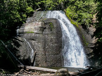
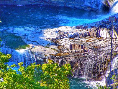
Looking for more outdoor adventures? Explore waterfall hikes near Mount Adams Fumaroles, Washington.