Klickitat Mineral Springs
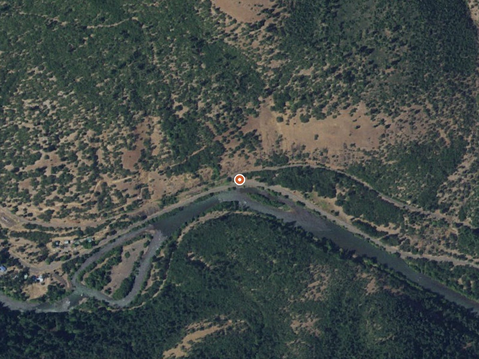
The orange dot marks the spring, in a frame about three quarters of a mile wide.
Klickitat Mineral Springs is a roadside mineral spring in Klickitat County, Washington, thirteen miles or so from Dallesport. The water, per the record, is warm, low eighties, fine for wading and short of a hot soak. The land is a state conservation area called Mineral Springs, with the owner listed as SFW. Public access is recorded as open, and the spring sits within forty feet of a state highway.
State Route 142 runs right past the springs. Park and you are there. It sits low, under five hundred feet, in comparatively dry country: thirty inches or so of annual precipitation and a modest snow total in a normal year. The conservation area designation means state land rules apply.
December through February come out on top in the record, and snow here is light. Oklahoma Campground, the only camping listed, is a fair drive, roughly twenty-four miles. No fee or bath type is recorded. Warm water only, no burn risk. Check current state conservation area rules before visiting.
The site is a designated State Conservation Area under the unit name Mineral Springs, with the land owner recorded as SFW.
USGS hasn't flown a detailed laser scan here yet, so this view comes from aerial photos and older elevation data.
- Setting
- Canyon floor
- Steep ground climbs away on both sides of the spring.
- Highest ground nearby
- 666 ft above the spring
- Within a quarter mile, to the north
A slice through the ground from south to north, about 0.6 miles end to end.
Elevation data: USGS 3D Elevation Program. Aerial imagery: USGS The National Map. Public domain.
That's close to the US average of 65. It's higher than at 13% of the springs on this site.
Heat flow measures the warmth working its way up through the ground from deep inside the earth. Where it runs high, rain and snowmelt that seep down through cracks in the rock come back up hot.
See every spring on the geothermal heat map →
Heat flow estimate: Stanford Thermal Earth Model (Aljubran & Horne, 2024), CC BY 4.0.
Some links are affiliate links. We may earn a commission at no extra cost to you.
Overview Oklahoma Campground is nestled in a lush grove of large hemlock, cedar, maple and fir trees alongside the Little White Salmon River, near the Columbia River Gorge. The campground is flat and is ideal for smaller groups to camp in clusters. Recreation Big Lava Bed is located just west of the campground. The trail takes hikers through a landscape marked by basalt lava formations and pine forest. The multi-use Monte Carlo Trail is also nearby and can be enjoyed by hikers, mountain bike...
Klickitat Mineral Springs is road-accessible, so you can bring more gear.






As an Amazon Associate, we earn from qualifying purchases.
Springs Near Klickitat Mineral Springs
More Springs Around 81°F
Hike 6 waterfalls near Klickitat Mineral Springs
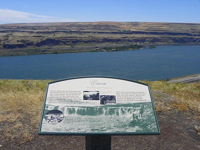
Looking for more outdoor adventures? Explore waterfall hikes near Klickitat Mineral Springs, Washington.