Ohanapecosh Hot Springs
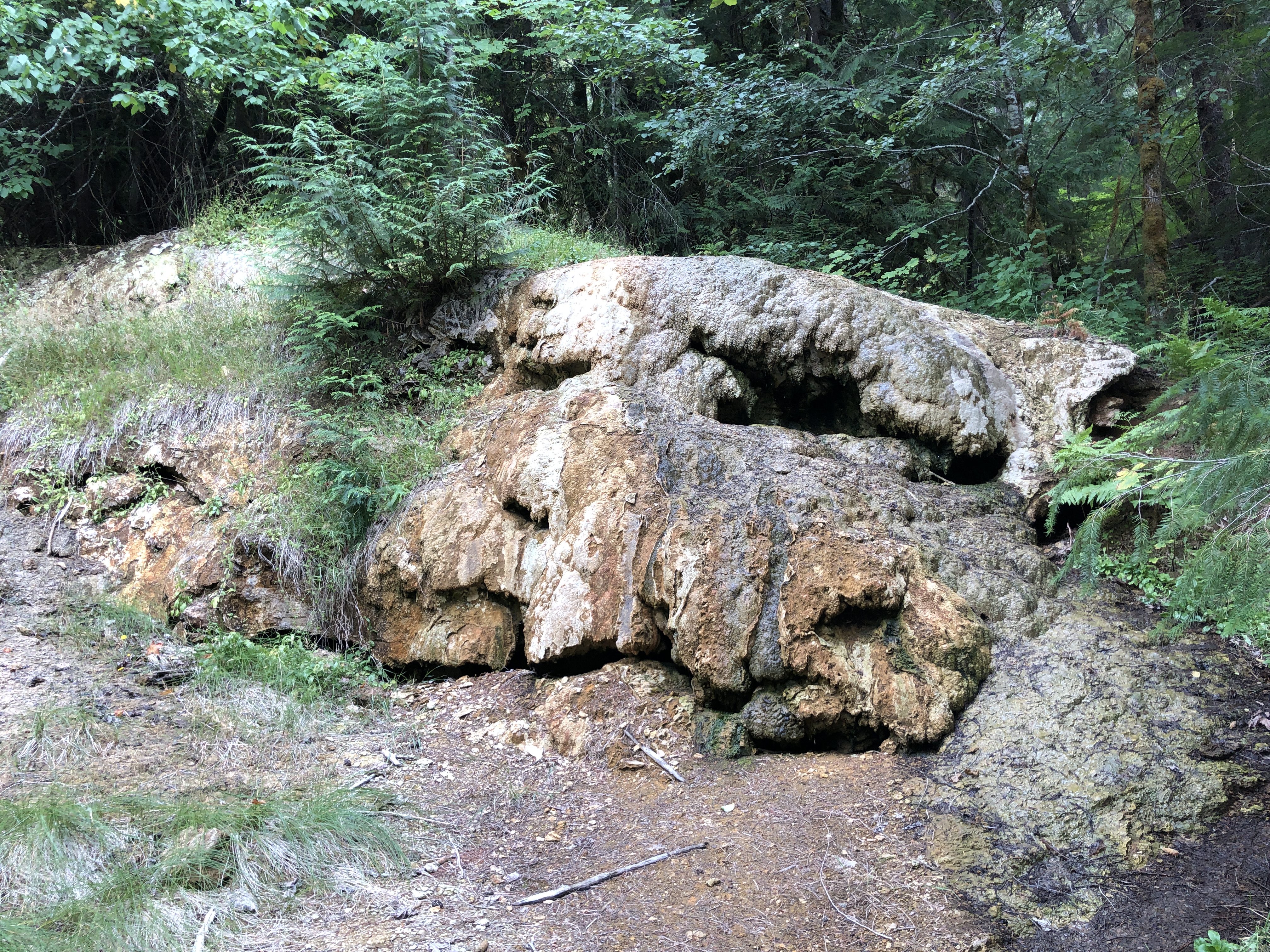
Ohanapecosh Hot Springs is a set of hot seeps in Mount Rainier National Park, a short distance off State Route 123. The water listed is hot, above a safe soaking temperature at its source. Access is open, though as park land it comes with park rules. The campground of the same name is a bit over half a mile away.
Low elevation for the park, under two thousand feet, in a wet spot where the climate record shows seventy-five inches of precipitation while snowfall reaches the hundreds of inches. Roadside access: the record puts the springs under three hundred feet from the highway. National Park Service land. OpenStreetMap lists the same name, so there is no naming confusion here.
Camp at Ohanapecosh Campground, about half a mile away on the record. The recorded best window runs December through February, and the snowfall total is heavy, so confirm State Route 123 is open. The water is hot enough to burn. The chemistry on file comes from a 1983 sample and shows a slightly acidic reading with iron and sulfate among the minerals.
A USGS site number exists for the springs, sampled in September 1983. The land is Mount Rainier National Park.
Aircraft with laser scanners measured this ground to within inches. The scan strips out trees and buildings, leaving the bare shape of the land around Ohanapecosh Hot Springs.
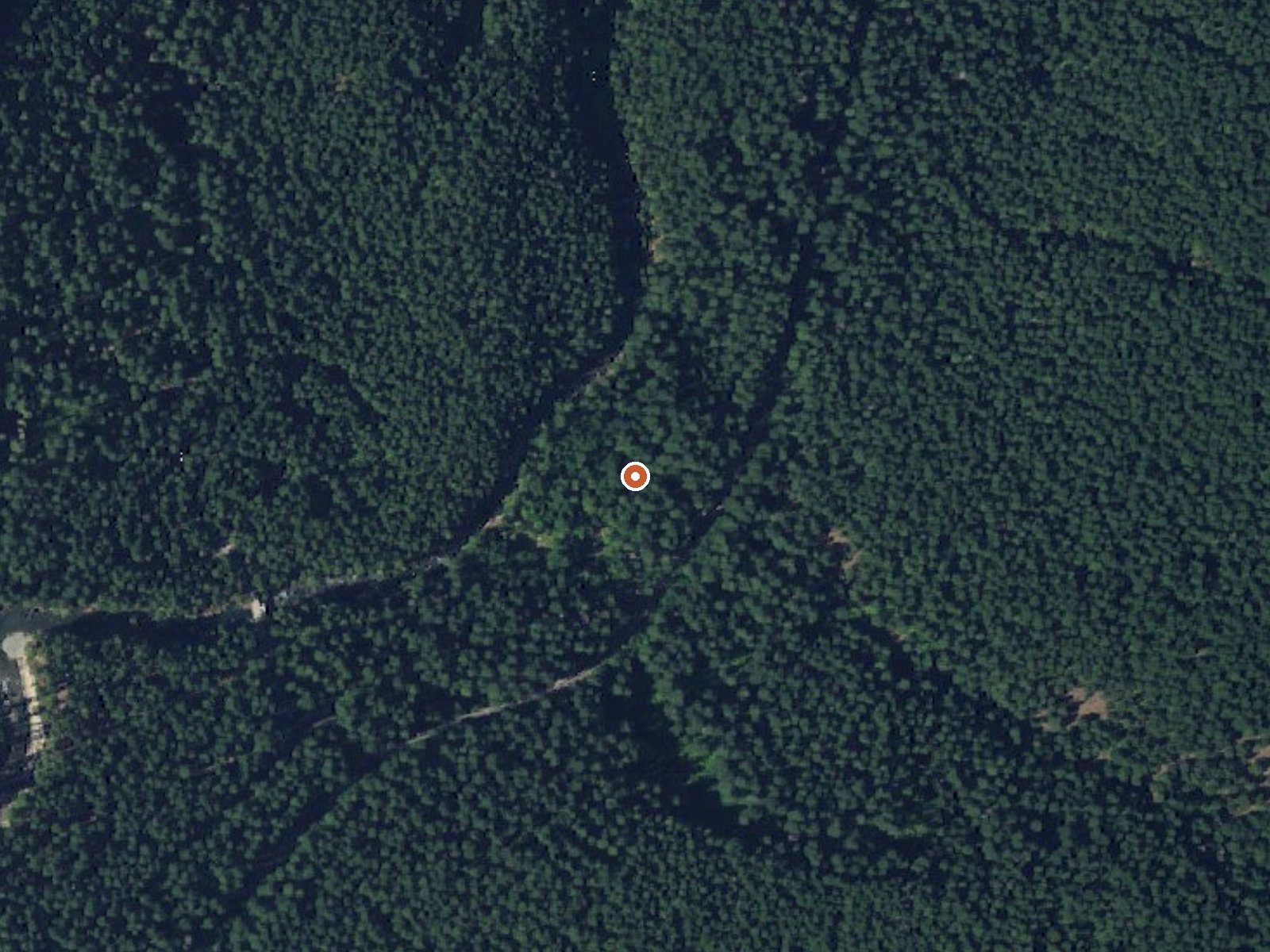
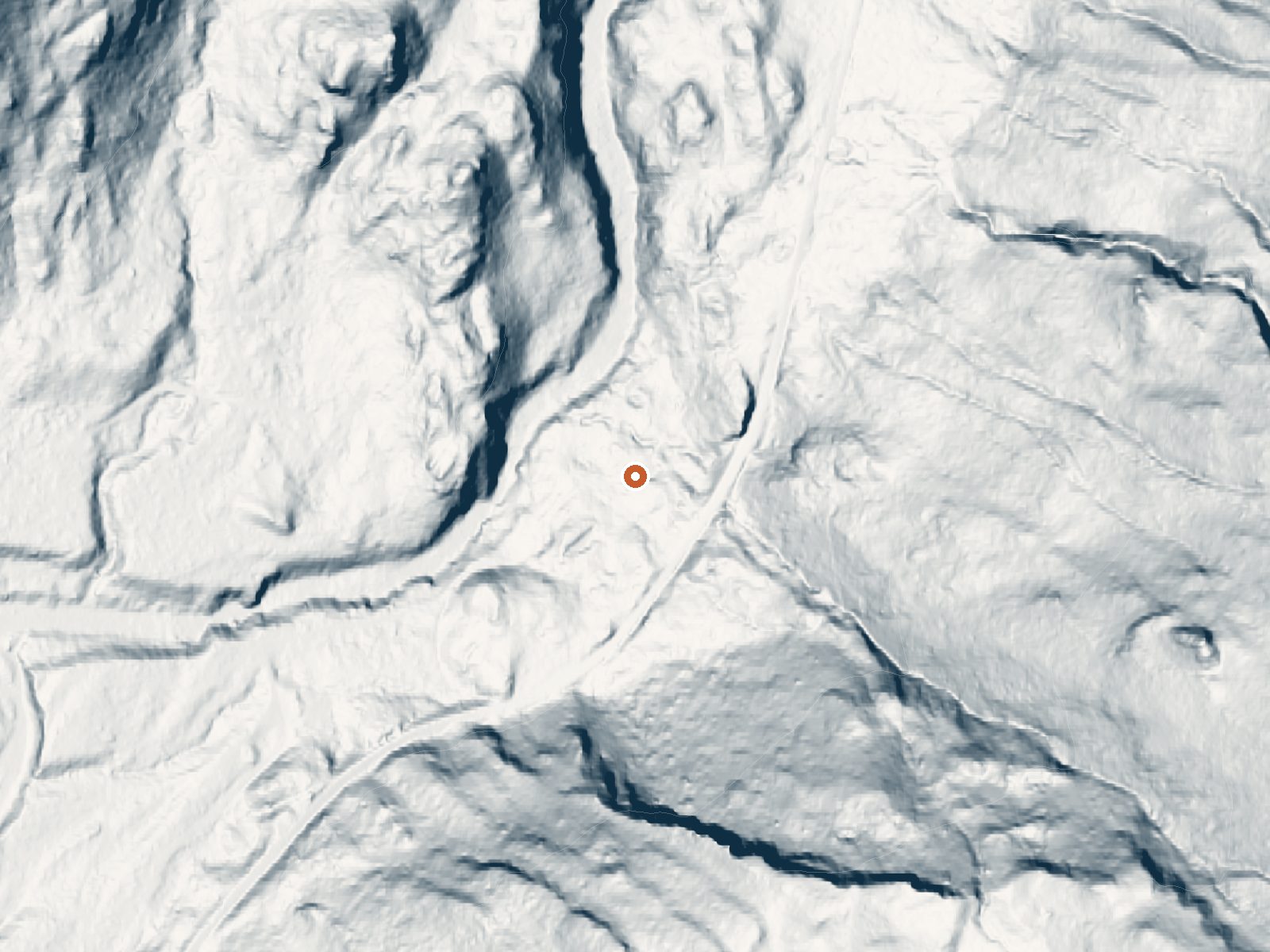
Drag the handle to compare the two views. The orange dot marks the spring, in a frame about three quarters of a mile wide.
- Setting
- Hillside
- The spring sits on a steep slope that climbs to the south.
- Highest ground nearby
- 660 ft above the spring
- Within a quarter mile, to the south
A slice through the ground from west to east, about 0.6 miles end to end.
Elevation data: USGS 3D Elevation Program. Aerial imagery: USGS The National Map. Public domain.
That's about 1½ times the US average of 65. It's higher than at 54% of the springs on this site.
Heat flow measures the warmth working its way up through the ground from deep inside the earth. Where it runs high, rain and snowmelt that seep down through cracks in the rock come back up hot.
See every spring on the geothermal heat map →
Heat flow estimate: Stanford Thermal Earth Model (Aljubran & Horne, 2024), CC BY 4.0.
The water at Ohanapecosh Hot Springs is slightly acidic (pH 6.6). It is notably rich in sodium (supports circulation and skin hydration) and chloride (natural antiseptic with skin health benefits).
Some links are affiliate links. We may earn a commission at no extra cost to you.
Overview Ohanapecosh Campground, on the southeast side of Mount Rainier National Park, is surrounded by old growth forest and crossed by an exceptionally beautiful snow-fed river. Close to Ohanapecosh are popular hikes to Silver Falls. The Grove of the Patriarchs trail is closed to public access until the bridge accessing the Grove is replaced. The main attraction at Mount Rainier National Park is the mountain itself, a glacier-clad volcano of immense proportions. At 14,411 ft., it dominates...
Ohanapecosh Hot Springs is road-accessible, so you can bring more gear. The water runs hot, so extra hydration is key.





As an Amazon Associate, we earn from qualifying purchases.
Springs Near Ohanapecosh Hot Springs
More Springs Around 122°F
Slightly Acidic Springs (pH ~6.6)
Hike 6 waterfalls near Ohanapecosh Hot Springs
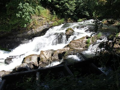
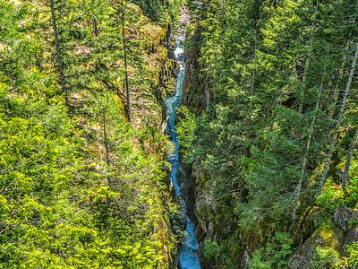

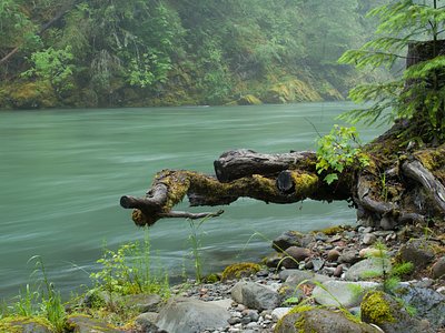
Looking for more outdoor adventures? Explore waterfall hikes near Ohanapecosh Hot Springs, Washington.