Green River Soda Spring
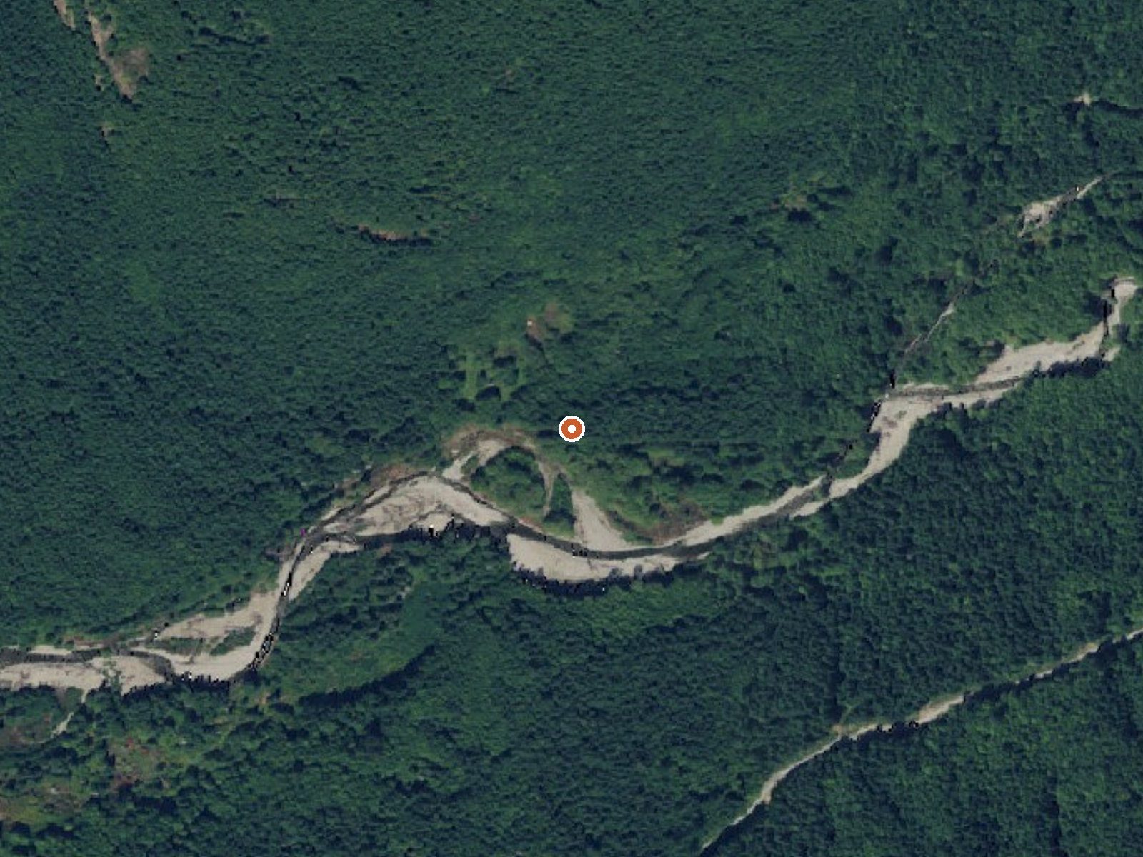
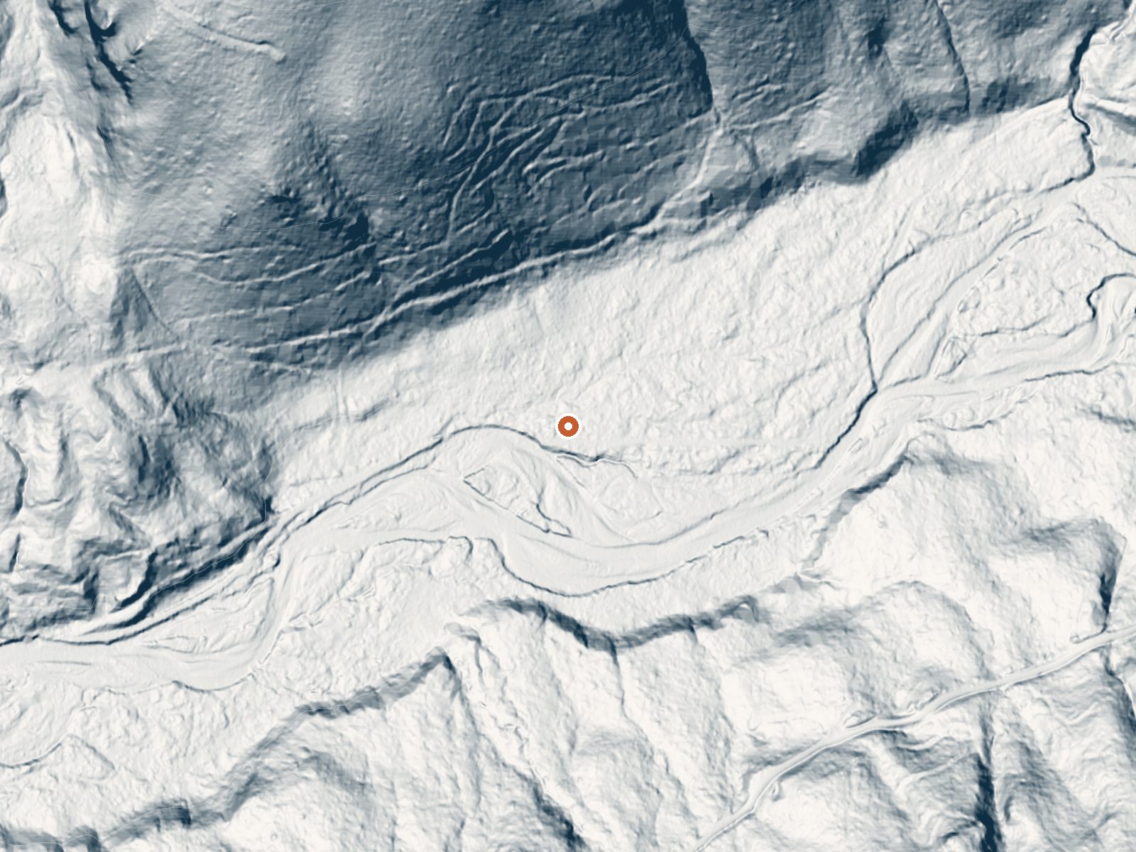
Drag the handle to compare the two views. The orange dot marks the spring, in a frame about three quarters of a mile wide.
Green River Soda Spring is a mineral spring in Lewis County, Washington, a dozen miles or so from Morton. The name says soda spring, the old term for naturally carbonated water. No chemistry sits in the record to confirm it. What is on file is a temperature in the high eighties, warm to the touch and too cool for a real hot soak, and a location a stone's throw from pavement. Ownership and access are blank.
This one is close to the road, a little over a hundred feet by the record, though the road itself goes unnamed in the record. Low elevation for the Cascade foothills. Wet country, with seventy-five inches of rain a year and a similar figure for snow, so the cold months bring real accumulation even this low down.
Winter is the season the record prefers. Iron Creek Campground, close to fourteen miles off, is the camping option on record. The water is only warm, so there is no burn risk, and there is also no mention of a pool, a fee, an owner, or permission to visit. Treat it as a dot on the map until you can confirm what is there.
Aircraft with laser scanners measured this ground to within inches. The scan strips out trees and buildings, leaving the bare shape of the land around Green River Soda Spring.
- Setting
- Hillside
- The spring sits on a steep slope that climbs to the north.
- Highest ground nearby
- 516 ft above the spring
- Within a quarter mile, to the north
A slice through the ground from north to south, about 0.6 miles end to end.
Elevation data: USGS 3D Elevation Program. Aerial imagery: USGS The National Map. Public domain.
That's about 1½ times the US average of 65. It's higher than at 40% of the springs on this site.
Heat flow measures the warmth working its way up through the ground from deep inside the earth. Where it runs high, rain and snowmelt that seep down through cracks in the rock come back up hot.
See every spring on the geothermal heat map →
Heat flow estimate: Stanford Thermal Earth Model (Aljubran & Horne, 2024), CC BY 4.0.
Some links are affiliate links. We may earn a commission at no extra cost to you.
Overview Iron Creek Campground sits near the confluence of Iron Creek and the Cispus River. This large campground winds through a forest of old-growth Douglas firs, cedars and hemlock. Lush vegetation and ample space between sites offers excellent privacy. Recreation Iron Creek provides great fishing for cutthroat trout, whitefish and rainbow trout. Visitors can stroll along the .3-mile Iron Creek Old Growth Trail and weave through the forest and along the Cispus River, or continue on a long...
Green River Soda Spring is road-accessible, so you can bring more gear.






As an Amazon Associate, we earn from qualifying purchases.
Springs Near Green River Soda Spring
More Springs Around 86°F
Hike 6 waterfalls near Green River Soda Spring
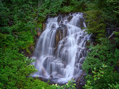
Looking for more outdoor adventures? Explore waterfall hikes near Green River Soda Spring, Washington.