Mt St Helens Fumaroles
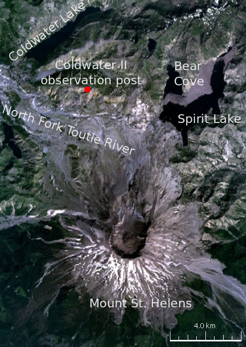
Fumaroles on Mount St. Helens, Lewis County, Washington, on Gifford Pinchot National Forest ground. The temperature given is near boiling, well into scalding territory. Morton is the town listed, about twenty-five miles. Public access is open on file, and the approach is a hike of three and a half miles from Climber's Bivouac Road, a name that tells you the character of the trip.
Just under seven thousand feet. The climate data shows precipitation past the hundred-inch mark and a deep snowpack, with an average temperature near freezing. Forest Service land in a national forest. The walk from the road is three and a half miles on the record, and the road name points to a climbers' staging area.
Lower Falls Campground, fifteen-odd miles distant, is the one campground on record. Winter months appear on record, but with this much snow the practical window is when the route is clear, and that is something to verify with the Forest Service. Near-boiling steam scalds on contact. Keep back from the vents.
Aircraft with laser scanners measured this ground to within inches. The scan strips out trees and buildings, leaving the bare shape of the land around Mt St Helens Fumaroles.
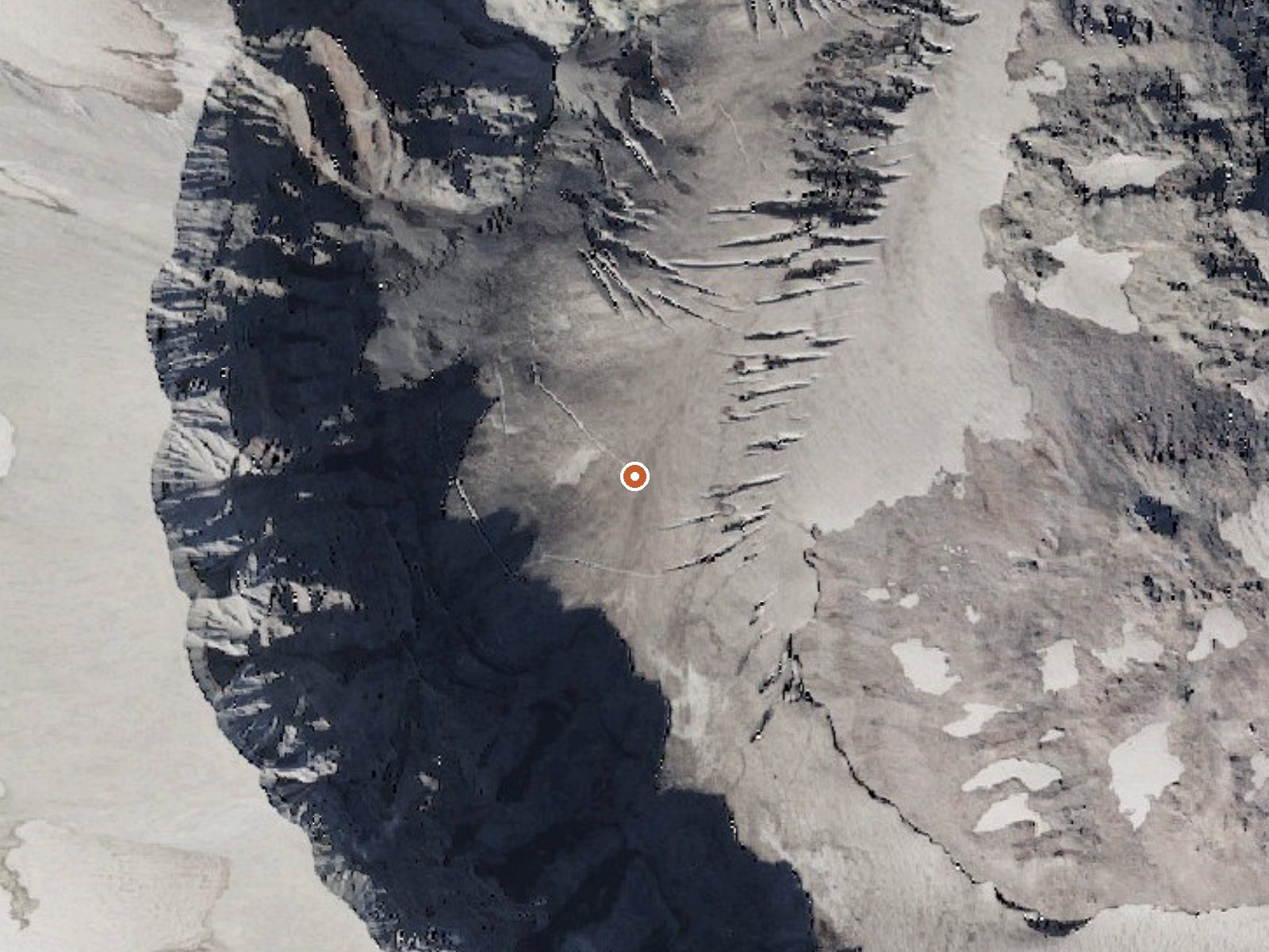
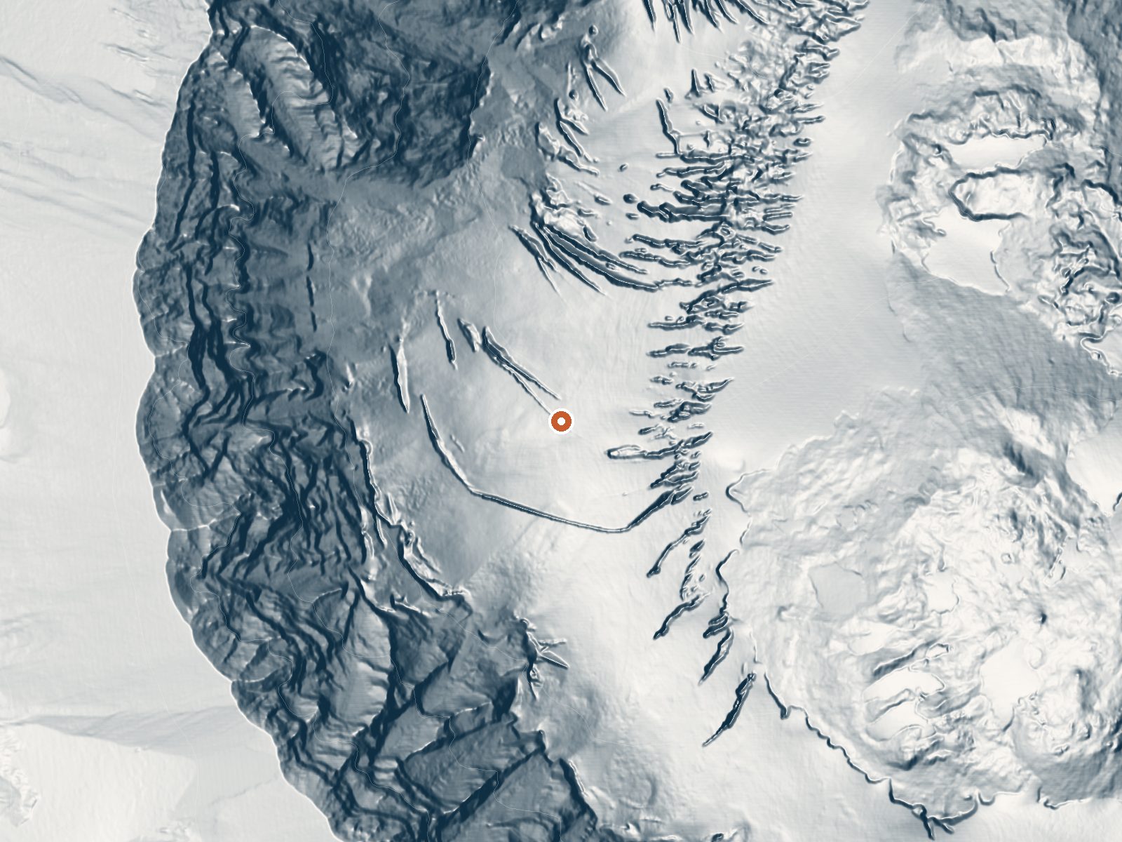
Drag the handle to compare the two views. The orange dot marks the spring, in a frame about three quarters of a mile wide.
- Setting
- Canyon floor
- Steep ground climbs away on both sides of the spring.
- Highest ground nearby
- 905 ft above the spring
- Within a quarter mile, to the west
A slice through the ground from northwest to southeast, about 0.6 miles end to end.
Elevation data: USGS 3D Elevation Program. Aerial imagery: USGS The National Map. Public domain.
That's close to the US average of 65. It's higher than at 3% of the springs on this site.
Heat flow measures the warmth working its way up through the ground from deep inside the earth. Where it runs high, rain and snowmelt that seep down through cracks in the rock come back up hot.
See every spring on the geothermal heat map →
Heat flow estimate: Stanford Thermal Earth Model (Aljubran & Horne, 2024), CC BY 4.0.
Some links are affiliate links. We may earn a commission at no extra cost to you.
Overview Lower Falls Campground is located in the Gifford Pinchot National Forest. Visitors enjoy several waterfalls in the area and access to the Lewis River Trail. The campground is open from mid-May through October.Recreation Near the campground are several trailheads that provide visitors with a variety of recreational opportunities. There are hiking trails, mountain bike trails, horse trails, and motorcycle trails within 10 miles of the campground. The Lewis River contains rainbow, cutth...
Mt St Helens Fumaroles sits at 6,906 feet above sea level, way above the mile-high mark. You may not feel the altitude strongly, but hot water still dehydrates you faster at elevation. UV is about 28% stronger than at sea level, so bring sunscreen and drink more water than you normally would.



As an Amazon Associate, we earn from qualifying purchases.
Mt St Helens Fumaroles is road-accessible, so you can bring more gear. The water is dangerously hot, so bring water shoes and test pools carefully. Cold air temperatures make a changing robe or warm layers essential.





As an Amazon Associate, we earn from qualifying purchases.
Springs Near Mt St Helens Fumaroles
More Springs Around 190°F
Hike 6 waterfalls near Mt St Helens Fumaroles
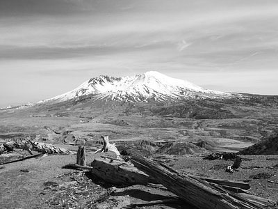
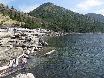
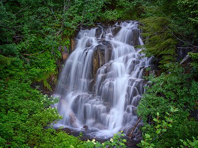
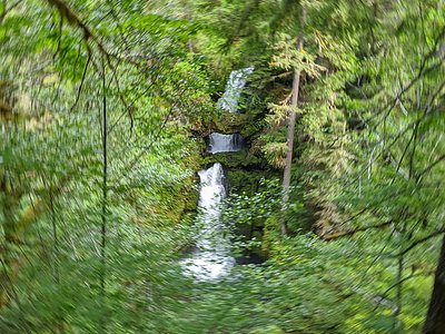
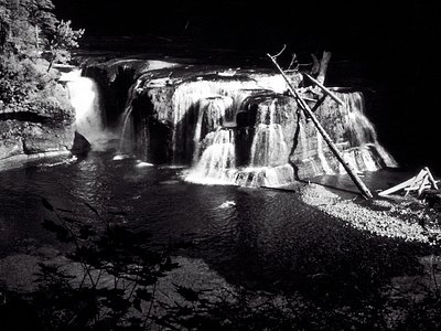
Looking for more outdoor adventures? Explore waterfall hikes near Mt St Helens Fumaroles, Washington.