Swan Pond Spring
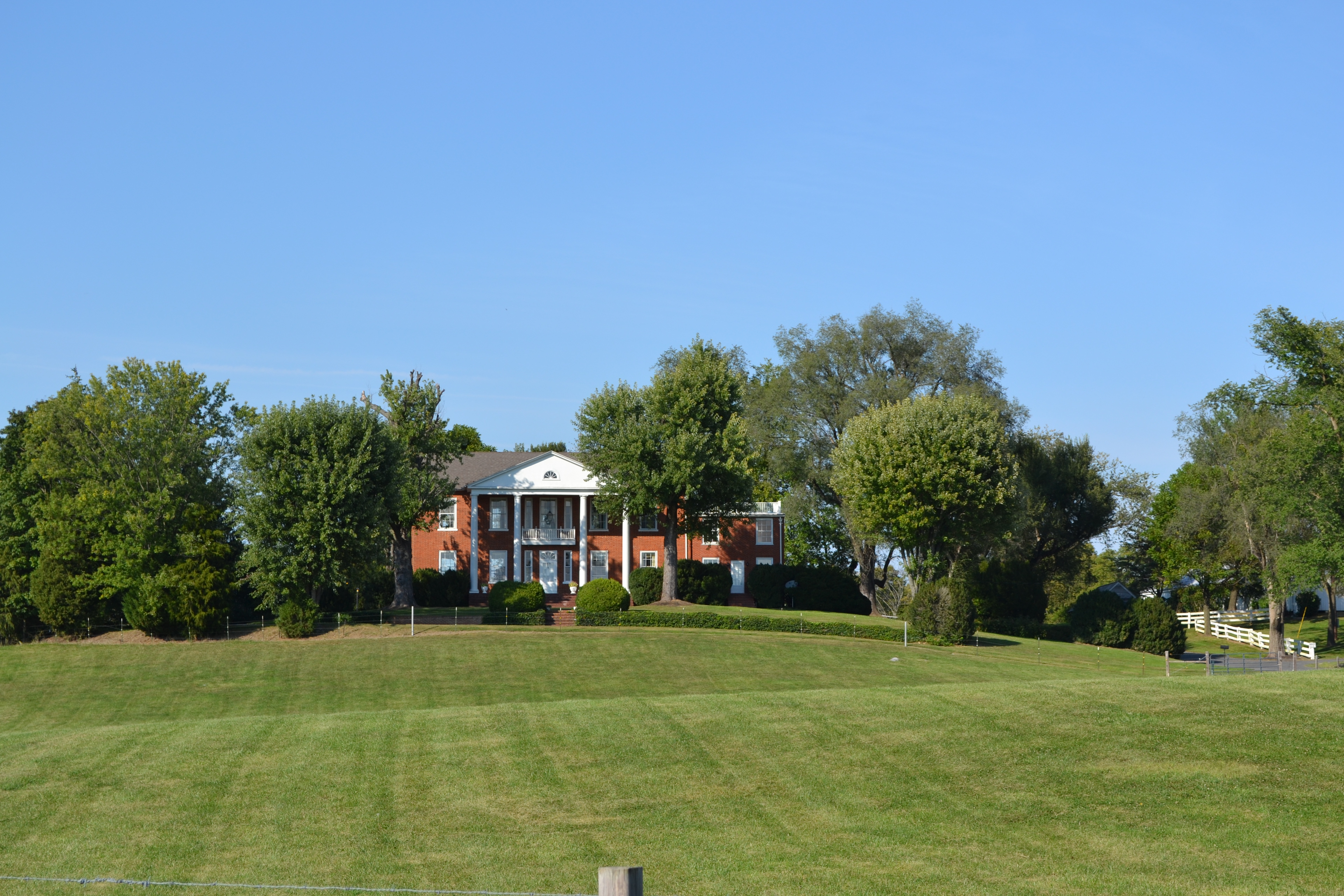
Swan Pond Spring is a tepid spring in Jefferson County, West Virginia, about five miles outside Shepherdstown. The water on file runs in the low seventies, which is bathwater gone cold, so nobody comes here for a soak. It appears in the USGS thermal inventory, and that is mostly why it has a page. Who owns the ground, and whether anyone may walk onto it, is not recorded.
Low ground, well under a thousand feet, in a part of the state that gets a wet year and a modest winter, two feet of snow spread across the cold months. Hollida Lane passes within a couple hundred feet, so the record calls it roadside. No land unit is attached, no park and no forest. Treat it as private until you learn otherwise.
The climate data on file favors December through February, though at this temperature the season matters less than whether anyone will let you near it. Access status is blank, so ask before you go. Rohrbach Group Campground is the closest camping listed, around seven miles off. Heat is no concern; the water is about room temperature.
The spring is on the USGS books as a numbered site.
Aircraft with laser scanners measured this ground to within inches. The scan strips out trees and buildings, leaving the bare shape of the land around Swan Pond Spring.
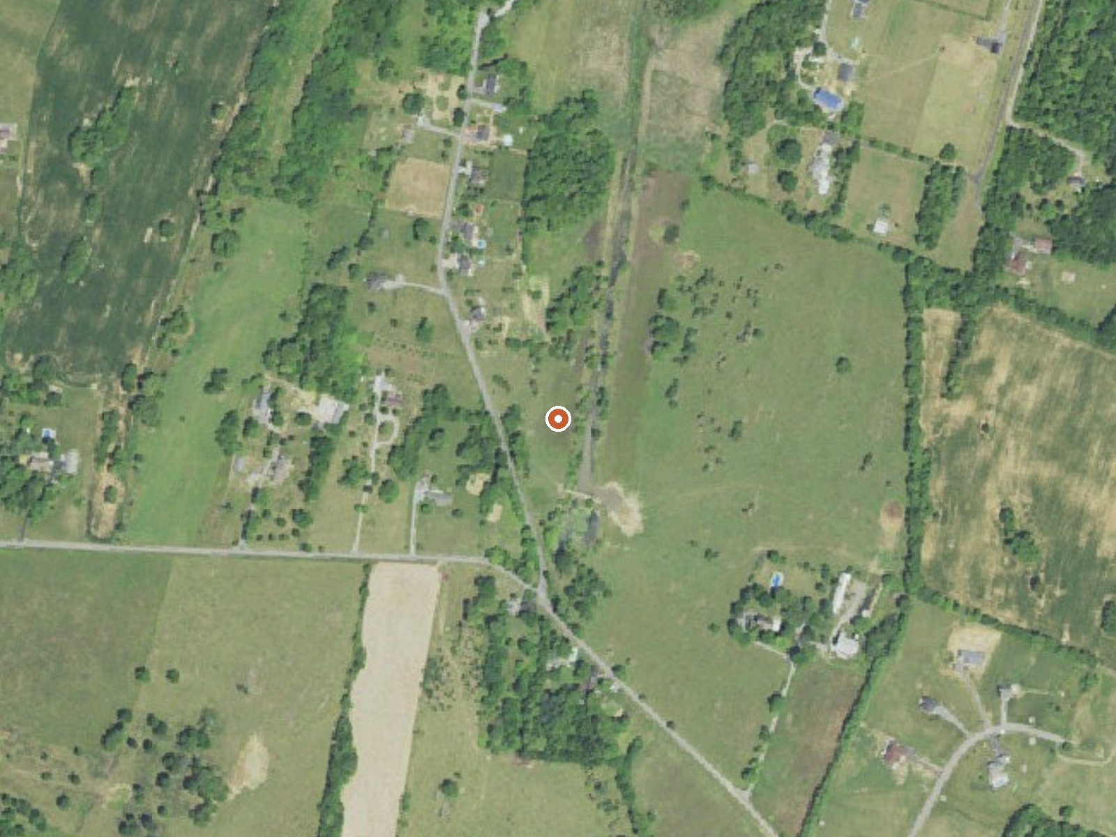
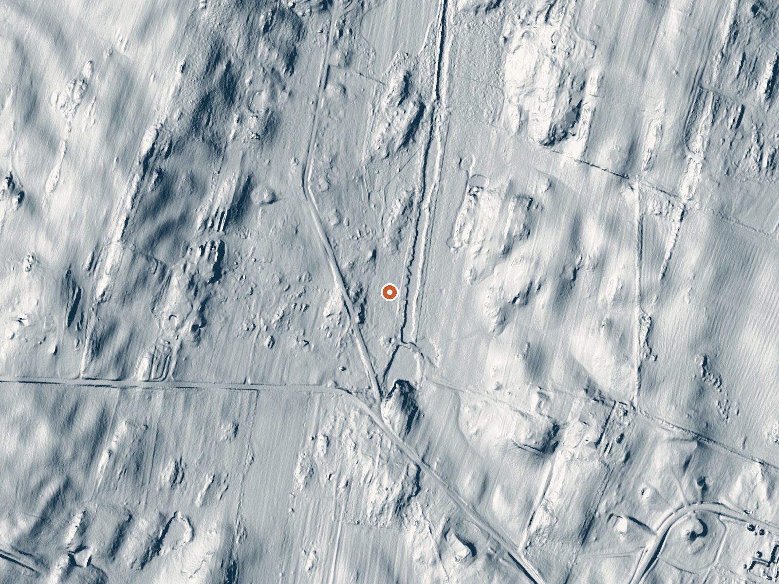
Drag the handle to compare the two views. The orange dot marks the spring, in a frame about three quarters of a mile wide.
- Setting
- Open ground
- Flat, open ground all around.
- Highest ground nearby
- 51 ft above the spring
- Within a quarter mile, to the northwest
A slice through the ground from northwest to southeast, about 0.6 miles end to end.
Elevation data: USGS 3D Elevation Program. Aerial imagery: USGS The National Map. Public domain.
That's close to the US average of 65. It's higher than at 1% of the springs on this site.
Heat flow measures the warmth working its way up through the ground from deep inside the earth. Where it runs high, rain and snowmelt that seep down through cracks in the rock come back up hot.
See every spring on the geothermal heat map →
Heat flow estimate: Stanford Thermal Earth Model (Aljubran & Horne, 2024), CC BY 4.0.
Some links are affiliate links. We may earn a commission at no extra cost to you.
Overview THIS IS NOT A PUBLIC CAMPGROUND. ONLY SCOUTS AND CIVIC ORGANIZATIONS MAY USE ROHRBACH CAMPGROUND.Antietam National Battlefield is the site of the bloodiest one day battle in American history. After twelve hours of savage combat on September 17, 1862, 23,000 soldiers were killed, wounded or missing. The Battle of Antietam ended the Confederate Army of Northern Virginia's first invasion into the North and led to Abraham Lincoln's issuance of the preliminary Emancipation Proclamation. R...
Swan Pond Spring is road-accessible, so you can bring more gear.






As an Amazon Associate, we earn from qualifying purchases.
Springs Near Swan Pond Spring
More Springs Around 72°F
Hike 2 waterfalls near Swan Pond Spring
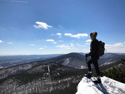
Looking for more outdoor adventures? Explore waterfall hikes near Swan Pond Spring, West Virginia.