Hot Spring On Kagamil Island
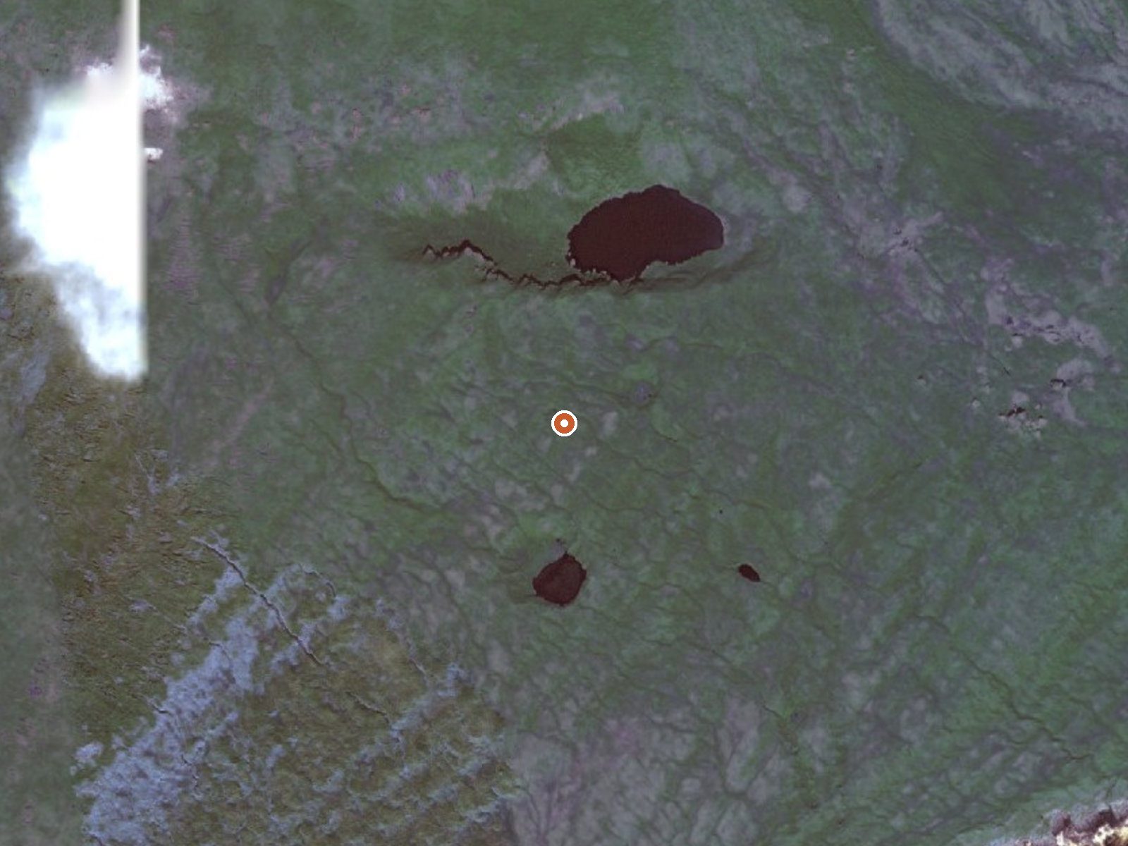
The orange dot marks the spring, in a frame about three quarters of a mile wide.
Kagamil Island, in the Aleutians West Census Area, carries a hot spring in the Alaska Maritime National Wildlife Refuge's thermal inventory. The heat is a qualifier on file, with no measured figure behind it. Dutch Harbor is the nearest town listed. Access is restricted and the island is backcountry by any definition, with the closest road roughly thirty-five miles away.
Fish and Wildlife Service refuge land, several hundred feet up. Reaching it means getting to the island first, then crossing ground that nothing on file describes. Weather averages in the high thirties. Snow comes in at around four and a half feet a year, with rain on top of that for most of the rest.
Restricted access through the Alaska Maritime refuge. Nothing on file about season or camping, and no fee listed. The temperature is unmeasured, so treat it as unknown before you think about getting in. The approach is long enough to put any visit in expedition territory.
USGS hasn't flown a detailed laser scan here yet, so this view comes from aerial photos and older elevation data.
- Setting
- Hillside
- The spring sits on a steep slope that climbs to the north.
- Highest ground nearby
- 363 ft above the spring
- Within a quarter mile, to the north
A slice through the ground from northwest to southeast, about 0.6 miles end to end.
Elevation data: USGS 3D Elevation Program. Aerial imagery: USGS The National Map. Public domain.