Hot Springs Near Geyser Bight
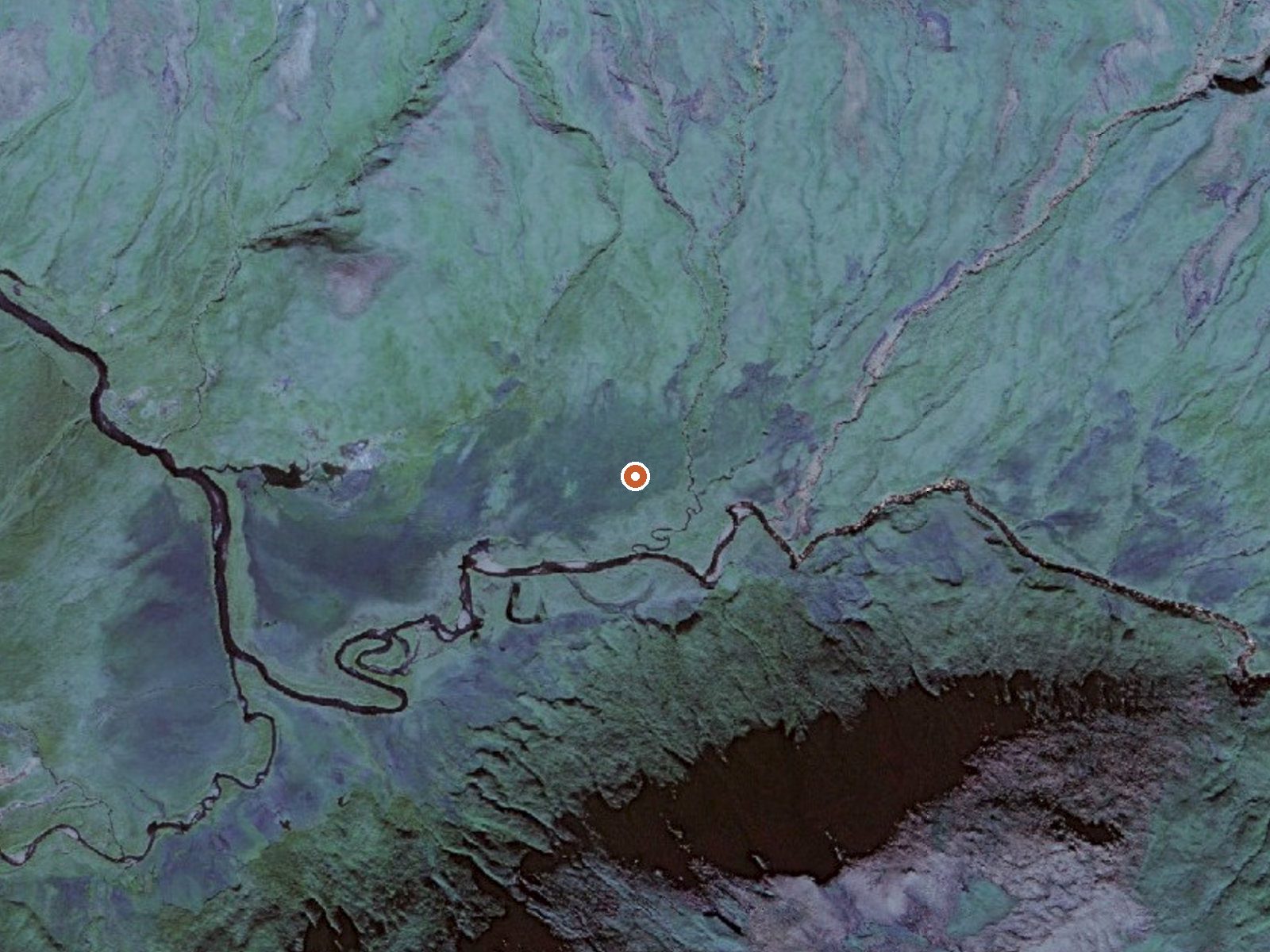
The orange dot marks the spring, in a frame about three quarters of a mile wide.
This entry near Geyser Bight in the Aleutians West Census Area is boiling, 216 degrees at the source, which makes it a thermal feature to look at and nothing to touch. Unalaska is the nearest town, about ninety miles off. The land has no owner or access status on record, and the only road on file, Beachmaster Street, is twenty-three miles away.
Low ground, around a hundred feet of elevation. Beachmaster Street is the road on record, and the approach from it is backcountry. No land unit or manager is on file. Maritime weather, low forties on average. Snow piles to eight feet in a usual year, and it rains a lot.
Boiling water. There is no soaking here at the source and the record names no cooler pool. The best-month flag covers January through March. Neither access status nor land owner is recorded; nobody to call. No campground or fee recorded. Twenty-three miles of backcountry from the last road.
USGS hasn't flown a detailed laser scan here yet, so this view comes from aerial photos and older elevation data.
- Setting
- Canyon floor
- Steep ground climbs away on both sides of the spring.
- Highest ground nearby
- 471 ft above the spring
- Within a quarter mile, to the south
A slice through the ground from north to south, about 0.6 miles end to end.
Elevation data: USGS 3D Elevation Program. Aerial imagery: USGS The National Map. Public domain.
Landsat's thermal camera passed over on a clear winter day, February 26, 2025. This spring's heat shows up from about 440 miles up. The brightest yellow marks the warmest ground, roughly 17°F warmer than the land around it.
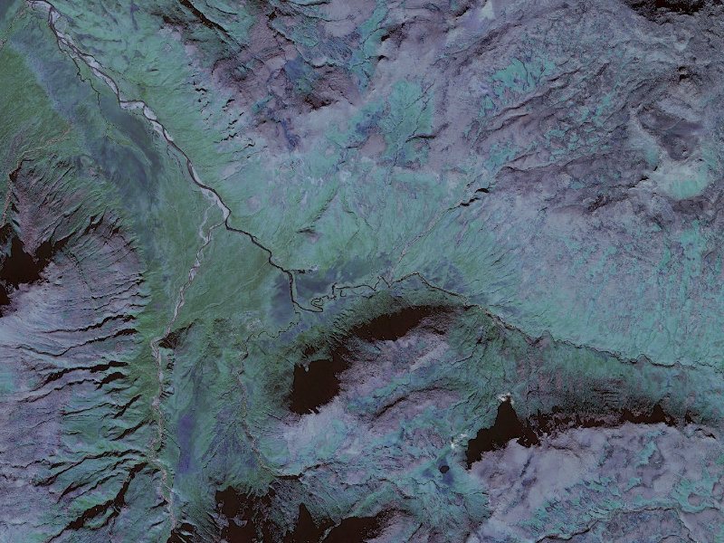
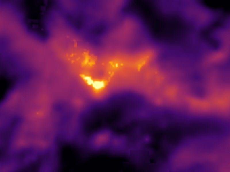
Drag to compare. The view is about 2½ miles across, and each thermal pixel covers roughly 300 feet of ground, so individual pools blur into one warm patch.
Thermal: Landsat 8/9 surface temperature, USGS (public domain), via Microsoft Planetary Computer. Aerial: USGS The National Map. More springs seen from space.