Hot Springs On Upper Chuilnuk River
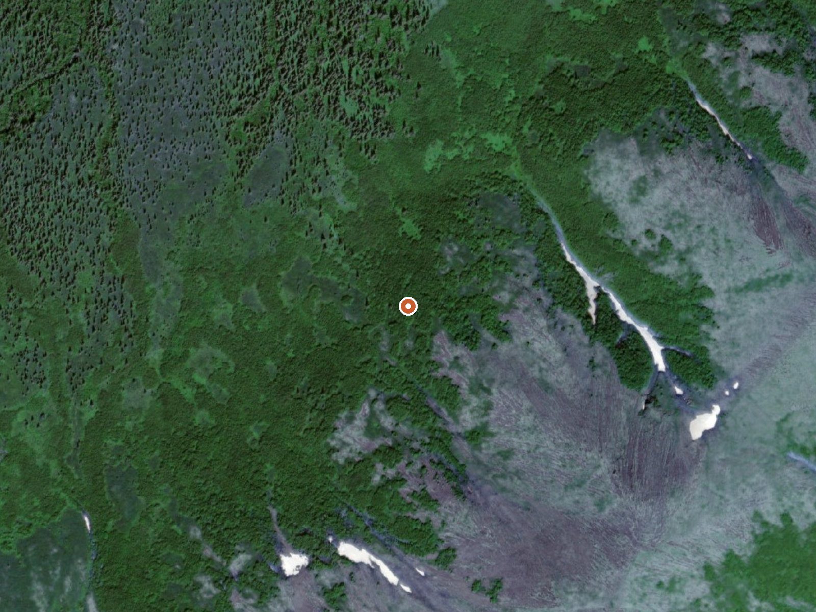
The orange dot marks the spring, in a frame about three quarters of a mile wide.
Hot springs on the upper Chuilnuk River, Dillingham Census Area, on state land the listing marks as tentatively approved for conveyance. No temperature on file. Access unknown. Dillingham, the nearest community named, is more than a hundred and sixty miles away, so this is a remote thermal point and nothing in the record says anyone has soaked here.
Twelve hundred feet of elevation, and the nearest road is a tractor trail twenty-one miles away, with nothing written about the ground between. Cold average year, moderate snow, fairly dry by Alaska standards. The state Department of Natural Resources manages the land. No cabin or campground is recorded, and no facility of any kind.
No best months listed. Backcountry; the record describes no route. Access is unknown, so the state land office is where to ask. Without a number for the water you cannot plan on a soak, and hot in the name could be anything. Nobody has written down a fee or a camping option.
USGS hasn't flown a detailed laser scan here yet, so this view comes from aerial photos and older elevation data.
- Setting
- Hillside
- The spring sits on a steep slope that climbs to the southeast.
- Highest ground nearby
- 794 ft above the spring
- Within a quarter mile, to the southeast
A slice through the ground from northwest to southeast, about 0.6 miles end to end.
Elevation data: USGS 3D Elevation Program. Aerial imagery: USGS The National Map. Public domain.