Hot Spring On Tributary Of Innoko R
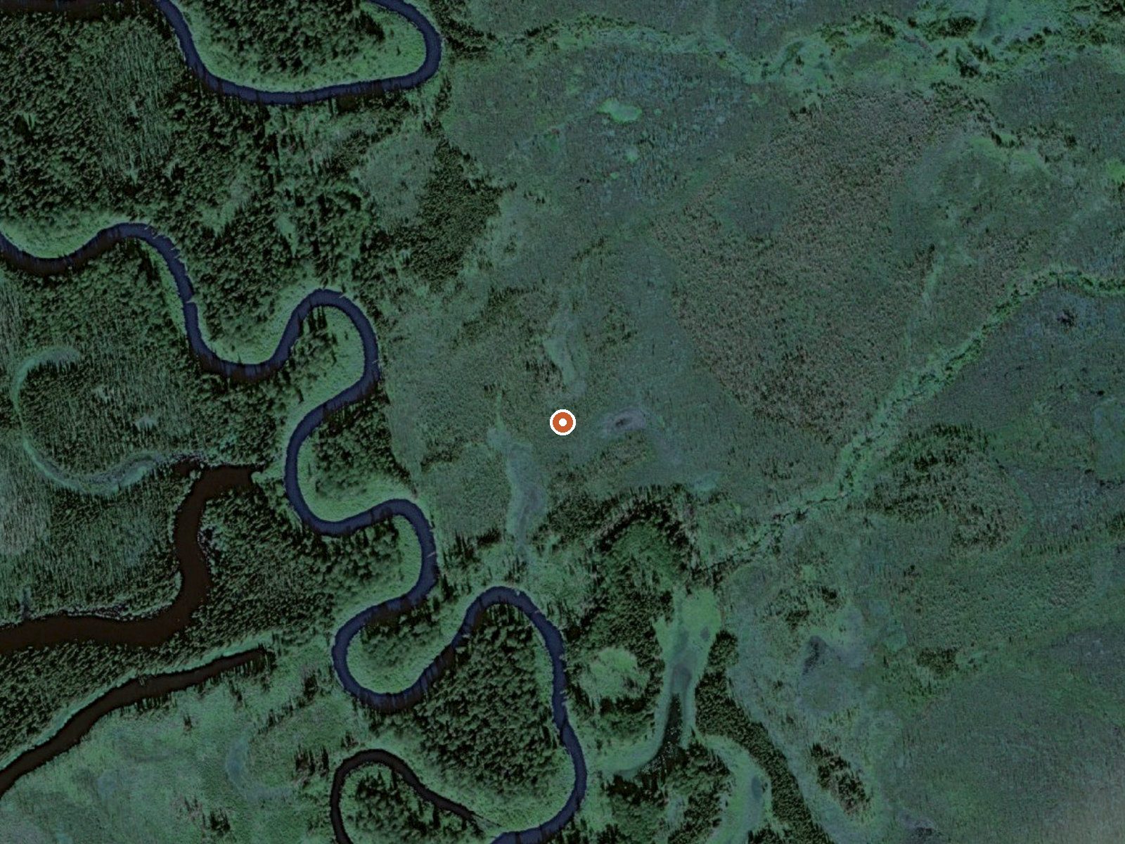
The orange dot marks the spring, in a frame about three quarters of a mile wide.
On a tributary of the Innoko River, on land the record lists as state patented under the state Department of Natural Resources, a hot spring is logged with access marked unknown. The nearest road is a mining trail about sixteen miles out. Dillingham is the closest town the record gives, and it is nowhere near; three hundred and fifty miles. The water is classed hot and no reading exists.
Low country, a couple hundred feet up. The approach is backcountry: the closest road on file is called Mining Trail. State land, which changes who you ask about access. Snow is moderate for Alaska, under four feet. The climate is dry, with the average temperature a couple degrees below freezing.
Access is recorded as unknown, so the first job is finding out from the state if anyone may go there. The record holds no season guidance or campground, and no fee. The temperature is a category without a number. Coming in from a mining trail with no route described means self-supported travel.
USGS hasn't flown a detailed laser scan here yet, so this view comes from aerial photos and older elevation data.
- Setting
- Open ground
- Flat, open ground all around.
- Highest ground nearby
- 13 ft above the spring
- Within a quarter mile, to the northeast
A slice through the ground from southwest to northeast, about 0.6 miles end to end.
Elevation data: USGS 3D Elevation Program. Aerial imagery: USGS The National Map. Public domain.