Agua Caliente Springs
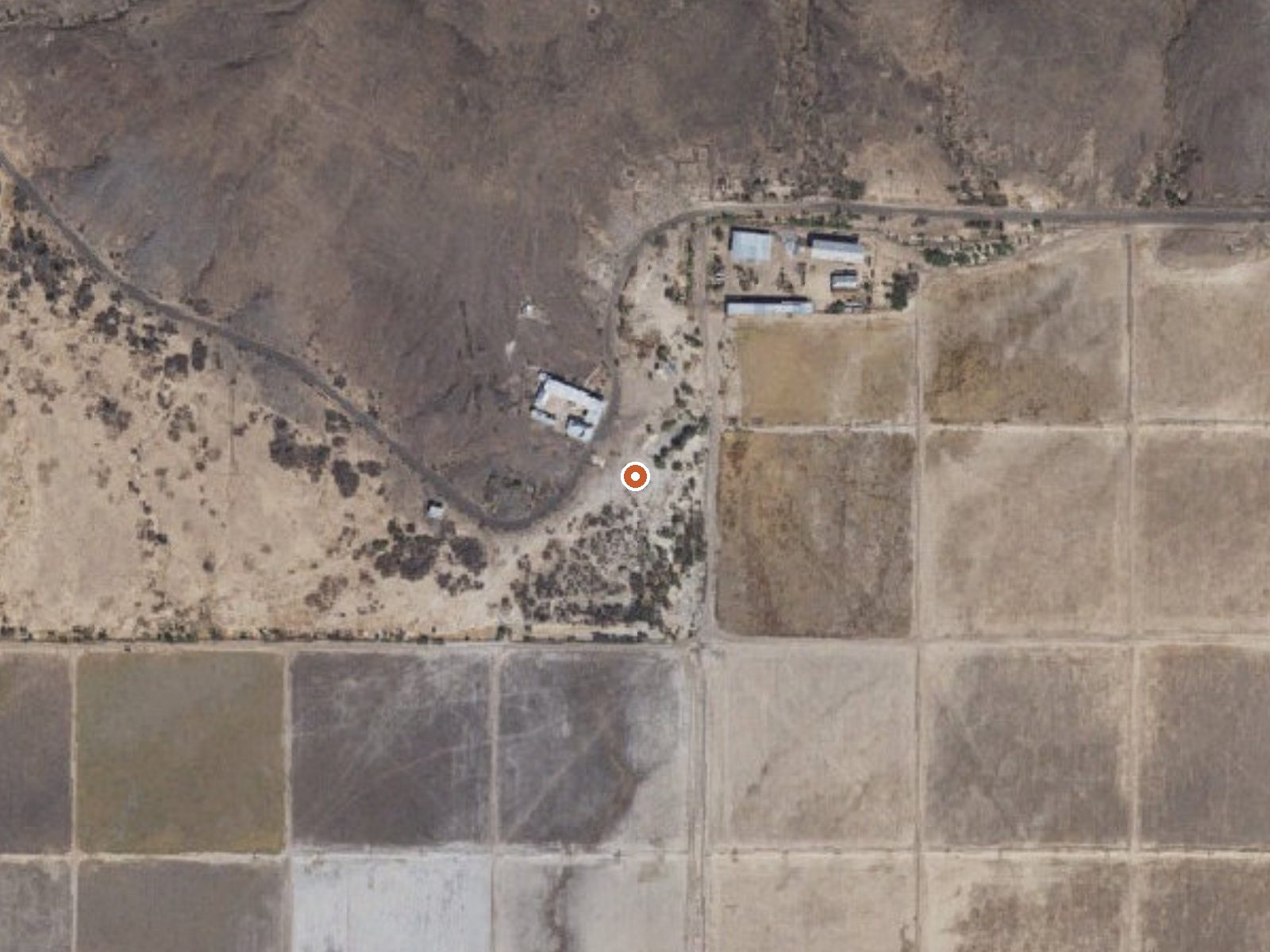
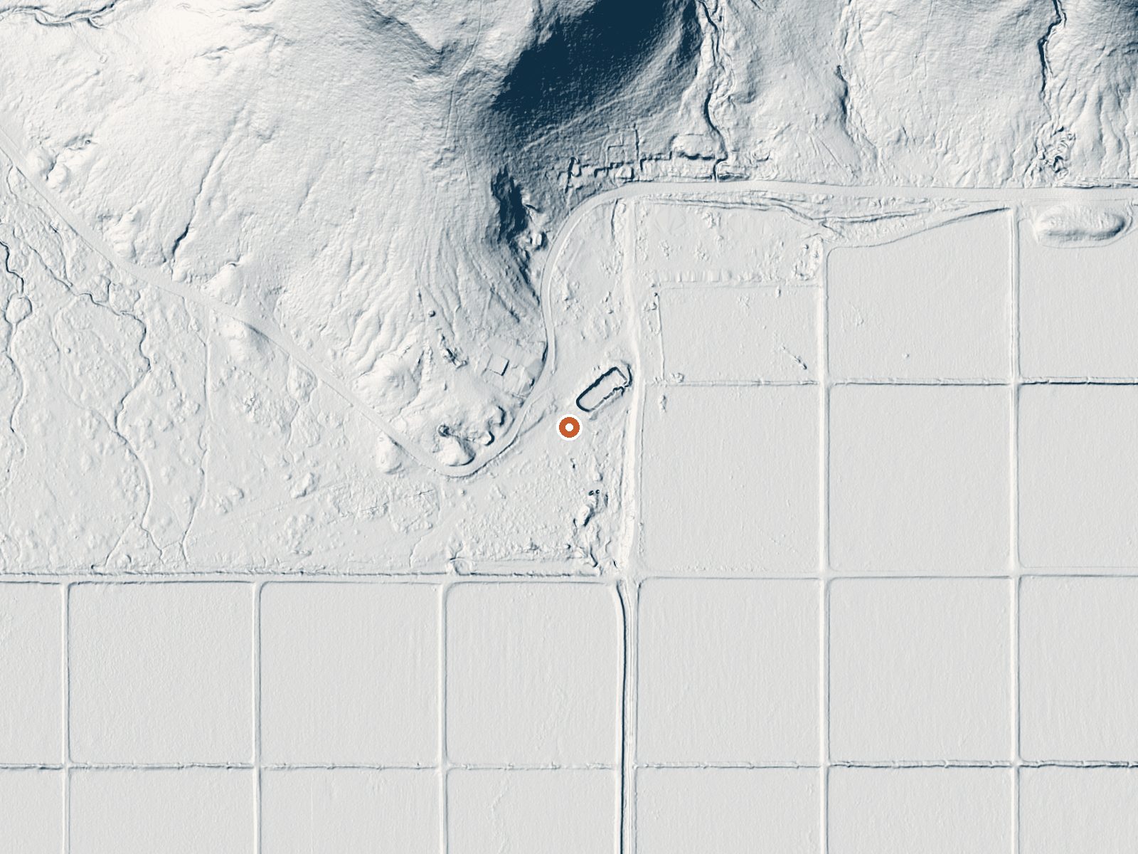
Drag the handle to compare the two views. The orange dot marks the spring, in a frame about three quarters of a mile wide.
Agua Caliente Springs is the Maricopa County one, about 35 miles from Gila Bend, Arizona, with water at 102 degrees, a true soaking temperature. The name is Spanish for hot water. It sits low, on the desert floor, in a climate that sees very little rain in a year and no snow at all. Access and ownership are not on record, and no water sample has been taken.
Roadside off West Old Agua Caliente Road, less than two hundred feet in. Desert floor, hot year-round by the averages, bone dry. Painted Rock Petroglyph Campground is the closest camping in the file, a bit over sixteen miles away. The file names no land unit and no designation.
December, January and February are the listed months, which makes sense in a place this hot in summer. The water temperature is right for soaking. Ownership is unrecorded, and so is the question of whether it is open; sort that out before you plan on getting in. No fee is listed.
Aircraft with laser scanners measured this ground to within inches. The scan strips out trees and buildings, leaving the bare shape of the land around Agua Caliente Springs.
- Setting
- Gentle slope
- The ground tilts gently up to the north.
- Highest ground nearby
- 155 ft above the spring
- Within a quarter mile, to the north
A slice through the ground from south to north, about 0.6 miles end to end.
Elevation data: USGS 3D Elevation Program. Aerial imagery: USGS The National Map. Public domain.
That's close to the US average of 65. It's higher than at 11% of the springs on this site.
Heat flow measures the warmth working its way up through the ground from deep inside the earth. Where it runs high, rain and snowmelt that seep down through cracks in the rock come back up hot.
See every spring on the geothermal heat map →
Heat flow estimate: Stanford Thermal Earth Model (Aljubran & Horne, 2024), CC BY 4.0.
Some links are affiliate links. We may earn a commission at no extra cost to you.
Overview Painted Rock Petroglyph Site, approximately 90 miles southwest of Phoenix, Arizona, provides visitors the opportunity to view an archaeological site containing hundreds of figures and designs carved into rocks, known as petroglyphs. These were produced centuries ago by indigenous peoples. This site is considered important and even sacred to many of the Native American tribes in southern Arizona. Please keep this in mind when you visit and be respectful. Climbing on the rocks is prohi...
Agua Caliente Springs is road-accessible, so you can bring more gear. Bring sun protection for exposed soaking.



As an Amazon Associate, we earn from qualifying purchases.
Springs Near Agua Caliente Springs
More Springs Around 102°F
Hike 1 waterfall near Agua Caliente Springs
Looking for more outdoor adventures? Explore waterfall hikes near Agua Caliente Springs, Arizona.