Quitobaquito Springs

Quitobaquito Springs sits inside Organ Pipe Cactus National Monument, National Park Service land, with Sonoyta given as the nearest town. The water is soaking warm, right around body heat. Access is open. The country is very dry, six inches of rain most years and no snow at all.
Low desert near eleven hundred feet. The nearest road on file is the Carretera Sonoita - Mexicali, and the spring is about a third of a mile from it on foot. National monument rules apply on this ground. Summers run hot; the annual average is in the mid seventies, which tells you the warm months are fierce. Twin Peaks Campground is the closest camping listed, roughly twelve miles away.
Winter, December through February by the record. The walk in is short. Camping is at Twin Peaks, about a dozen miles out. The last water sample on file dates to 1985 and showed a neutral pH with iron present alongside calcium and sodium; that is old information. Check with the monument on current rules before counting on a soak.
Aircraft with laser scanners measured this ground to within inches. The scan strips out trees and buildings, leaving the bare shape of the land around Quitobaquito Springs.
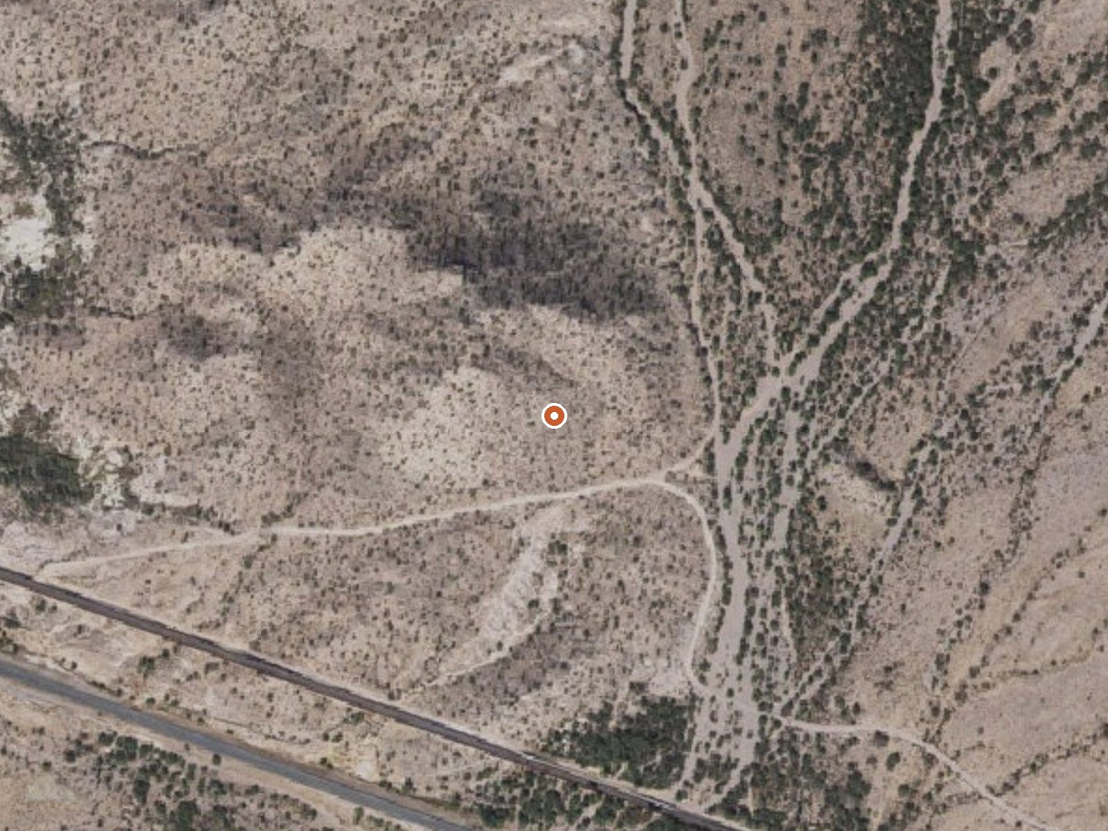
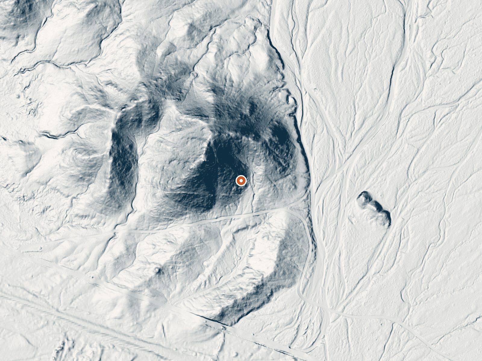
Drag the handle to compare the two views. The orange dot marks the spring, in a frame about three quarters of a mile wide.
- Setting
- Hillside
- The spring sits on a steep slope that climbs to the northwest.
- Highest ground nearby
- 141 ft above the spring
- Within a quarter mile, to the northwest
A slice through the ground from northwest to southeast, about 0.6 miles end to end.
Elevation data: USGS 3D Elevation Program. Aerial imagery: USGS The National Map. Public domain.
That's about 1½ times the US average of 65. It's higher than at 22% of the springs on this site.
Heat flow measures the warmth working its way up through the ground from deep inside the earth. Where it runs high, rain and snowmelt that seep down through cracks in the rock come back up hot.
See every spring on the geothermal heat map →
Heat flow estimate: Stanford Thermal Earth Model (Aljubran & Horne, 2024), CC BY 4.0.
The water at Quitobaquito Springs is slightly alkaline (pH 7.7). It is notably rich in chloride (natural antiseptic with skin health benefits).
Some links are affiliate links. We may earn a commission at no extra cost to you.
Overview Twin Peaks Campground is located within Organ Pipe Cactus National Monument, in the heart of the Sonoran Desert along the United States border with Mexico. This landscape reveals a thriving community of plants, animals, and human stories that echo throughout this desert preserve, chronicling thousands of years of desert living. A scenic drive, a wilderness hike, or a night of camping will expose you to a flourishing, living desert. Recreation Along with photography and birding, hikin...
Quitobaquito Springs is road-accessible, so you can bring more gear. Bring sun protection for exposed soaking.




As an Amazon Associate, we earn from qualifying purchases.